
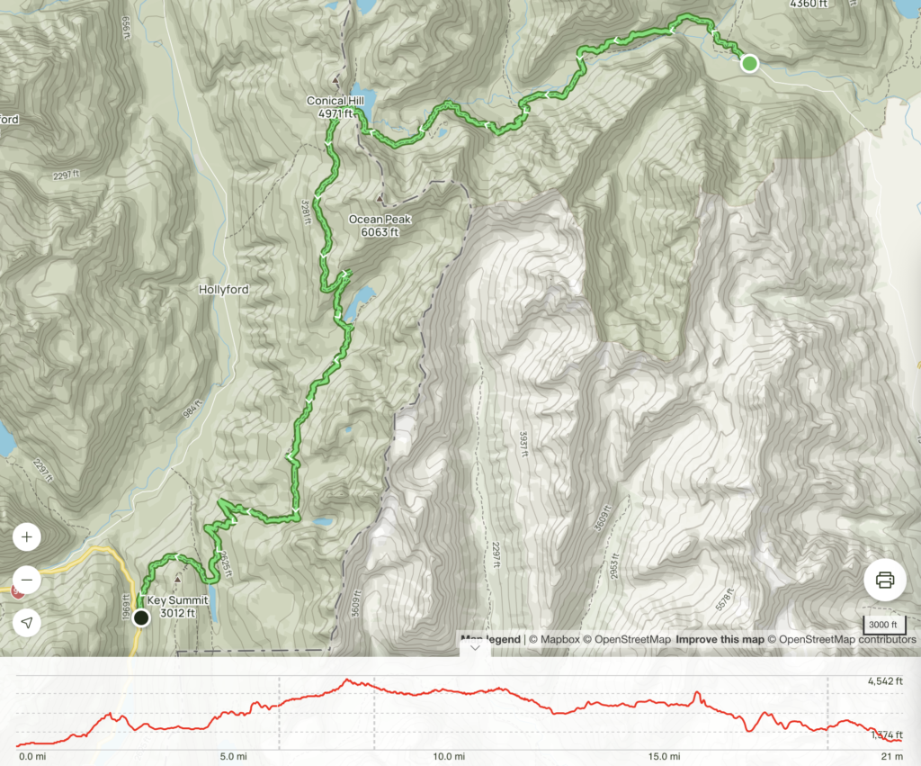
Length: 20.62 mi
Elev. gain: 8553 ft
Moving time: 12 hrs 4 mins
The hike:
https://www.alltrails.com/explore/recording/routeburn-track–224
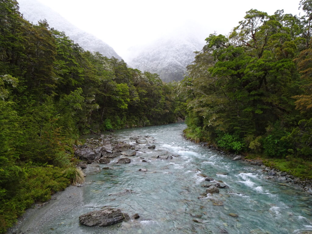
Routeburn Track is one of New Zealand’s 10 Great Walks and is considered by many one of the most beautiful hikes in the world. It was one of my bucket list items to cross off.
The trail is 32 km long and usually takes 2-4 days to finish. Due to limited time (mainly to avoid spending one more night in a hut), I decided to do it in 2 days with my friend CYY.
We flew to Queenstown and then took a bus to Glenorchy where we stayed for the night before the hike.
Day 1 (11/19/2018): Route burn Shelter –> Routeburn Flats –> Harris Saddle –> Lake Mackenzie (20.1 km)
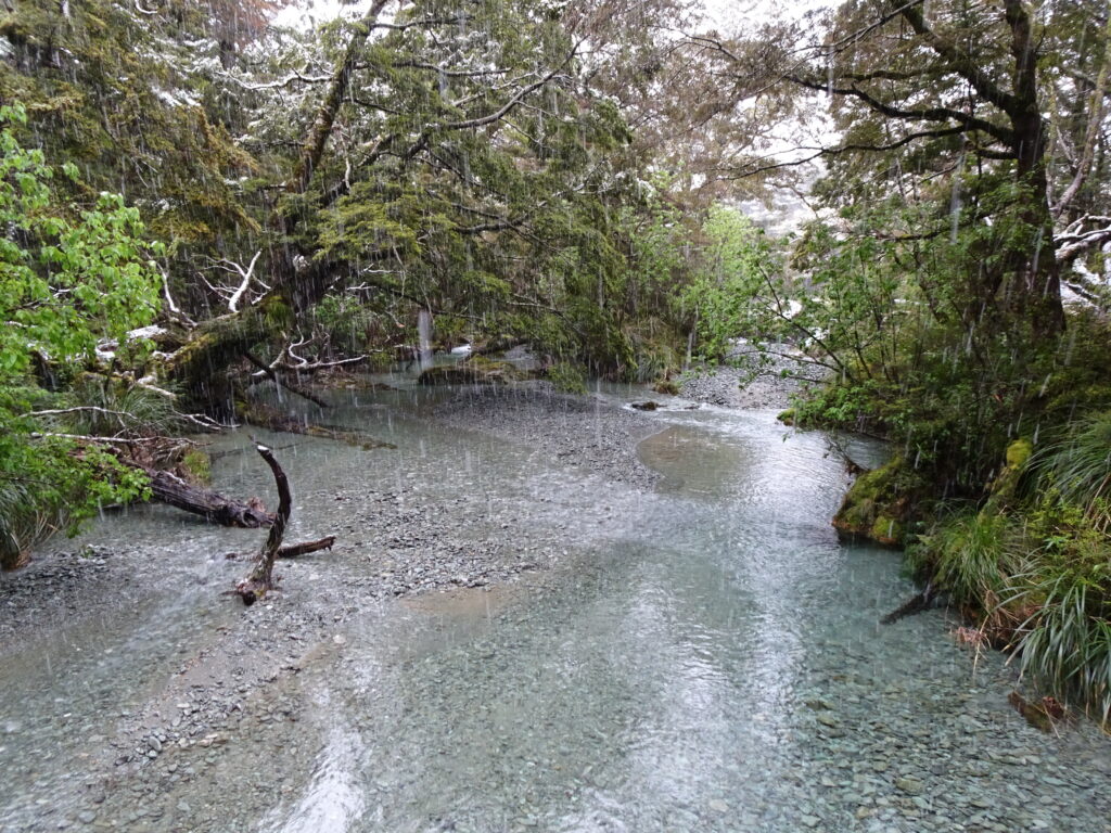
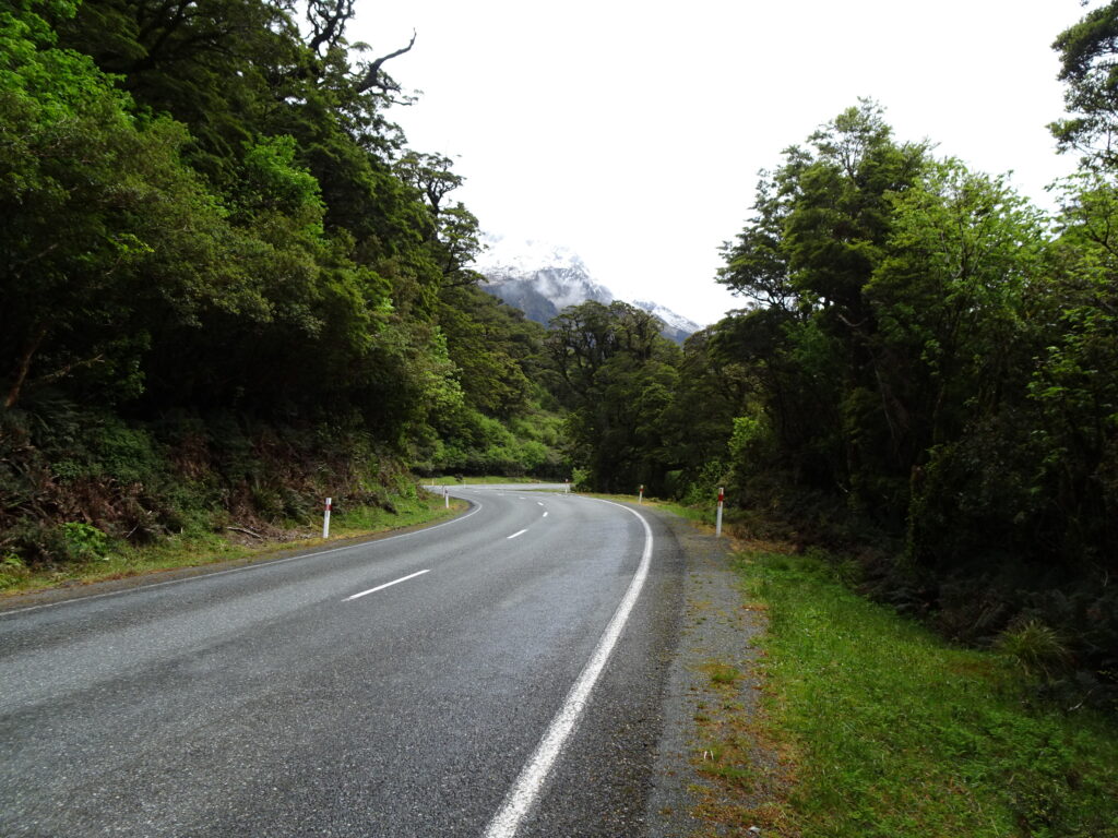
Our shuttle dropped us off at the Routeburn Shelter trailhead early in the morning where we started our hike at around 7:30am.
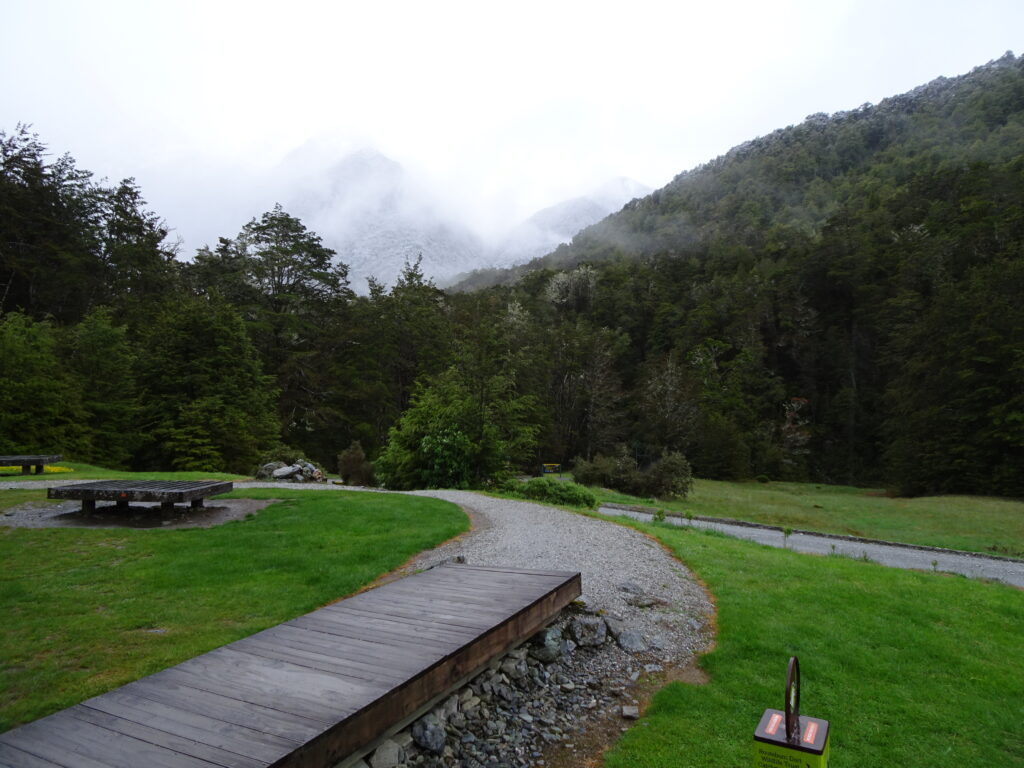
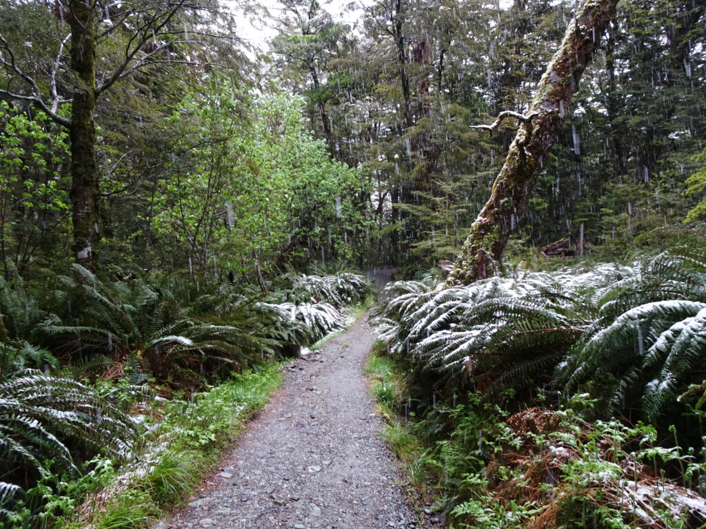
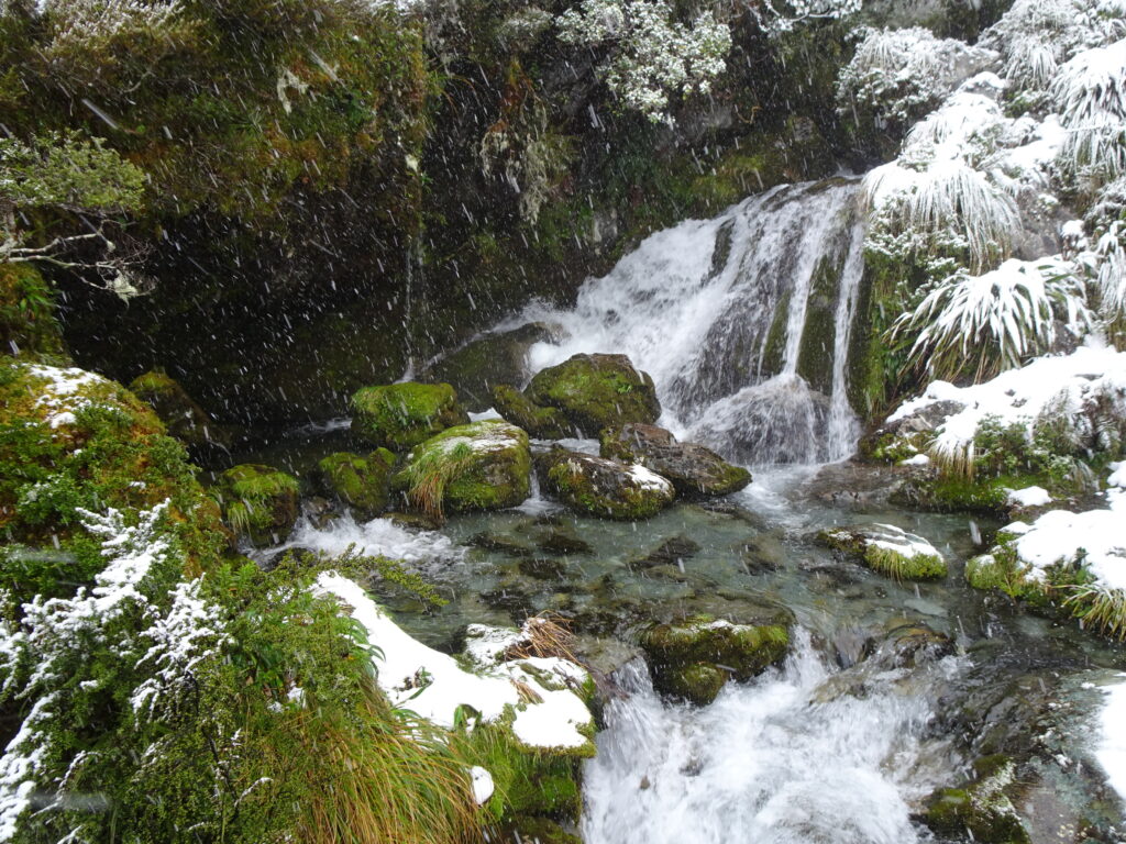
There was a light rain but it wasn’t too bad.
It was the end of spring and summer was supposed to start next week. But New Zealand was hit by an unusual cold wave and temperatures dropped significantly. As we started climbing uphill, the rain turned into snow.
Being in Southern California for so long, I hadn’t seen a snow fall for over 30 years. This was very exciting for me.
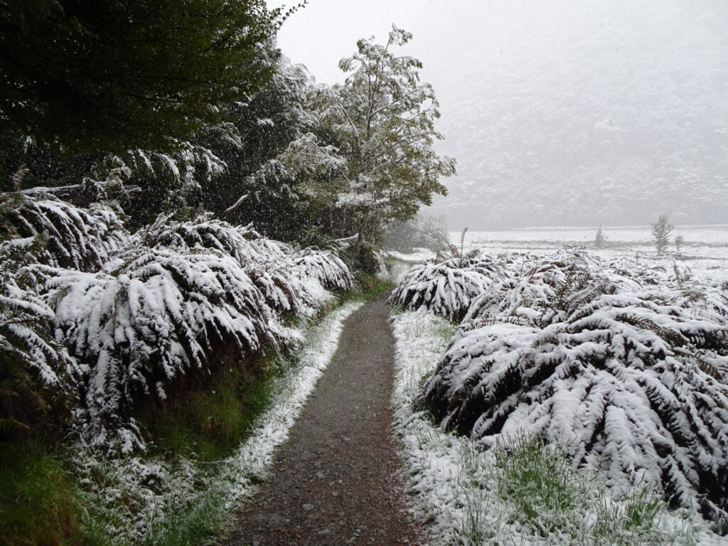

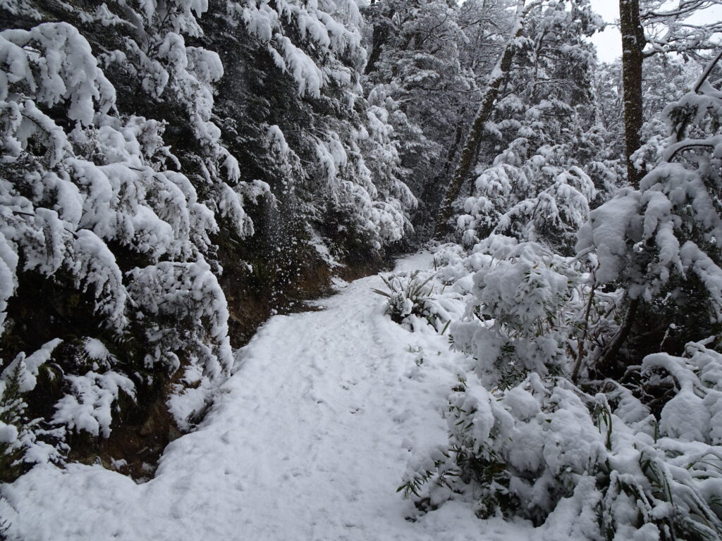
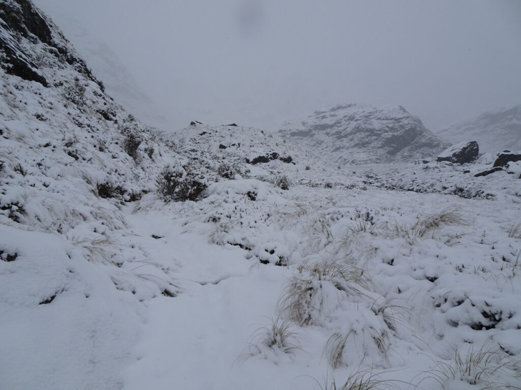
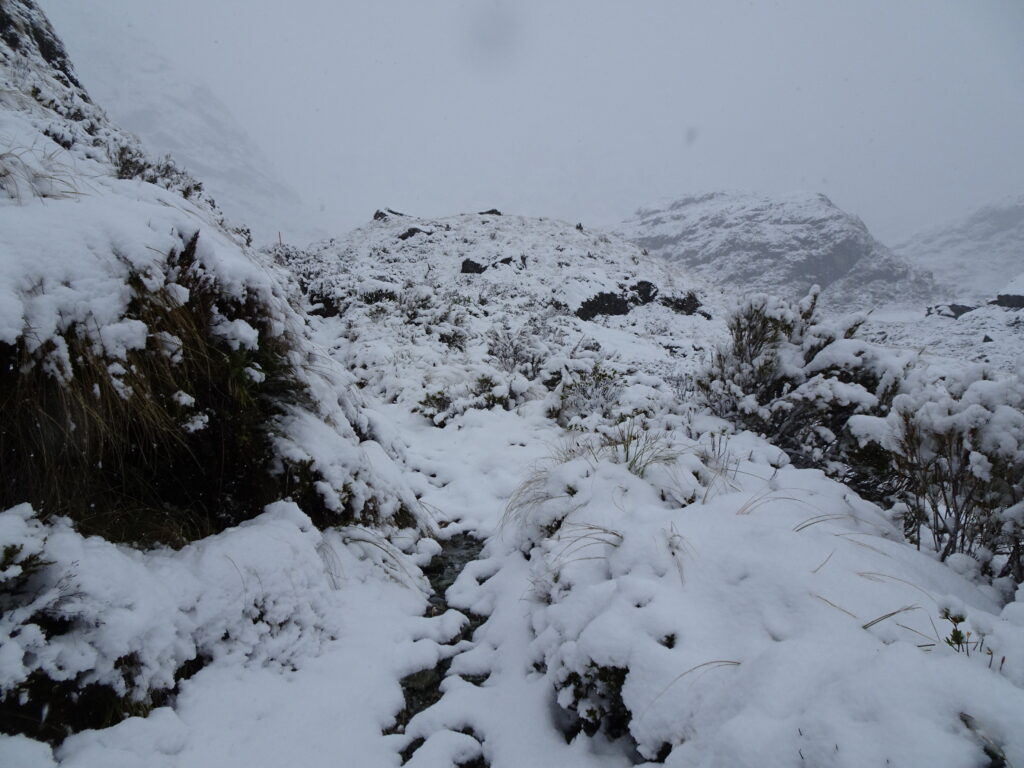
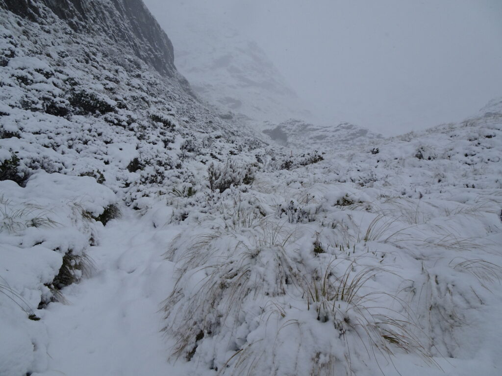
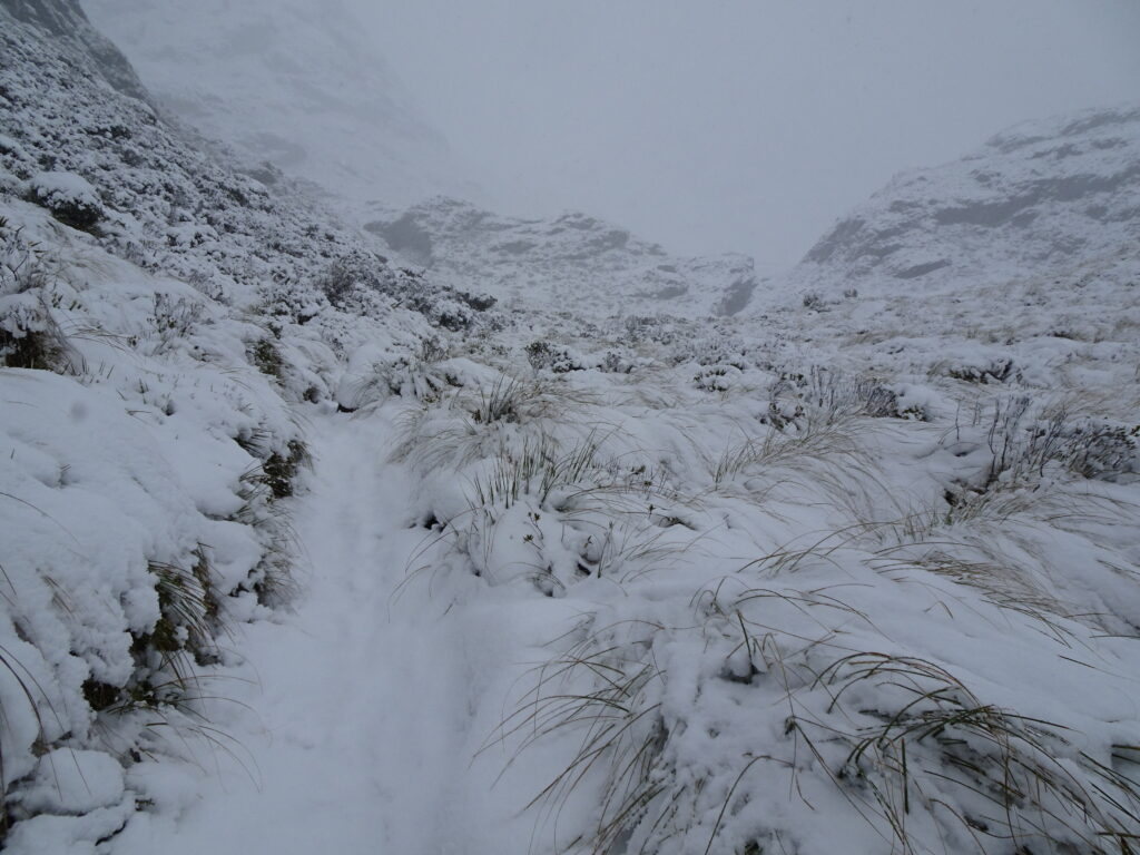
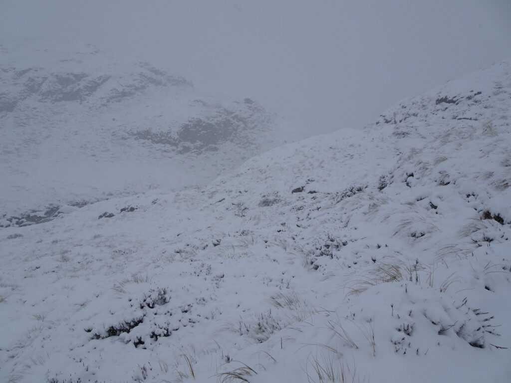
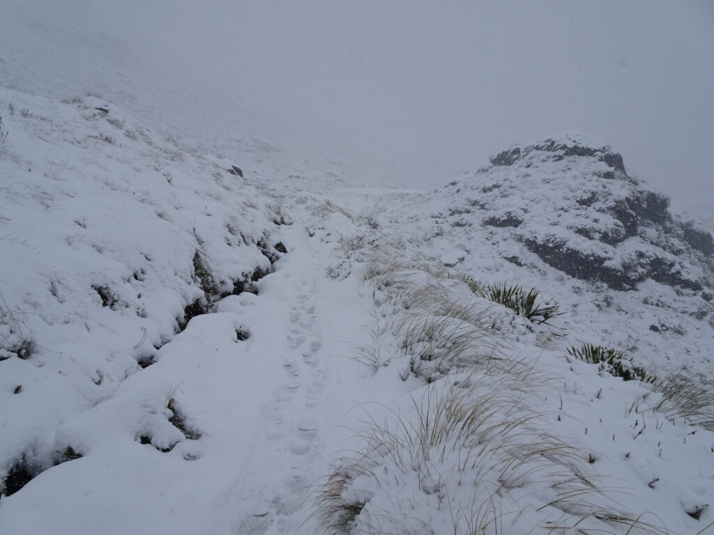
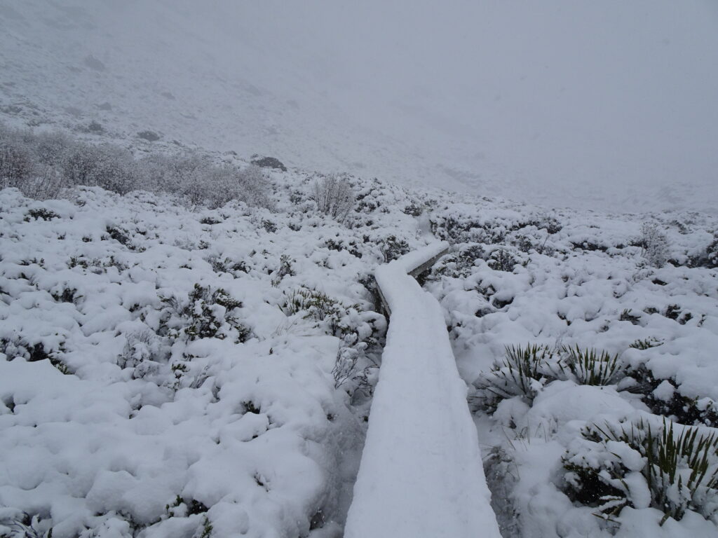
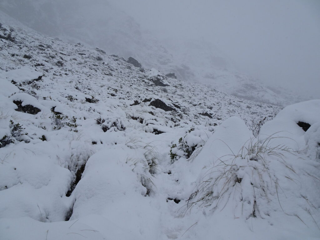
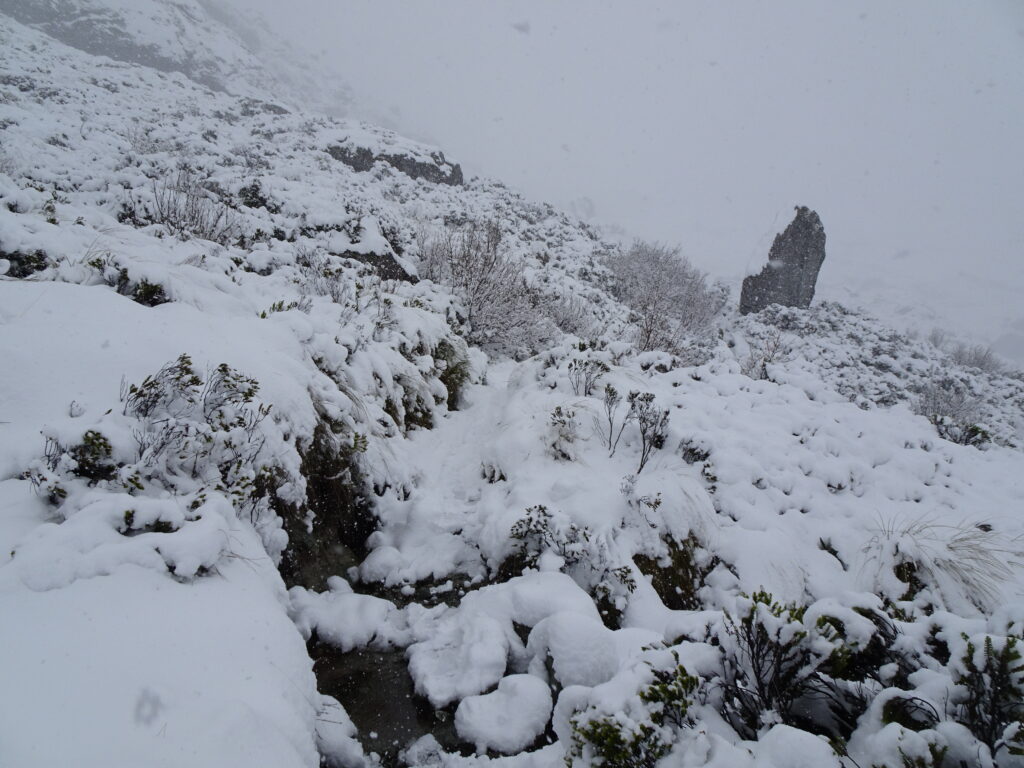
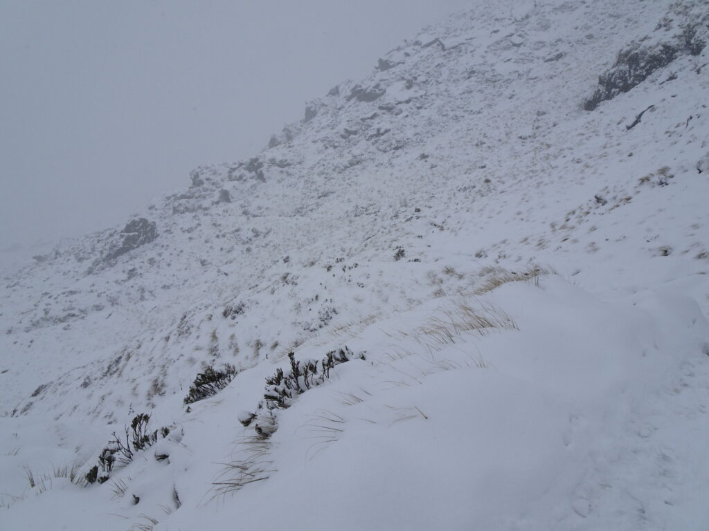
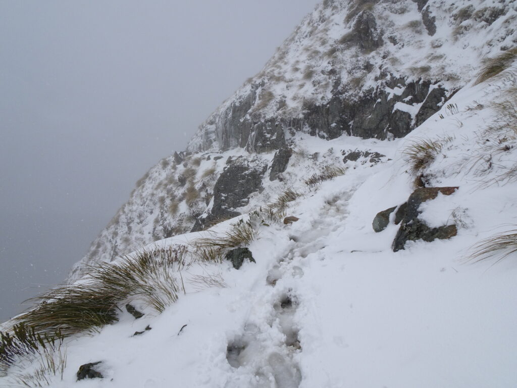
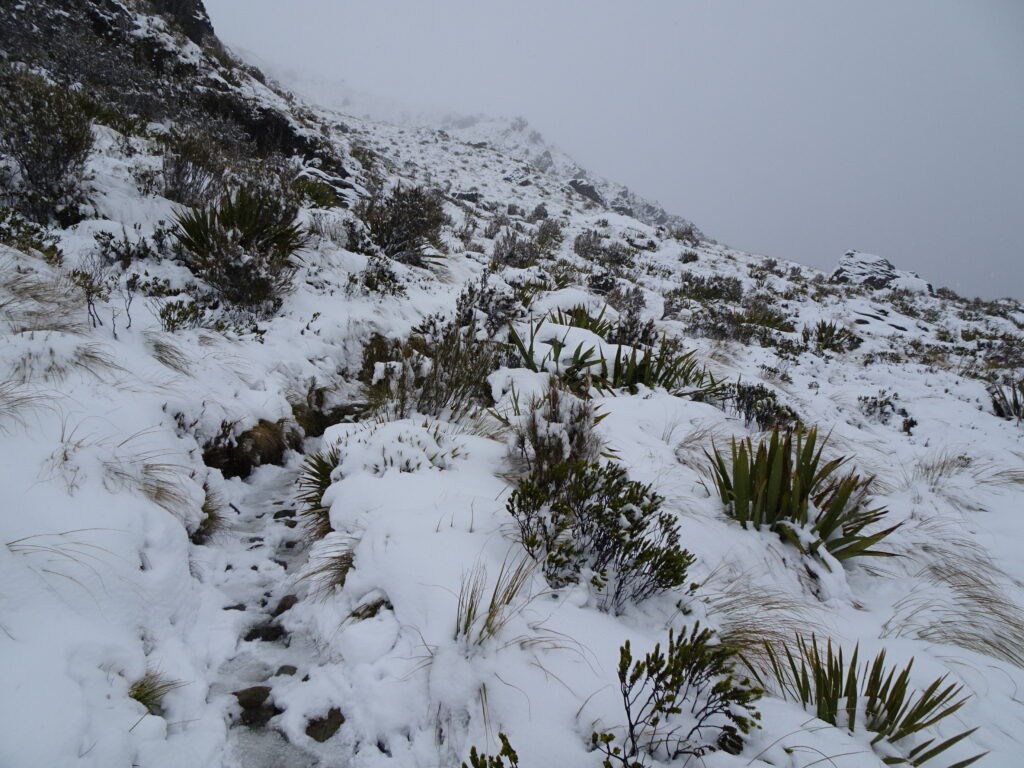
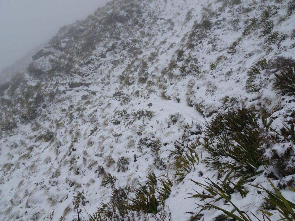
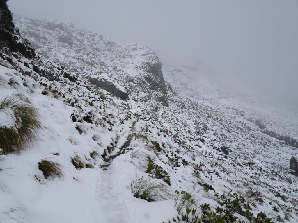
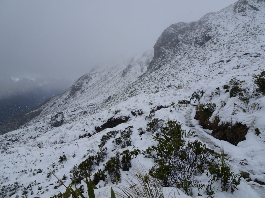
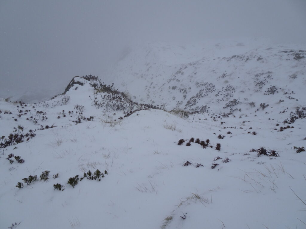
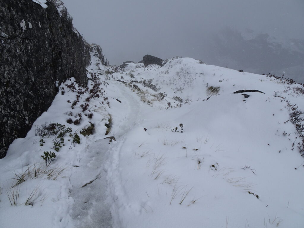
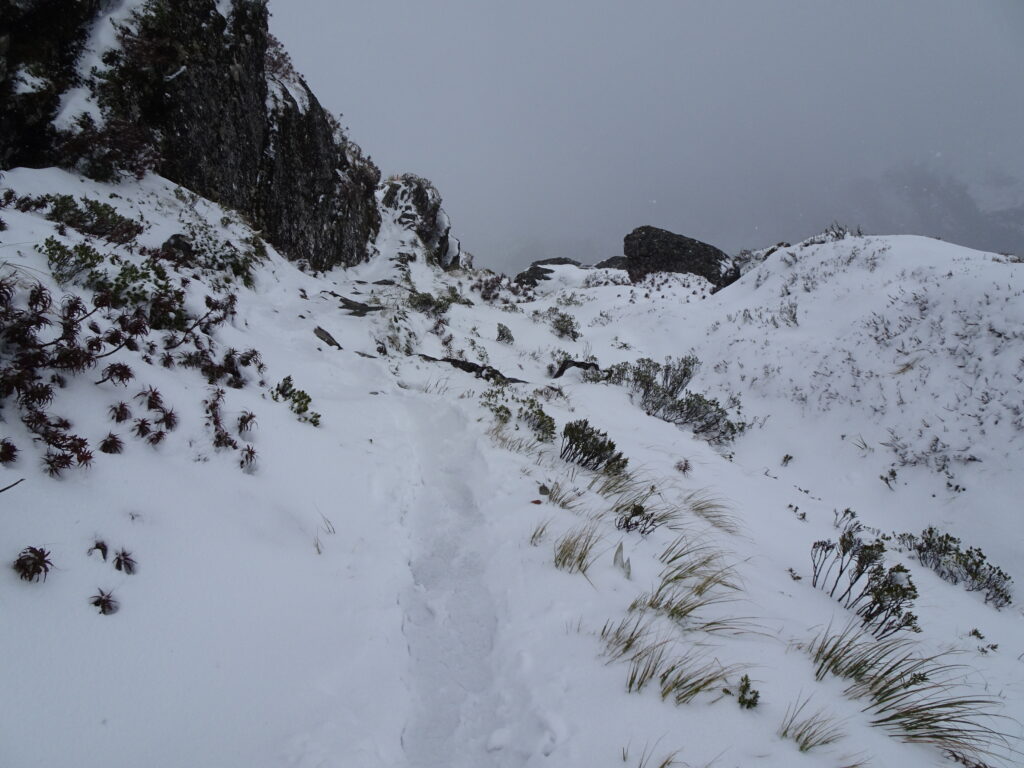
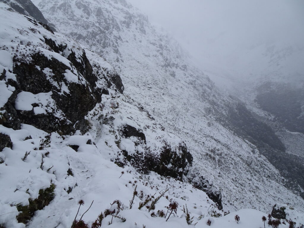
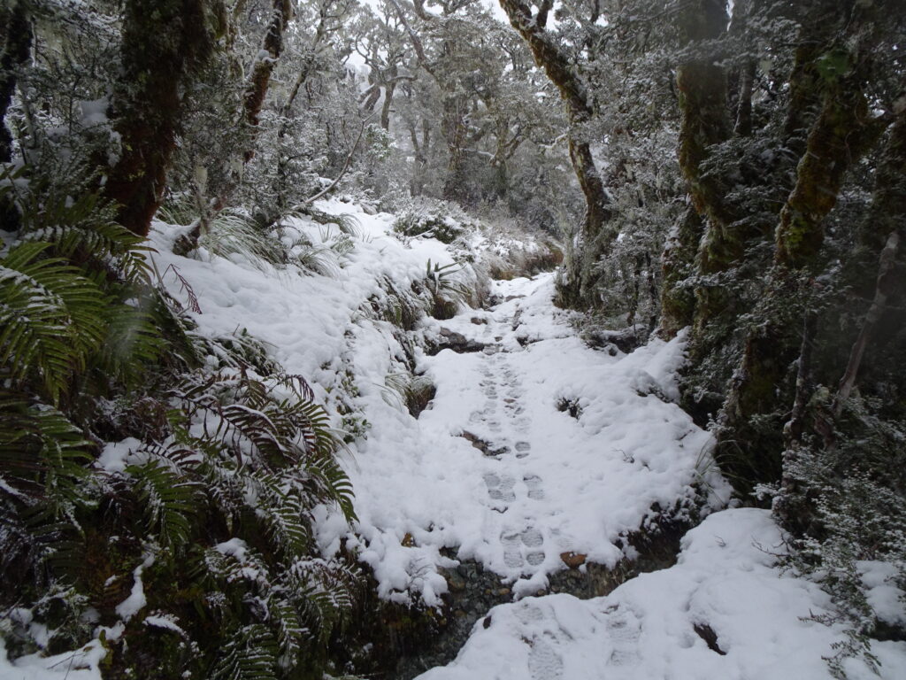
But soon the snowfall became heavier.
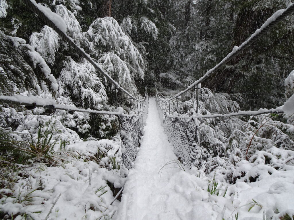

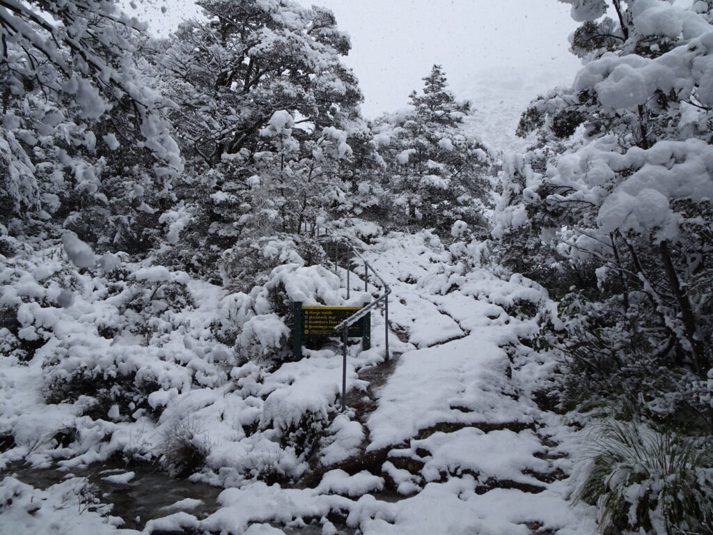
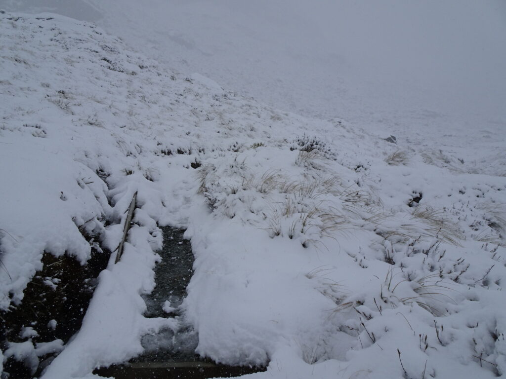
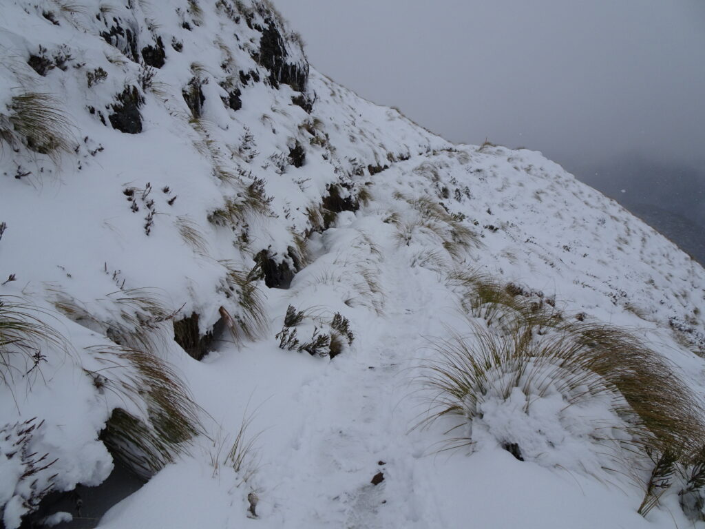
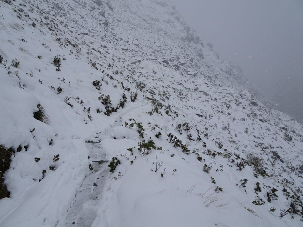
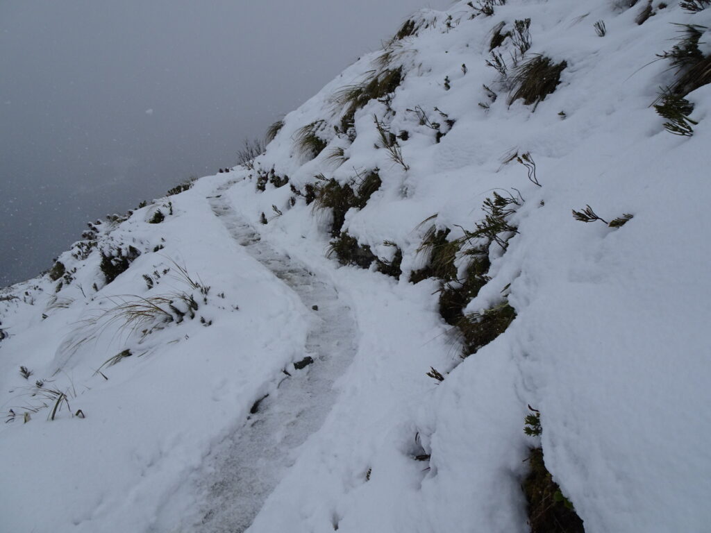
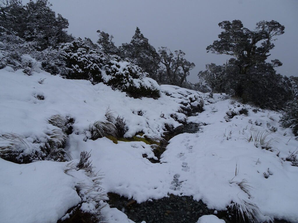
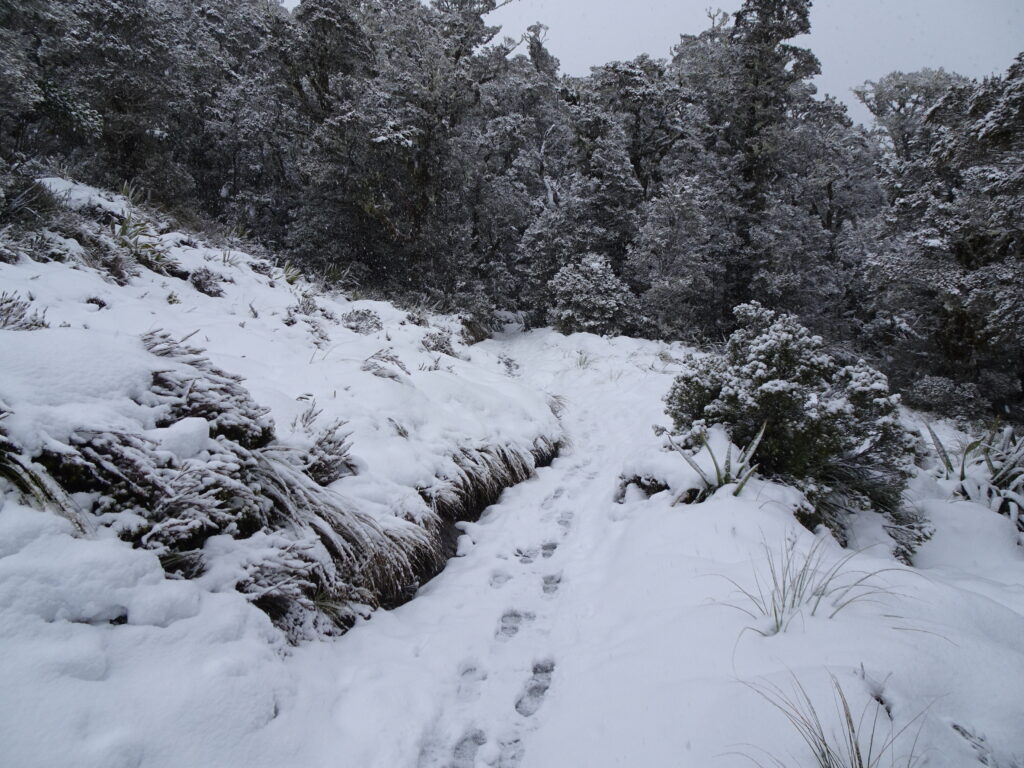
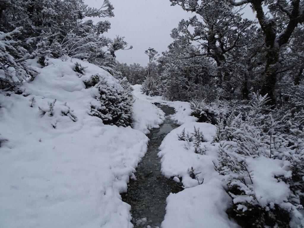
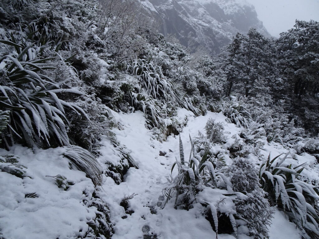
The trail was completely covered by snow.
We stopped at Routeburn Falls Hut for a few minutes and decided to keep going.
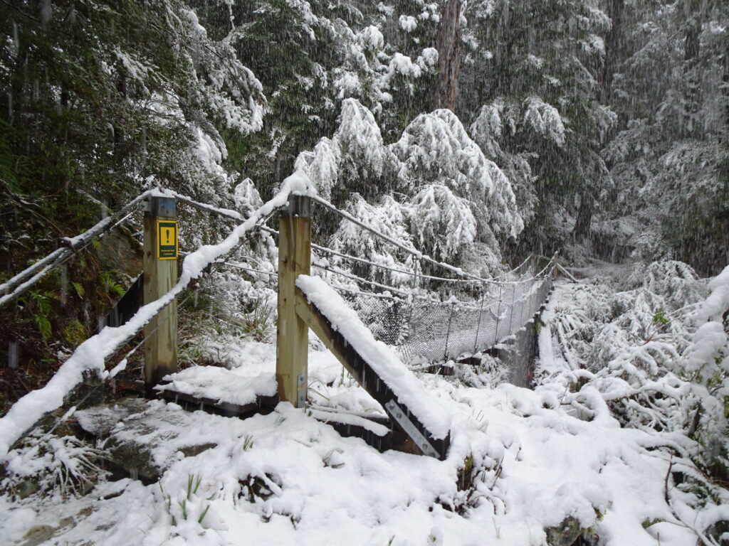
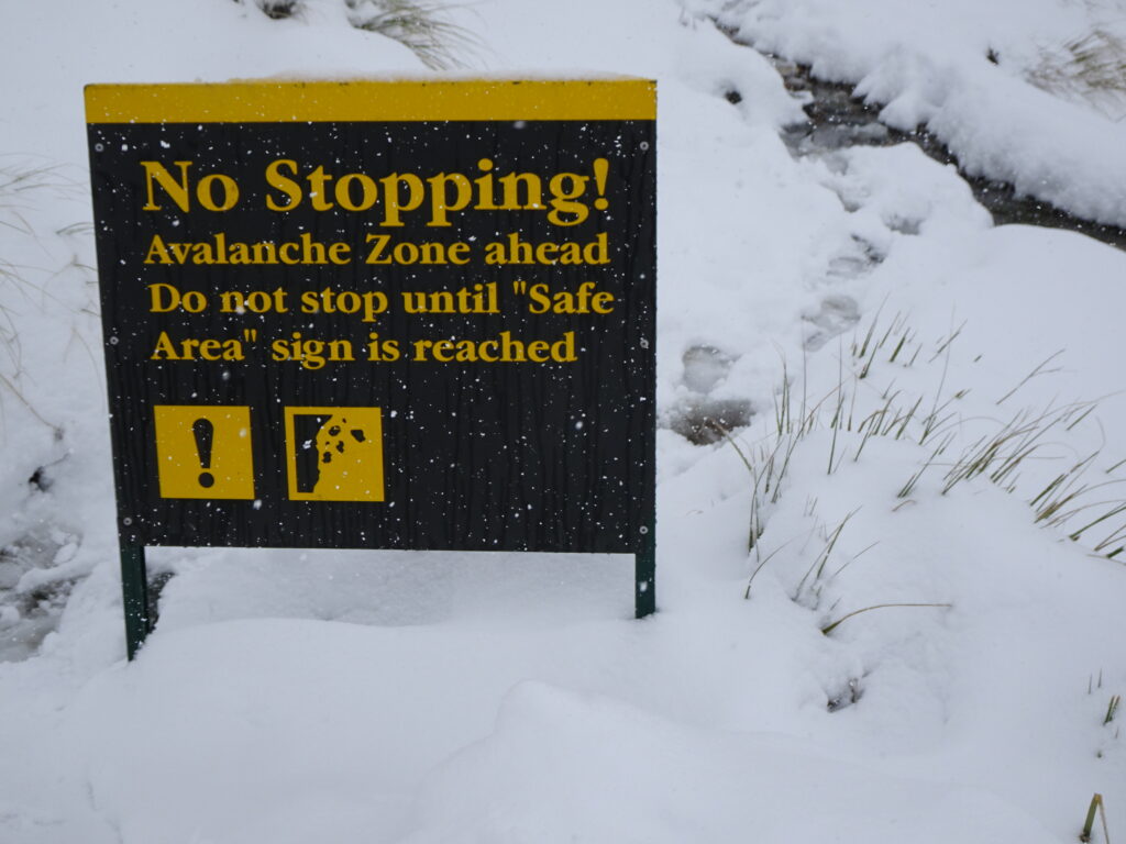
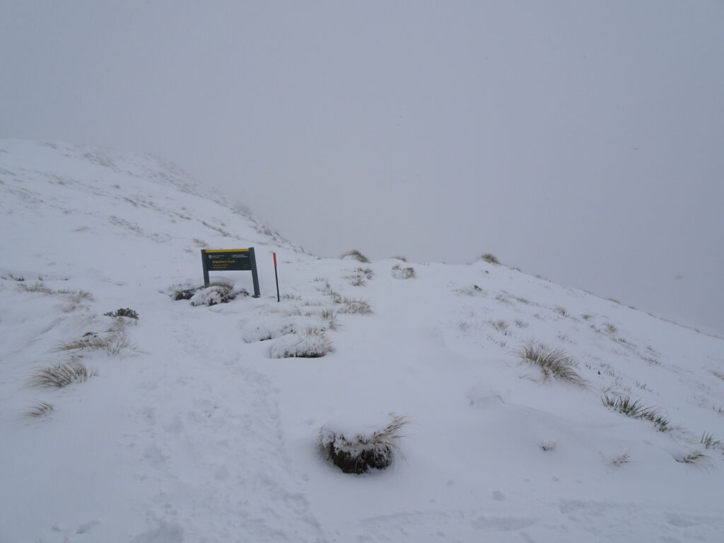
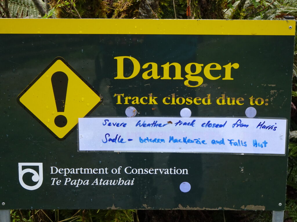
Soon we saw a warning sign.
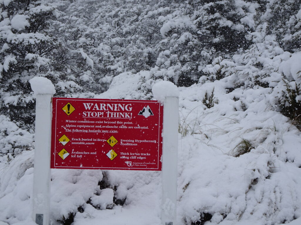
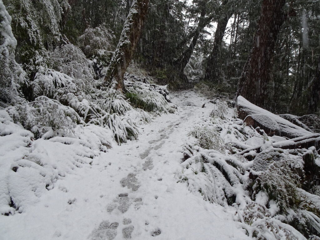
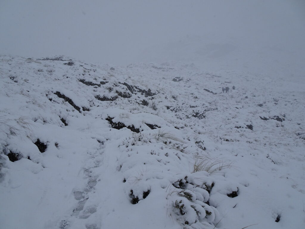
Since the snow was unexpected, we didn’t have any snow gear with us. But at this point, we had no choice but to keep going.

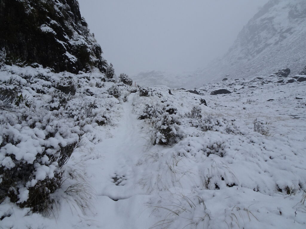
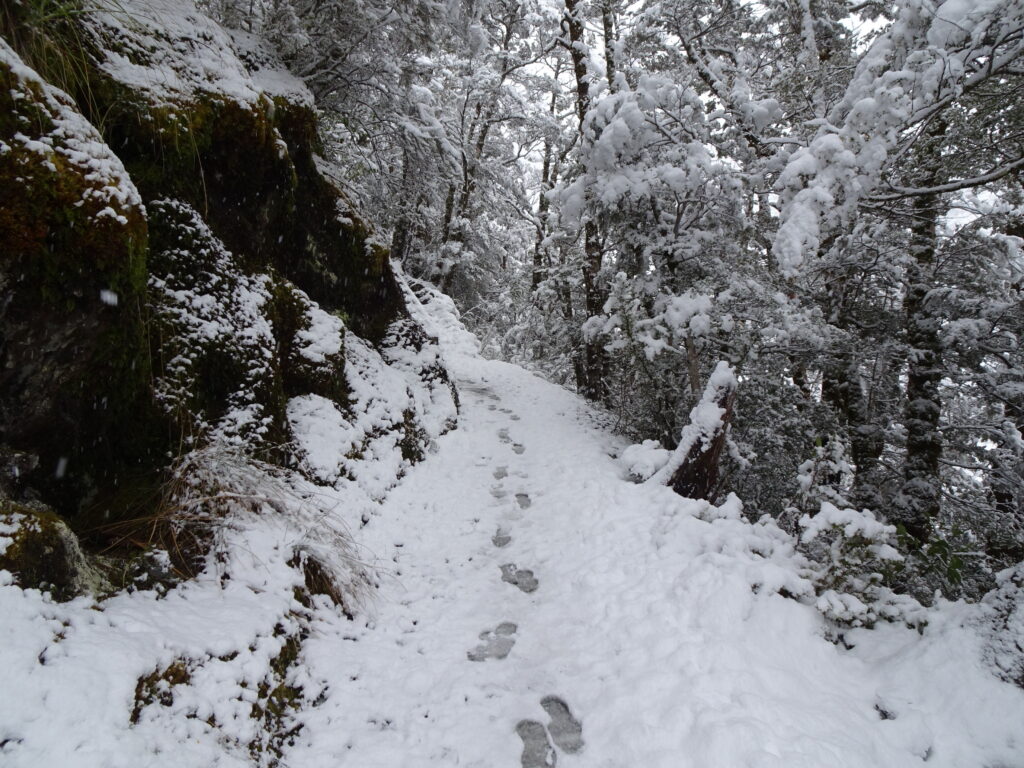
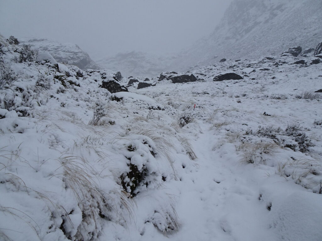
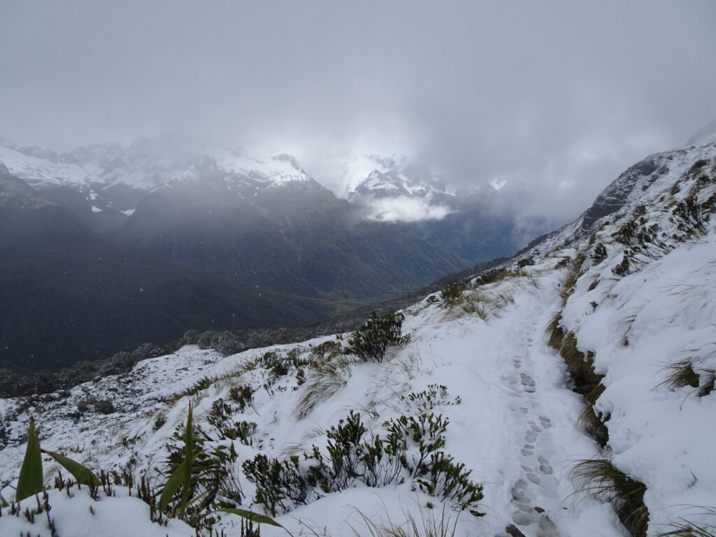
We could hardly see the trail now. Thankfully I had downloaded an offline trail map and sometimes the footprints left by others helped too.
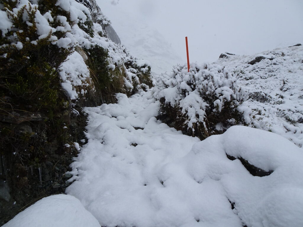

Another warning sign.
We hiked on.
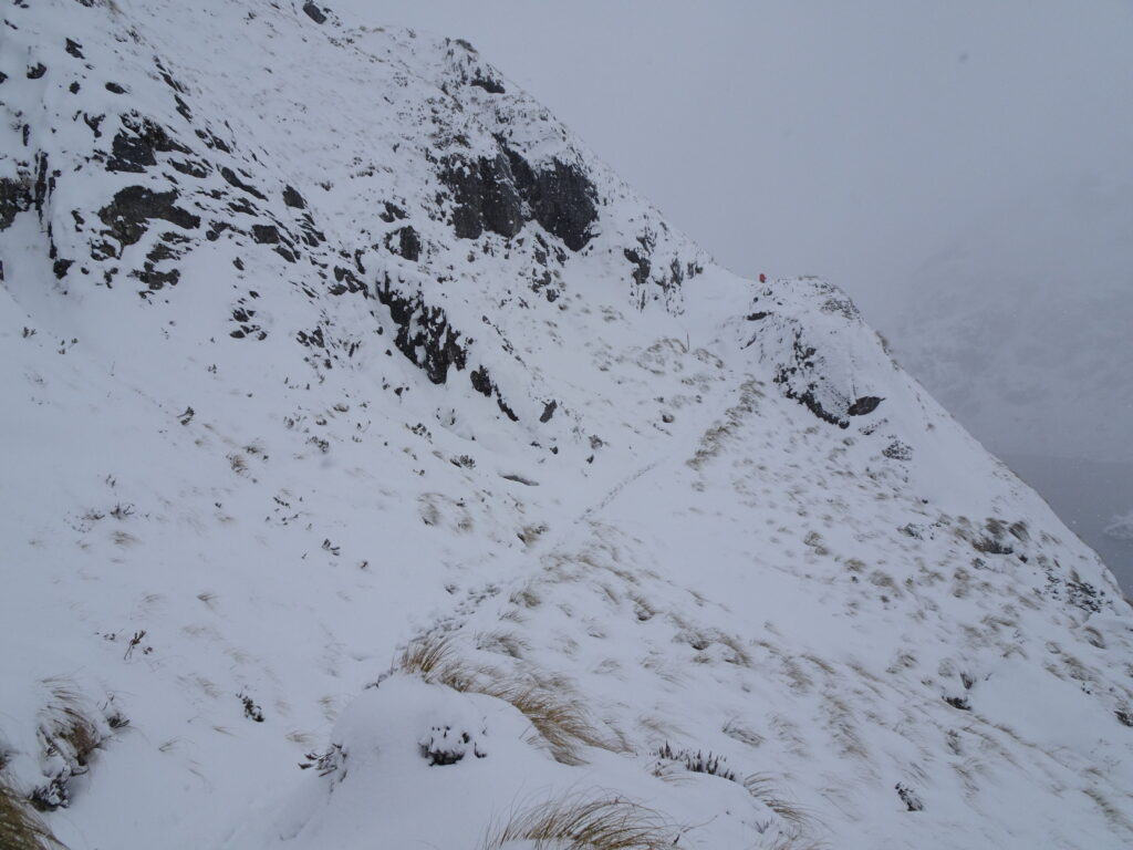
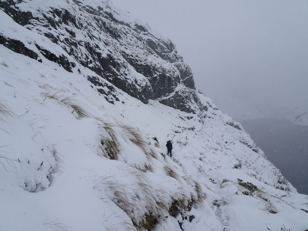
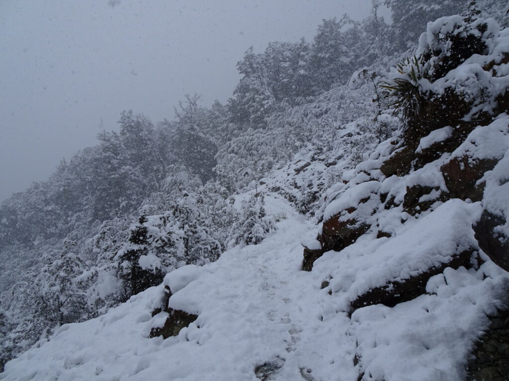
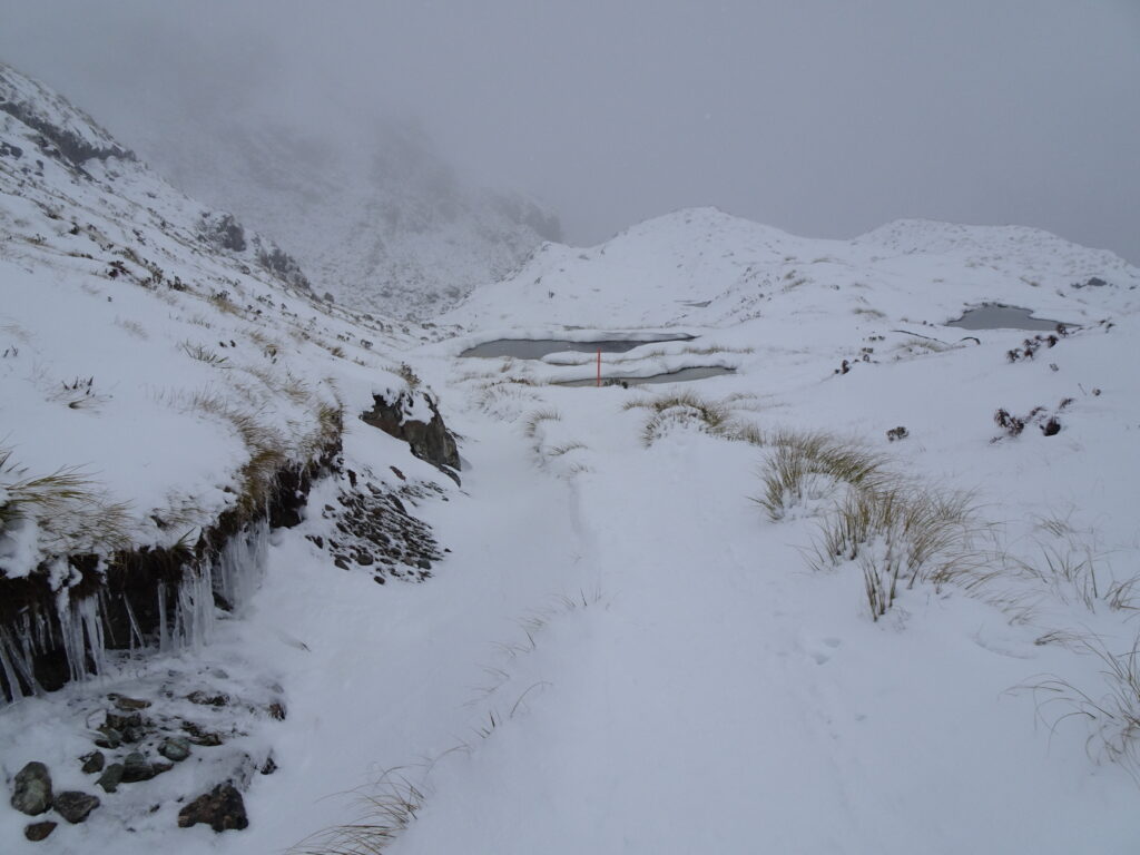
It was very windy as we reached Harris Saddle which was the highest point on this trail. We were told the wind chill there was around -8°C (17.6°F). We took a short break at the little shelter there. But knowing we still had a long way to go, we didn’t stay for long.

Trail was so slippery we kept falling 😂
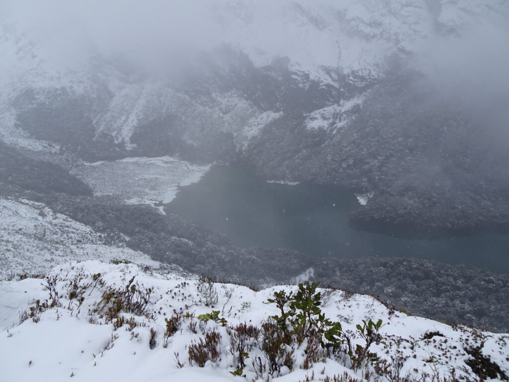
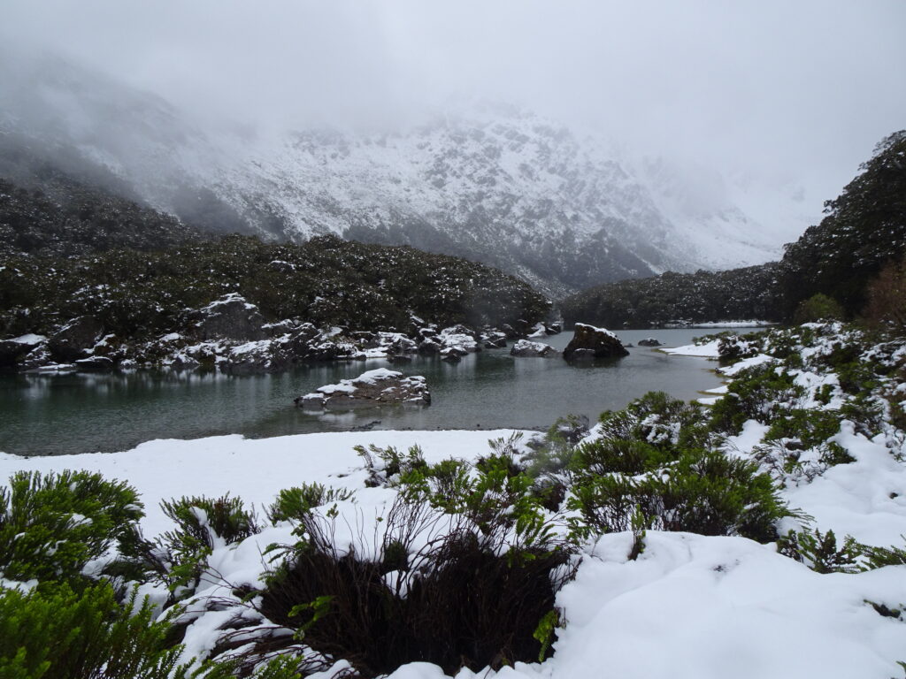
Finally Lake Mackenzie came into view.
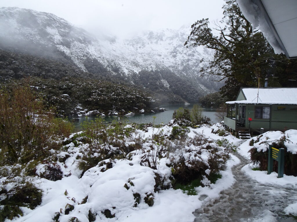
We stayed at Lake Mackenzie Hut for the night. There was no light, no electricity, no heater, no wifi, no anything.
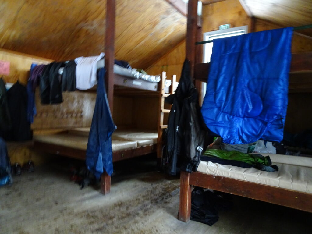
Seemed like everyone was soaked 😄

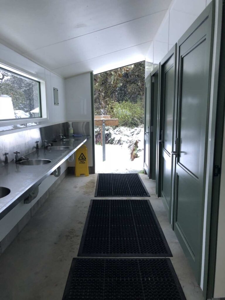
The shared bathroom had doors on opposite sides and they were both wide open. It was freezing and the wind was blowing. Water was also freezing. I managed to brush my teeth but didn’t want to wash my face because it was just too cold 😂
Day 2 (11/20/2018): Lake Mackenzie –> Lake Howden –> The Divide (12 km)
Our shuttle was supposed to pick us up at 1:30pm. So we headed out early to make sure we had enough time to make it to the trailhead on time.
Fortunately, snow cleared as we approached Lake Howden.
There was a sign at Lake Howden that said the trail we hiked yesterday was closed.

We made it to the bus stop in time. But our shuttle was late.
Looking back. I think it wasn’t really a good idea for us to have done what we did. We were not prepared for the weather and didn’t have the right gear for it. Having no experience hiking in snow, it was very dangerous for us. But I’m glad we did it and came back safely.
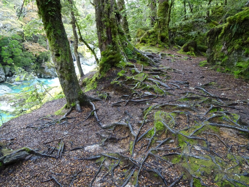
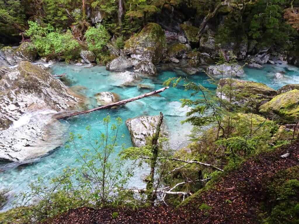
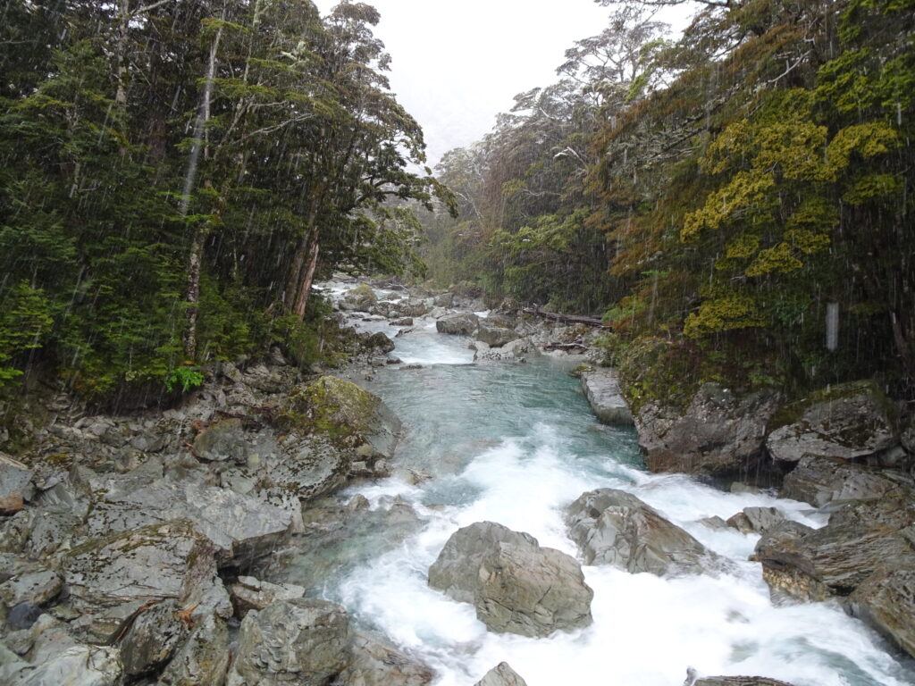
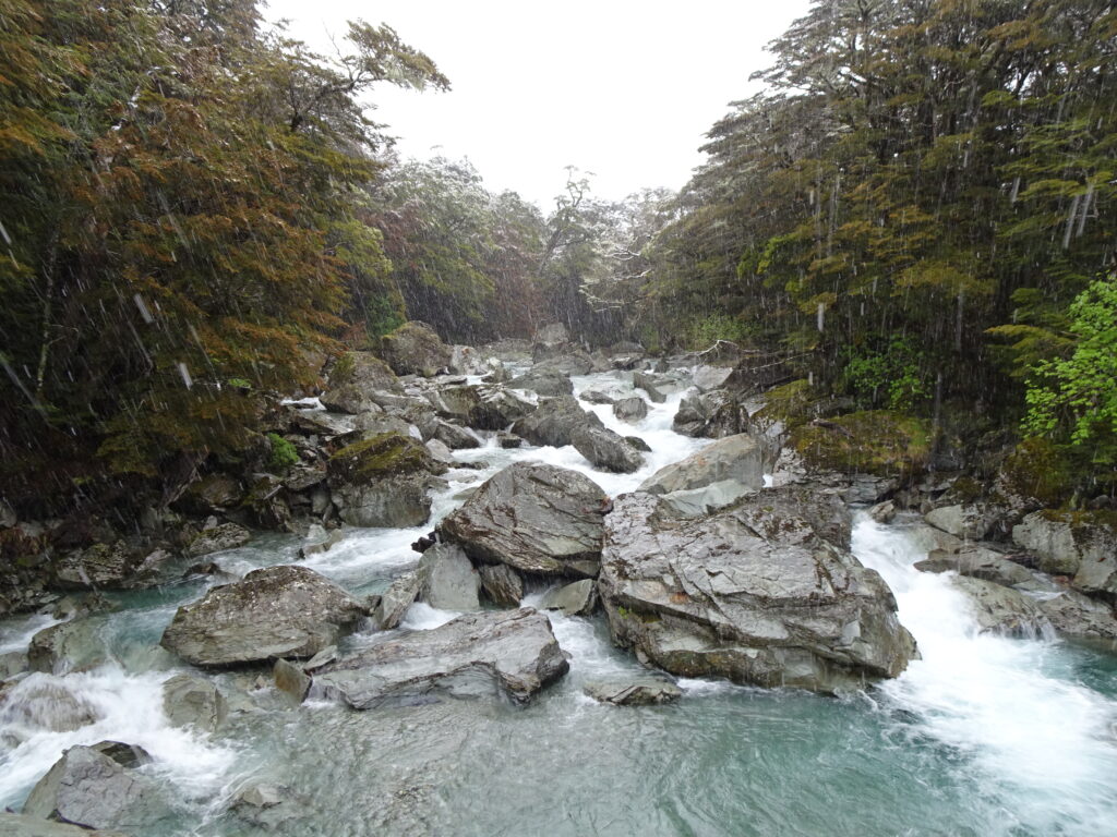
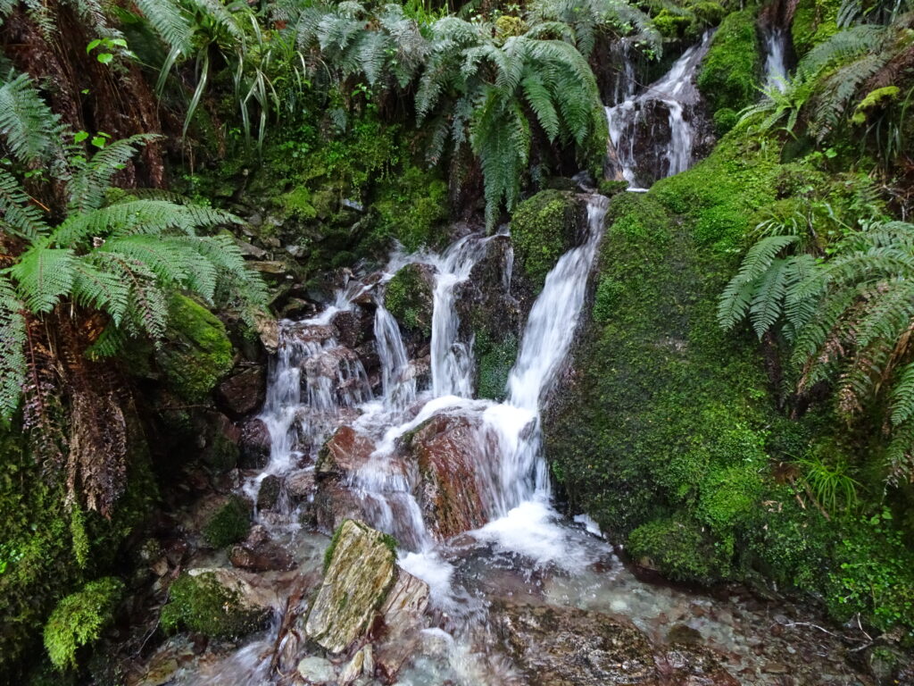
This track is famous for its scenery. But we did not see anything because it was all covered in snow. Nevertheless, it was still a great memorable experience for me.
My Route:
Comments (2)