
Length: 4.6 miles
Elev gain: 433 feet
Time: 1:46:28
The hike:
https://www.alltrails.com/explore/recording/point-lobos-loop-c4d2ce3
I decided to embark on a weekend trip to Monterey almost on a whim. Having recently checked out a free state park pass from the library, I wanted to take advantage of it and explore Point Lobos State Natural Reserve through a hike. Opting for the Point Lobos Loop, which seemed to showcase the reserve’s scenic highlights, seemed like the best choice for me.
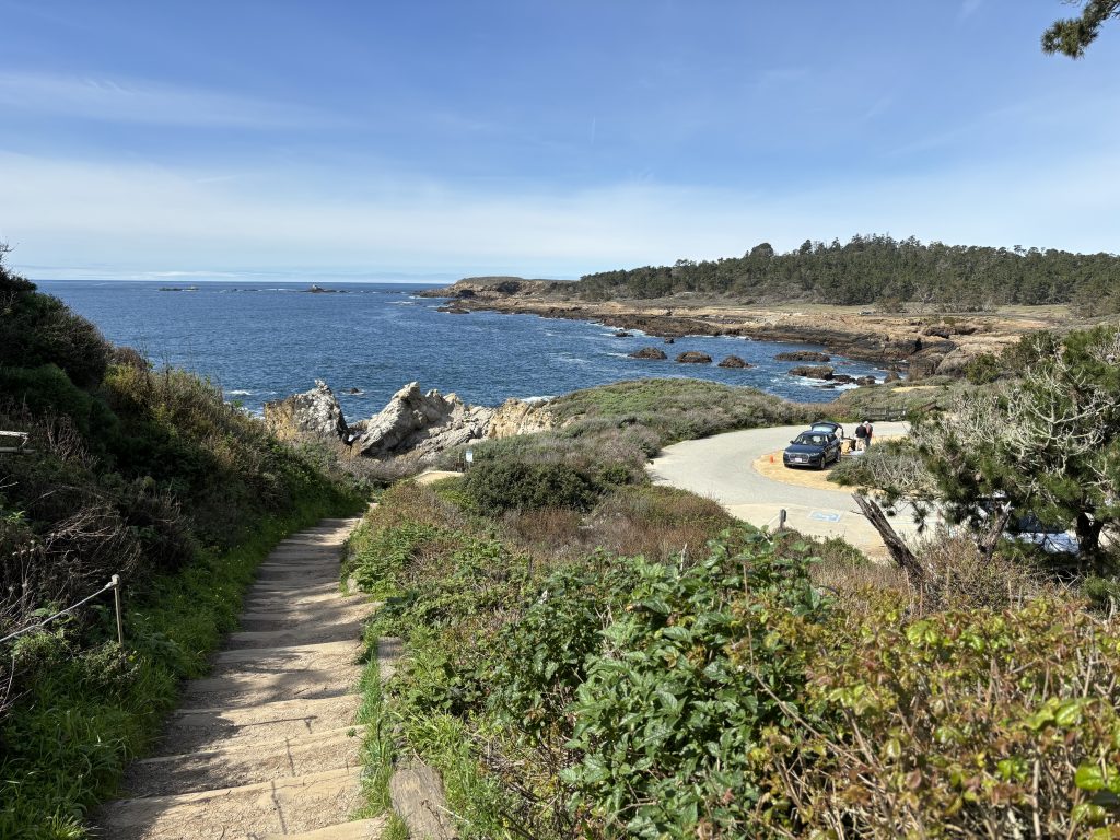
Upon arrival, we parked at the Sea Lion Point parking lot, conveniently situated at the beginning of the Sea Lion Point Trail, a segment of the loop that leads to Sea Lion Cove.
Sea Lion Point Trail becomes Sand Hill Trail, which then continues along Sand Hill Cove.
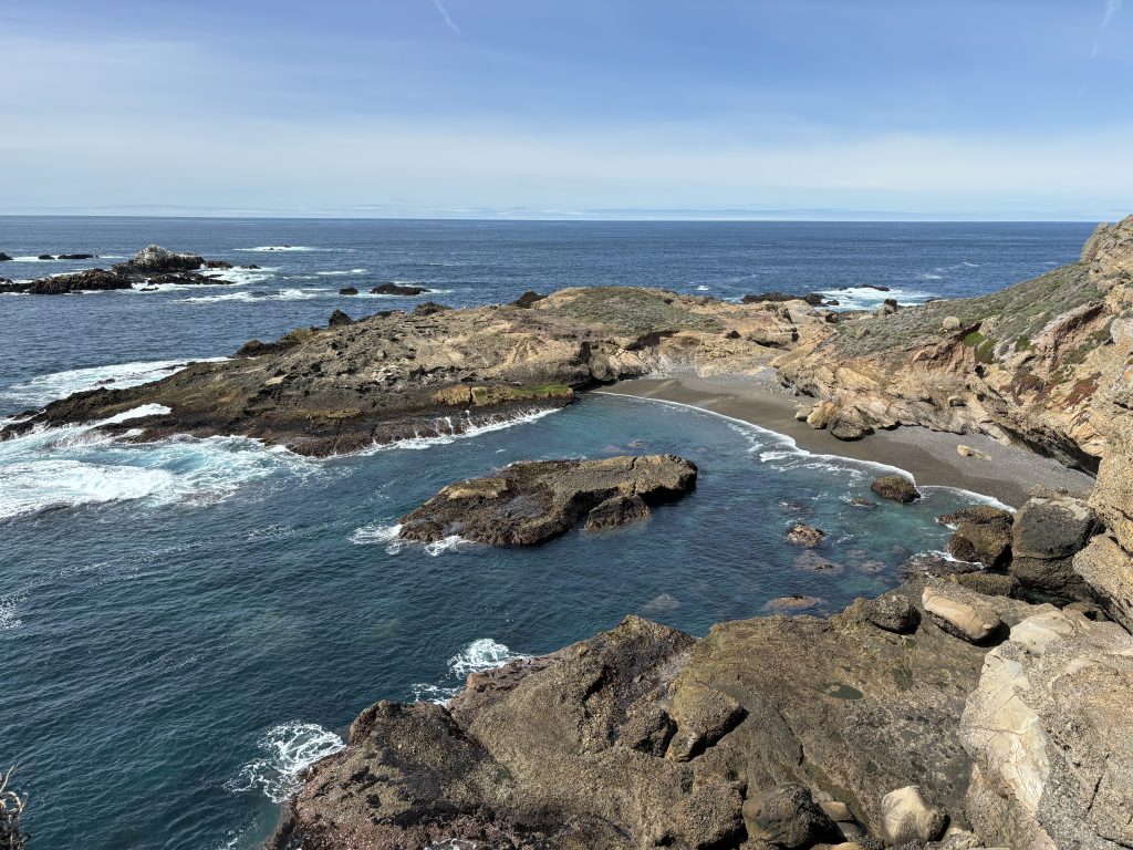
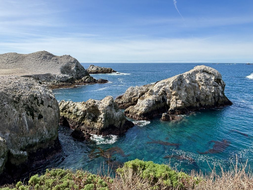
We then veered onto the South Shore Trail, tracing its path counterclockwise. After passing Weston Beach, we encountered an unnamed cove.
We continued our hike towards Bird Island Trail from its parking lot.
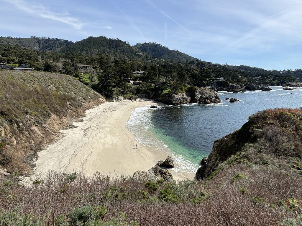
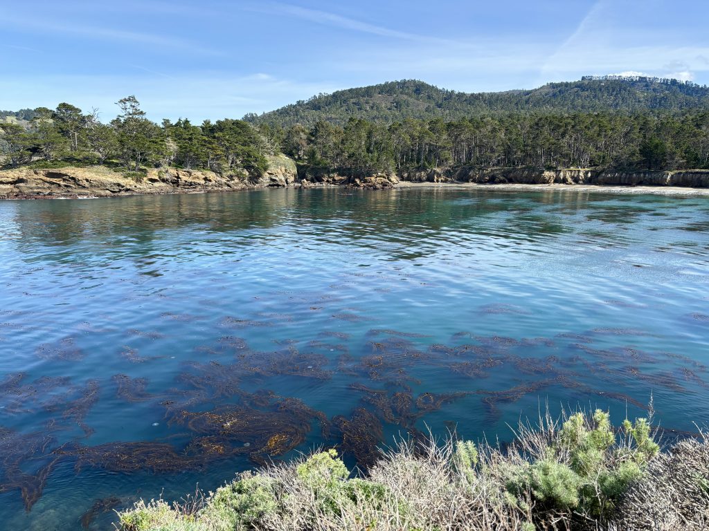
Soon we were greeted by the tranquil beauty of China Cove and its serene waters.
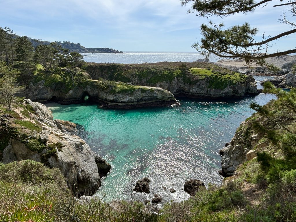
Following onto the Bird Island Trail, we traced the shoreline of China Cove.
Bird Island Trail is a very short loop trail. Since it lacked any notable bird sightings while we were there, we briefly stopped before swiftly moving on, passing by Gibson Beach.
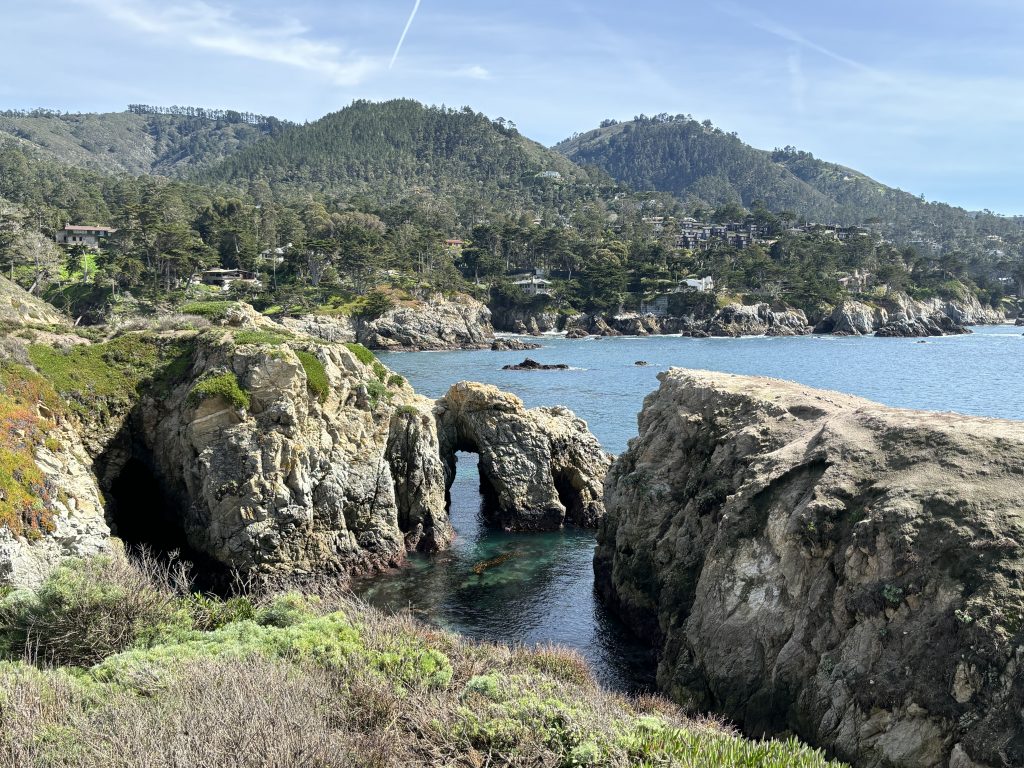
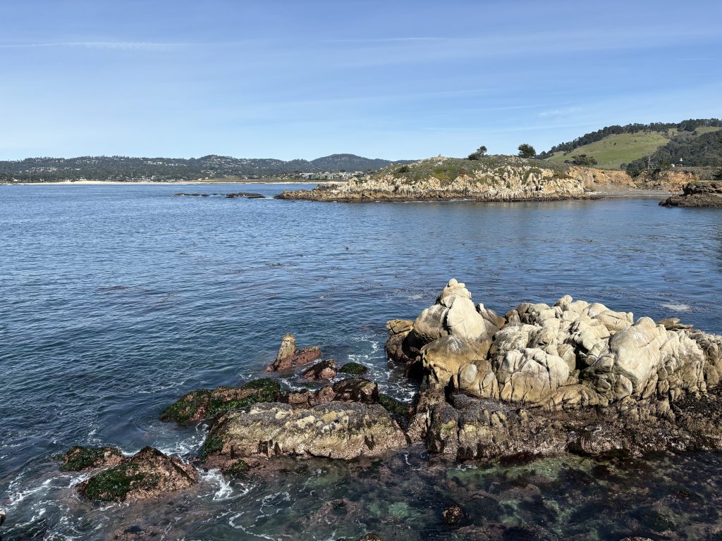
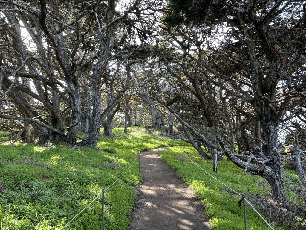
Our hike continued along the South Plateau Trail, then the Lace Lichen Trail, eventually connecting to Pt. Lobos to complete the loop back to the North Shore Trail. For a stretch, the landscape seemed relatively unremarkable as we ventured inland. As the trail towards Coal Chute Point seemed to be closed (work was being done), we had to skip that segment and headed towards Cannery Point, which offered splendid views of Whalers Cove.
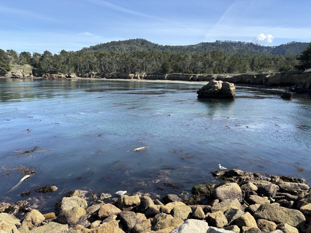
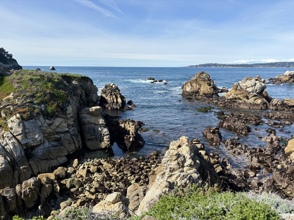
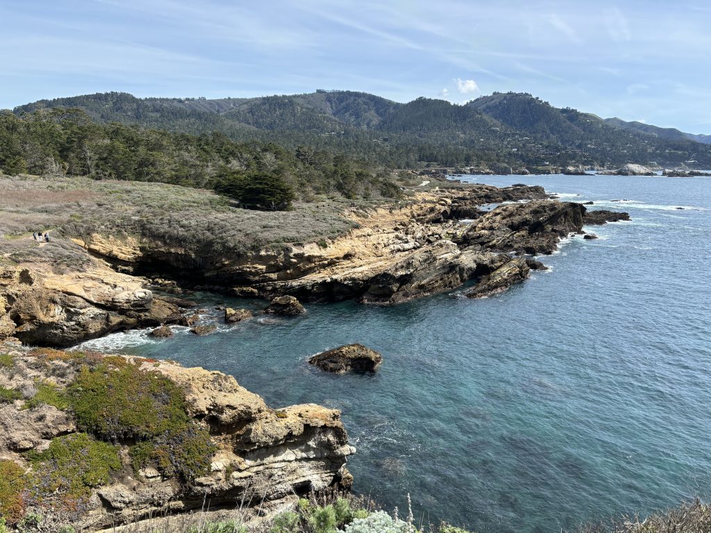
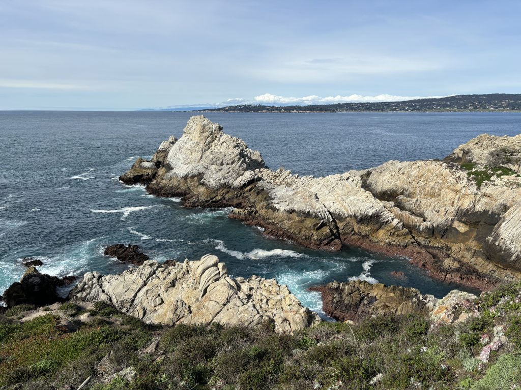
Moving onward, we encountered Bluefish Cove.
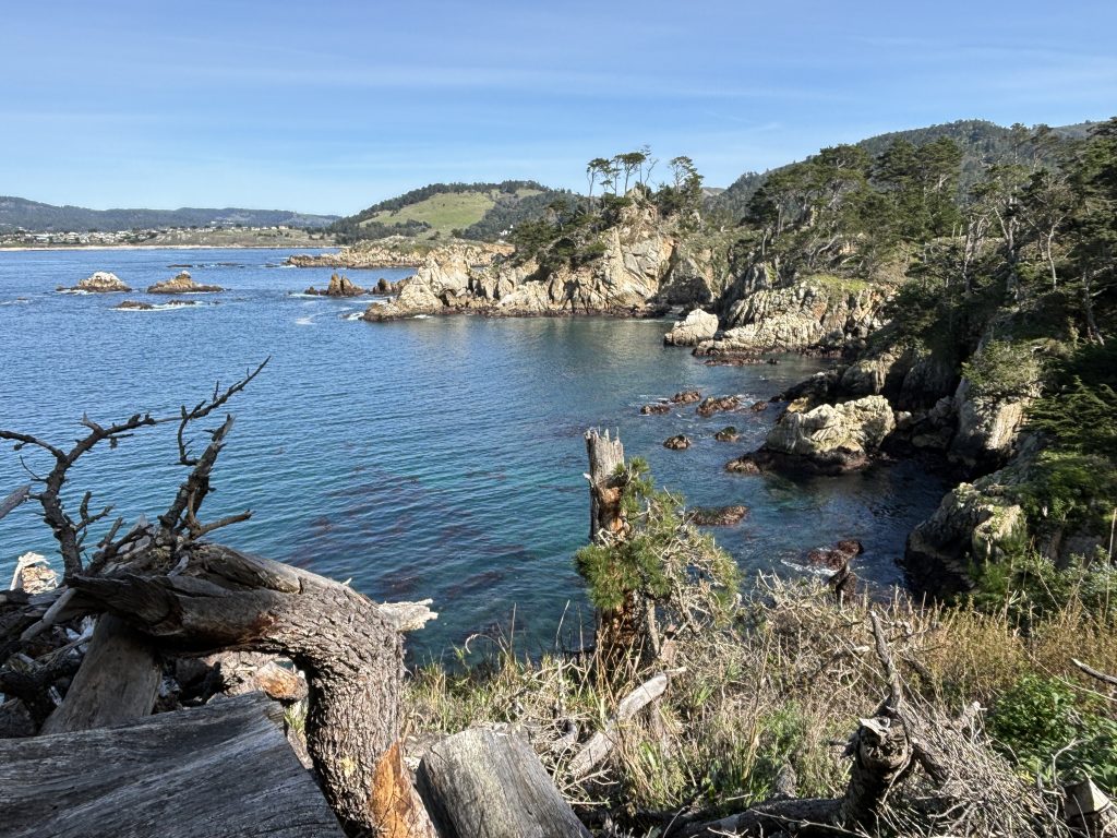
After that we were on our way to Big Dome.

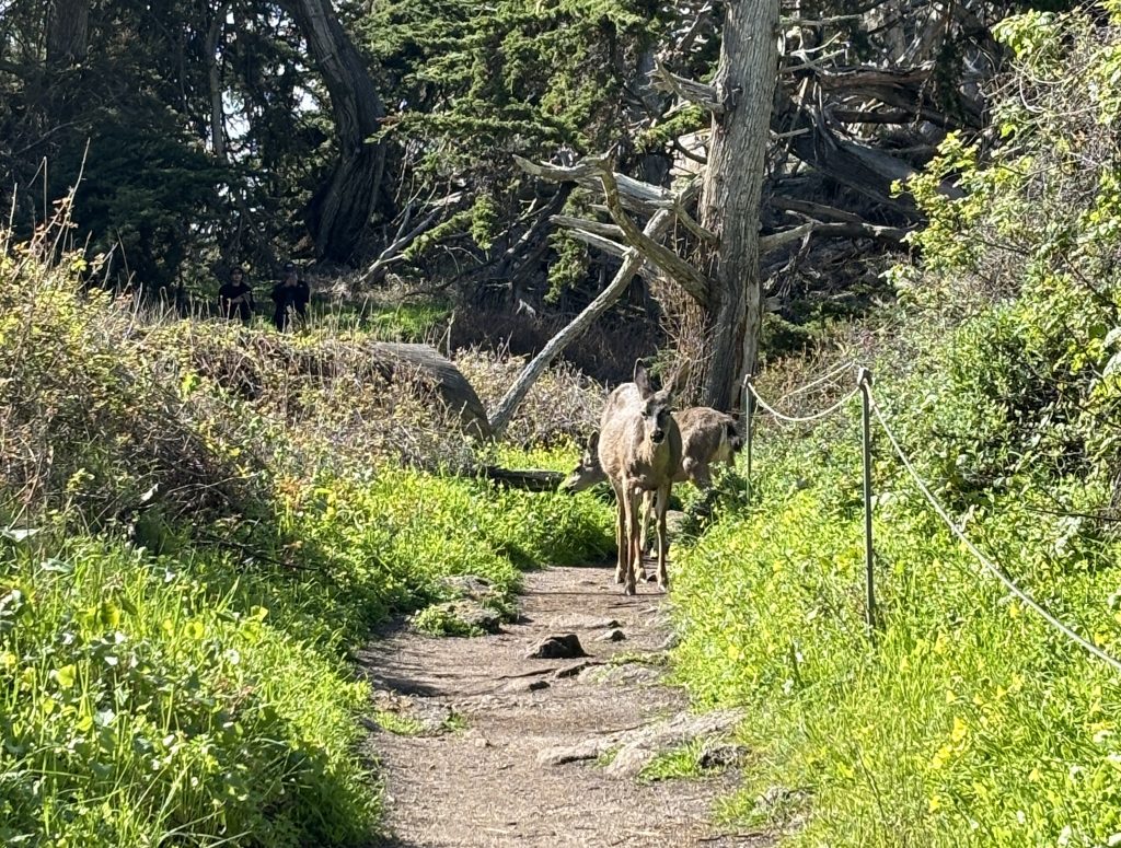
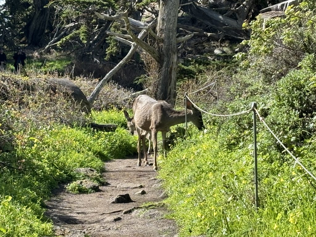
And we ran into a few deer.
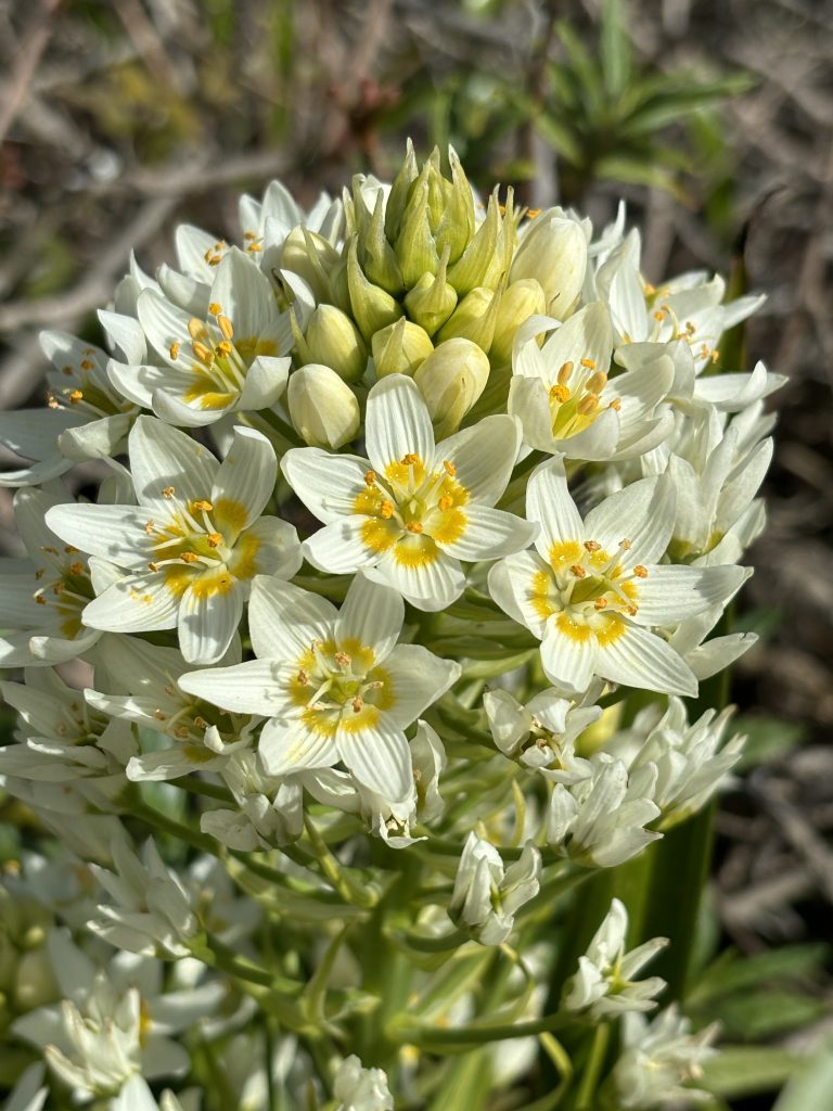
There were beautiful wildflowers along the trail too.
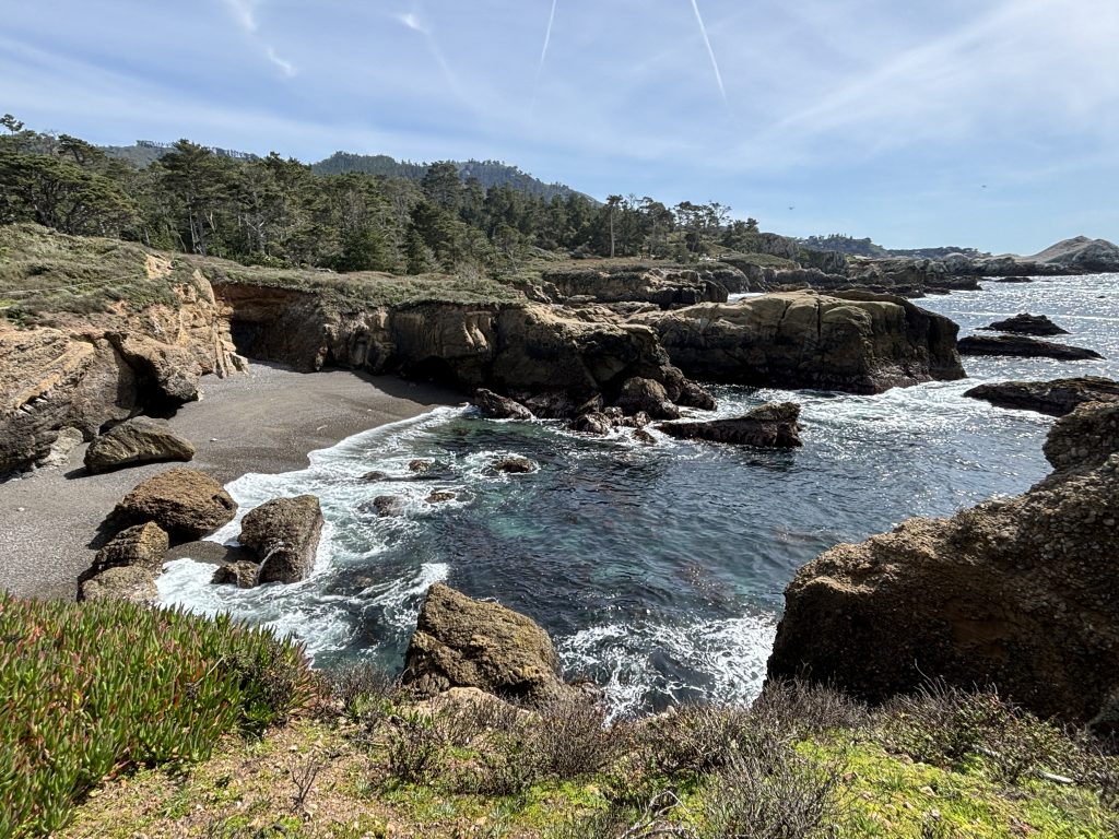
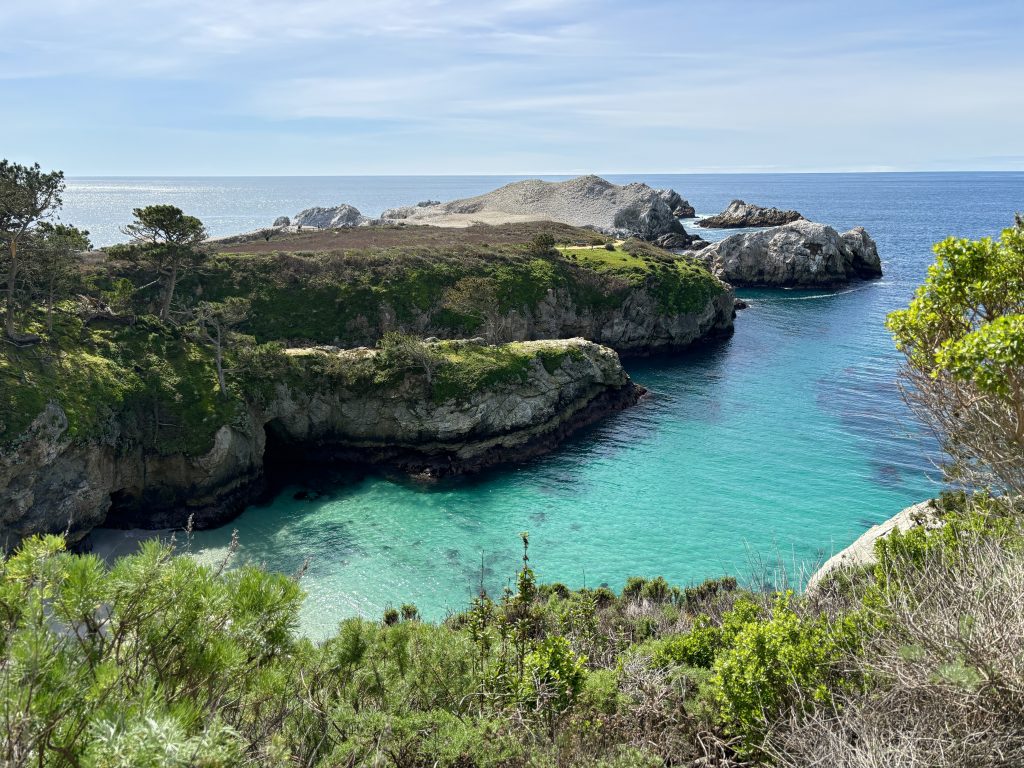
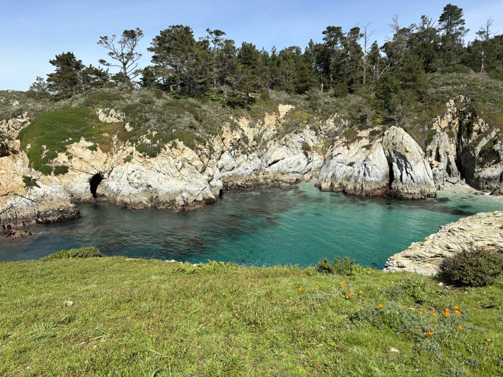
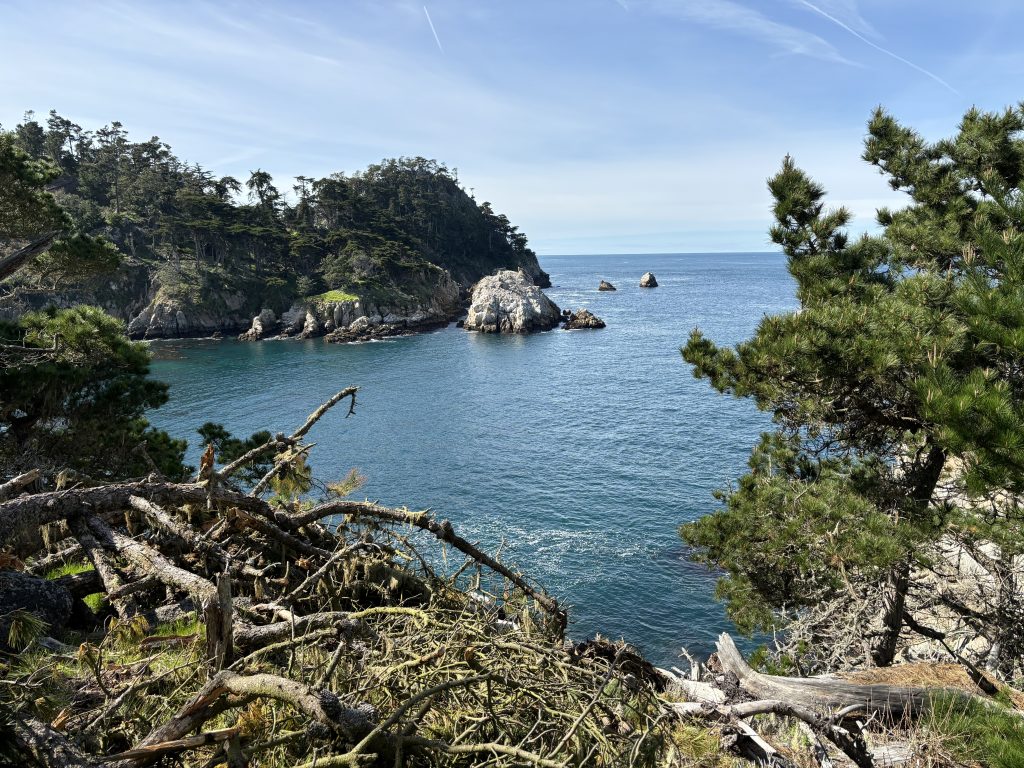
Cypress Cove came next.
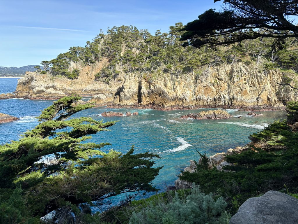
We then turned onto Cypress Cove Trail.
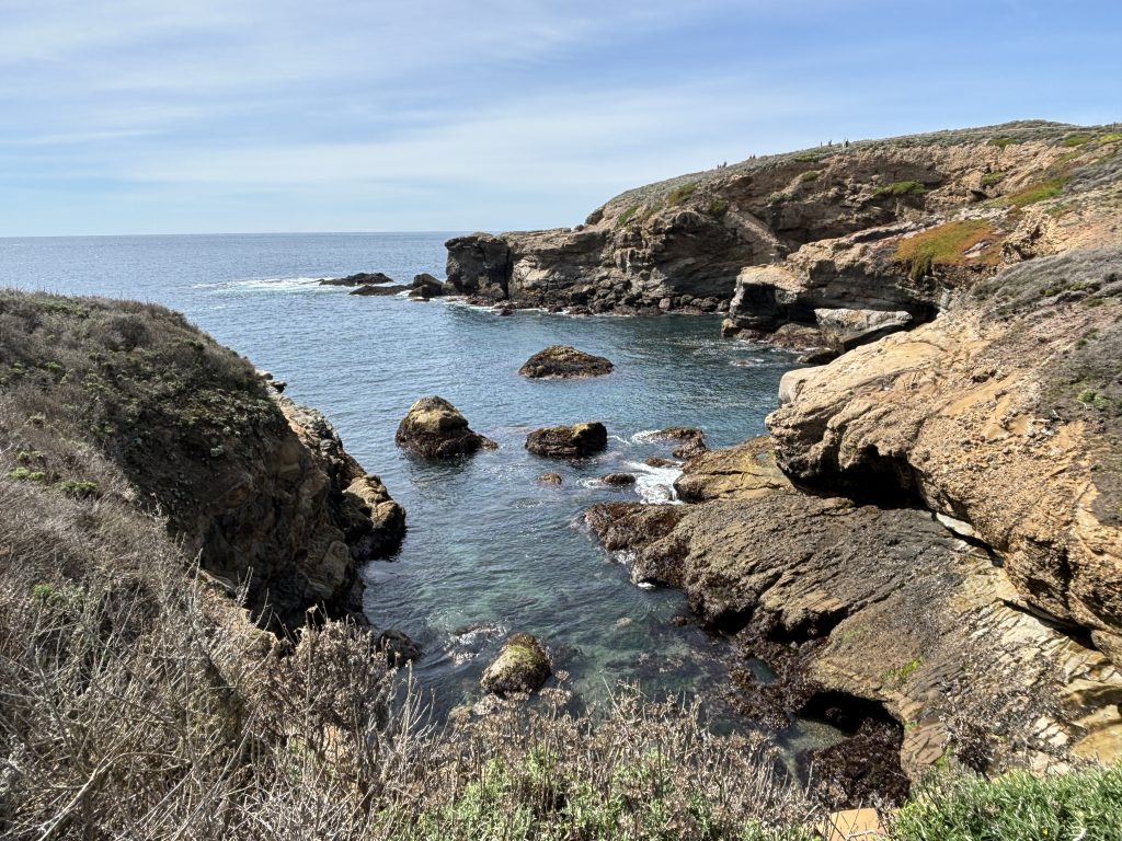
At the northern tip of the Cypress Grove Trail lies Pinnacle Cove.
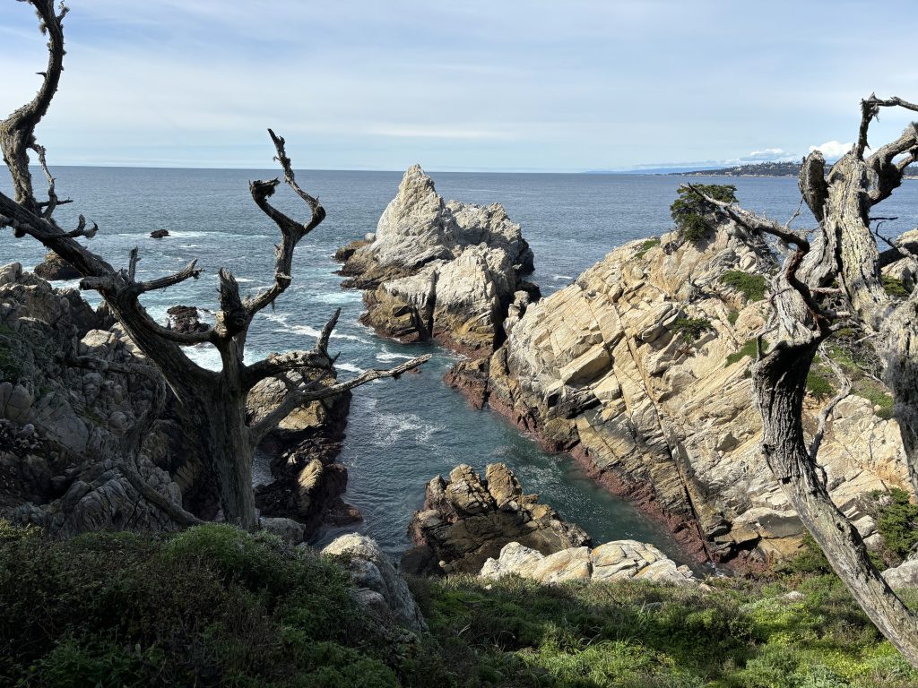
Our hike concluded where we had initially parked our car, marking the end of the loop at the termination of the Cypress Cove Trail. Despite encountering closed sections that shortened our hike to less than two hours, the journey proved to be exceptionally scenic and thoroughly enjoyable.