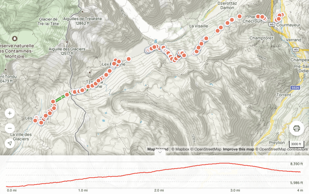
From: Les Monttets
To: Courmayeur
Length: 14.8 mi
Elev. gain: 3842 ft
The hike (Tracking app crashed so stats are not accurate):
Beautiful day today! I was eager to get going so I skipped breakfast at the refuge and left before everyone else.

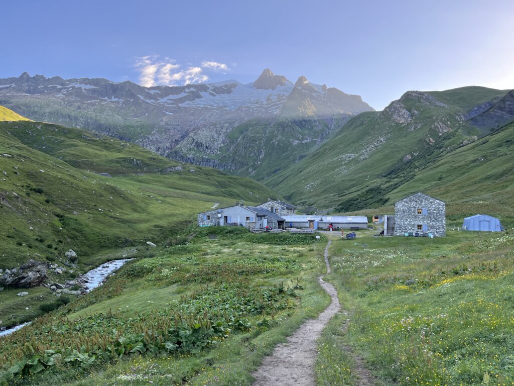
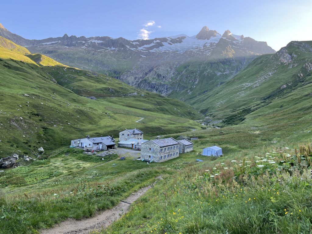
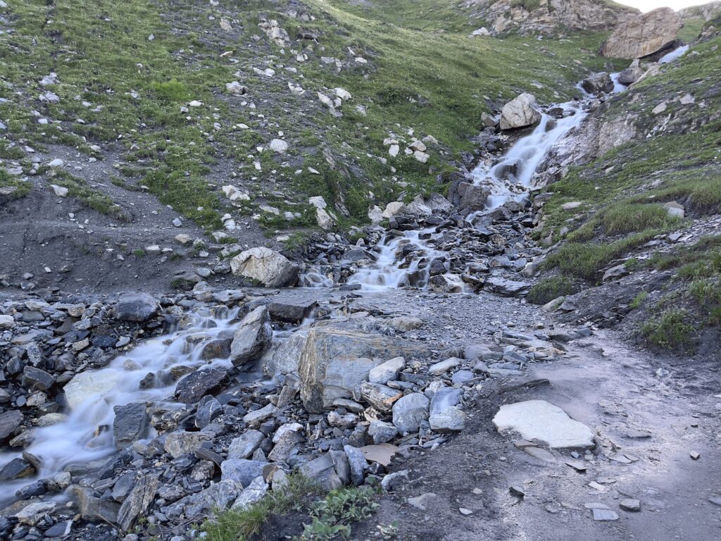
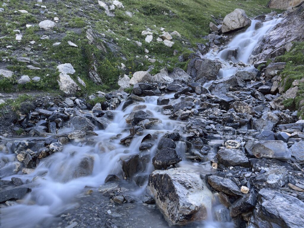
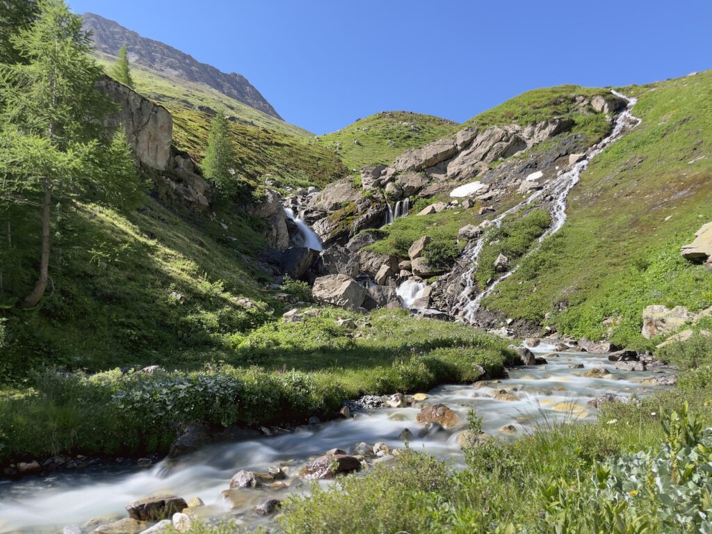
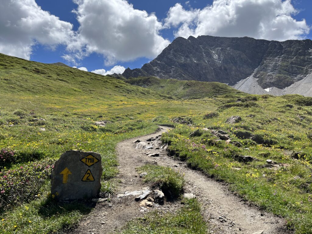
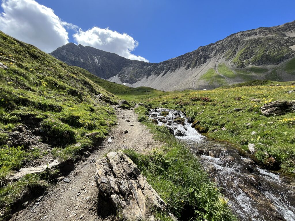
The initial ascent today was very short, only about 3 miles. There was a beautiful waterfall along the trail.
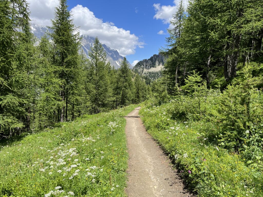
After that it was mostly downhill or flat.
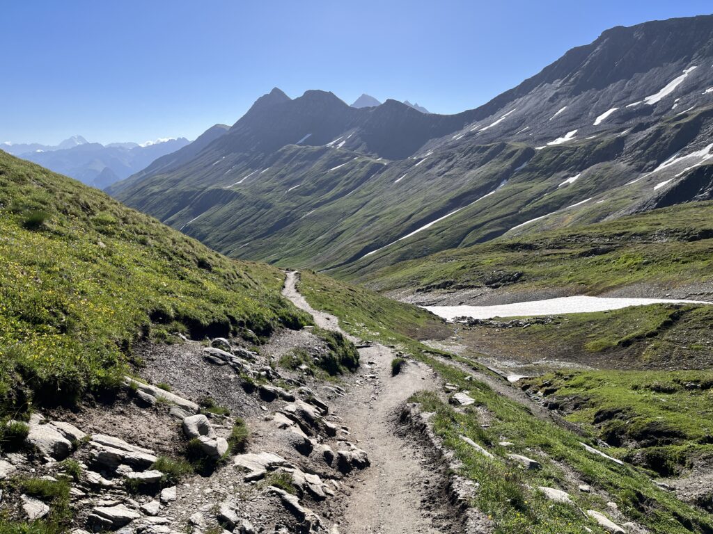
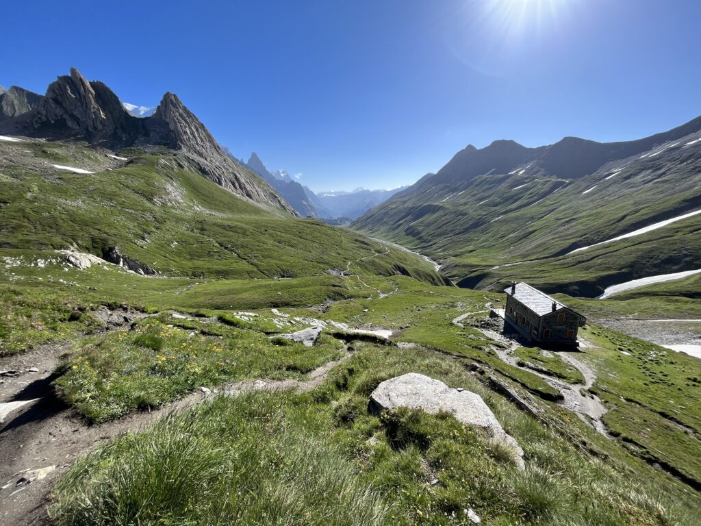
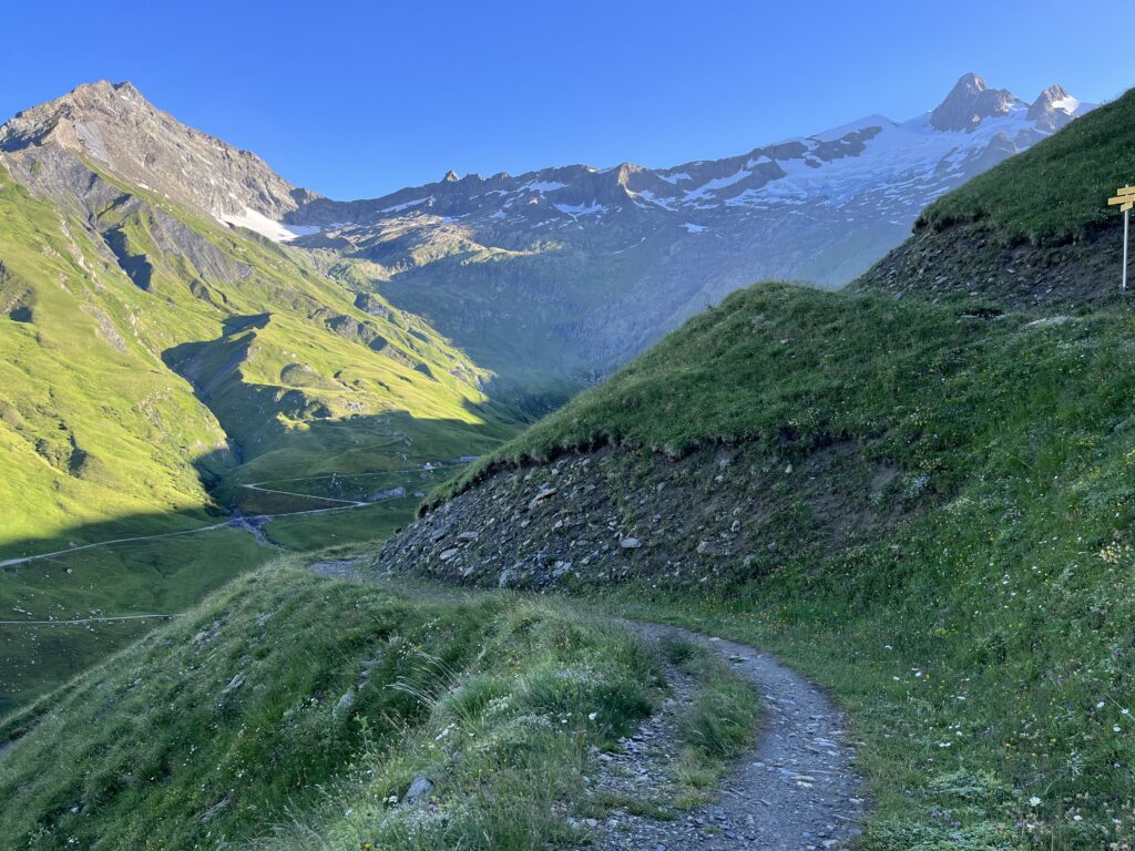
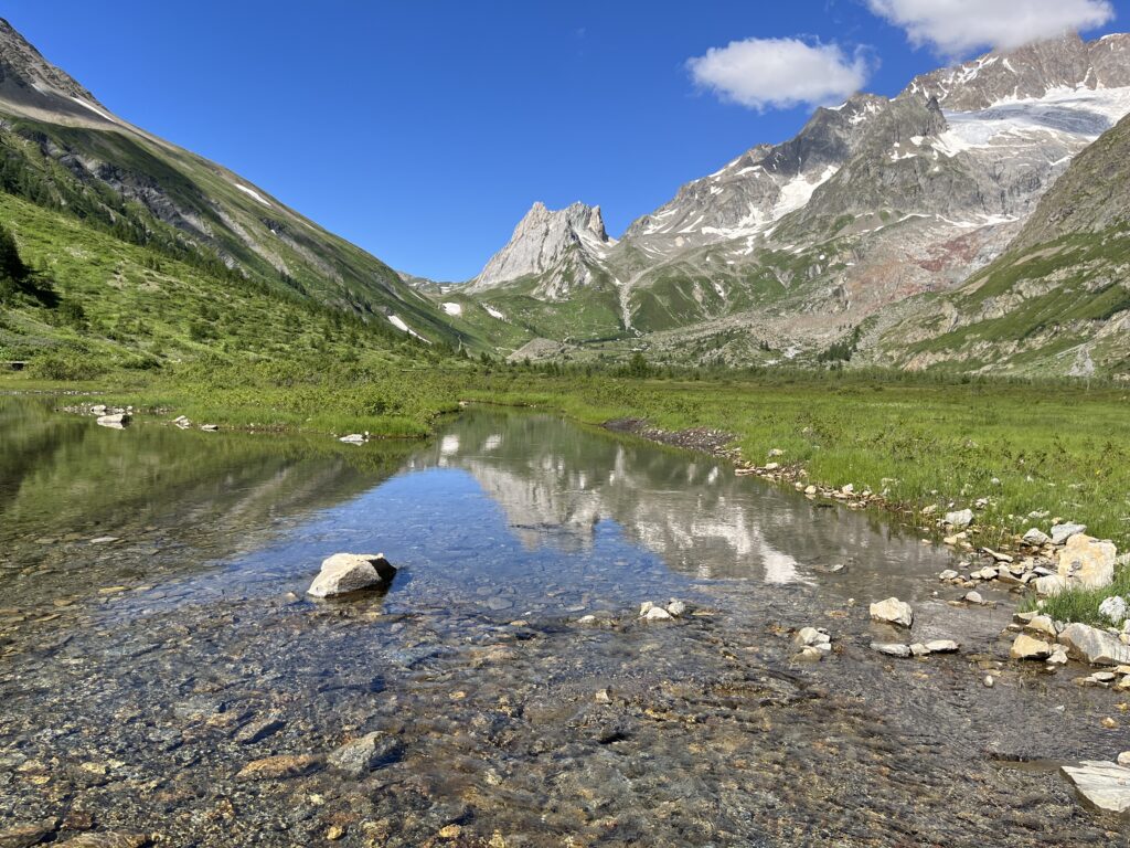
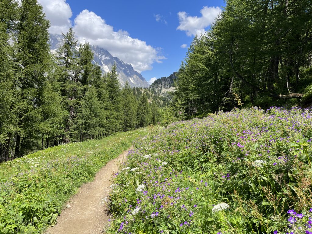
Since it was an easy walk, the scenery was even more enjoyable.
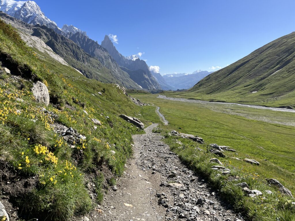
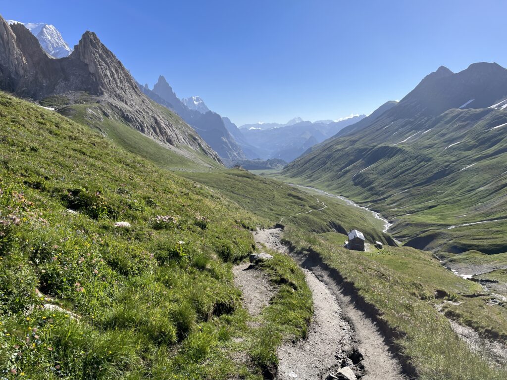
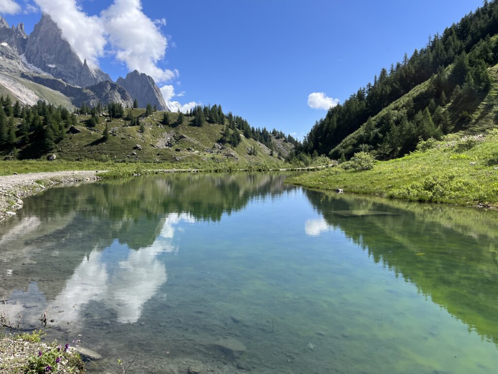
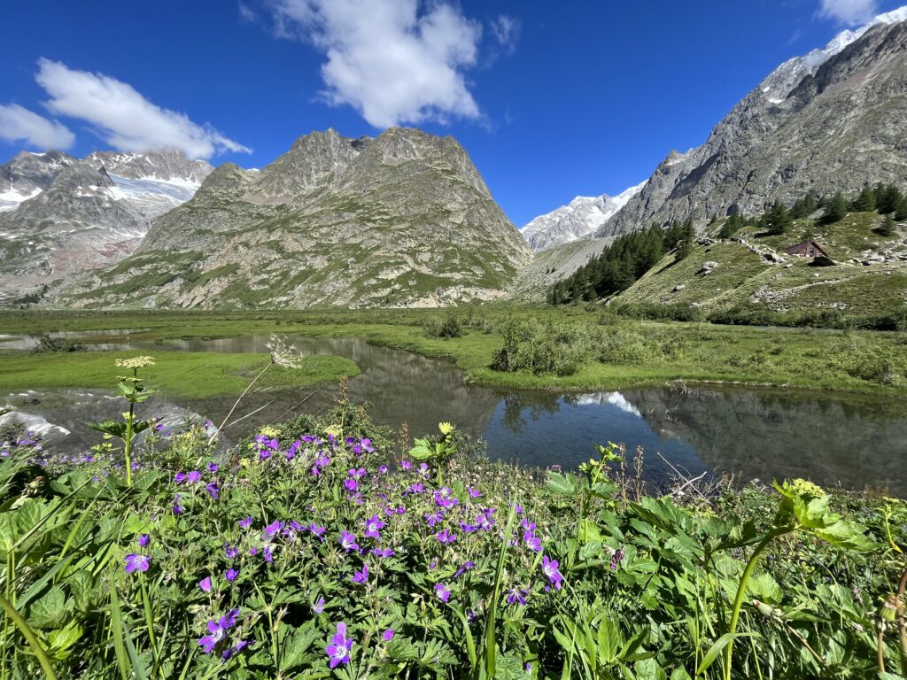
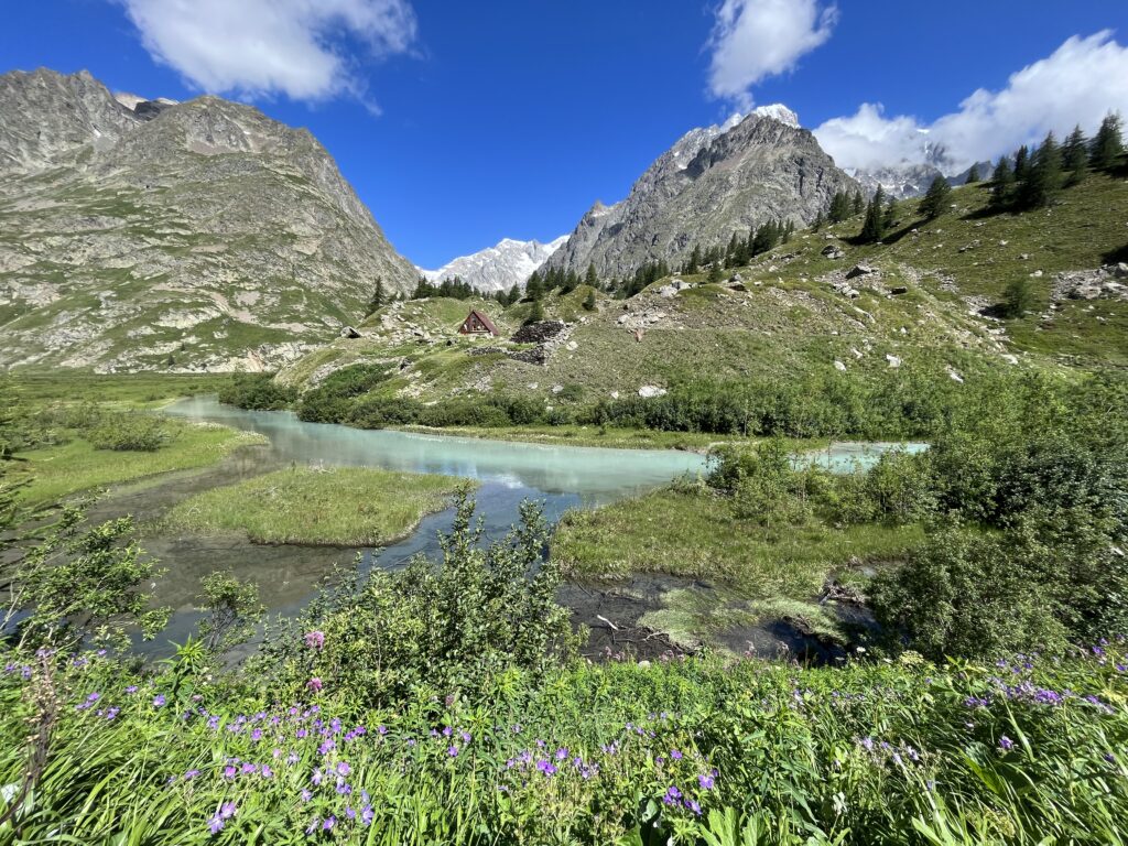
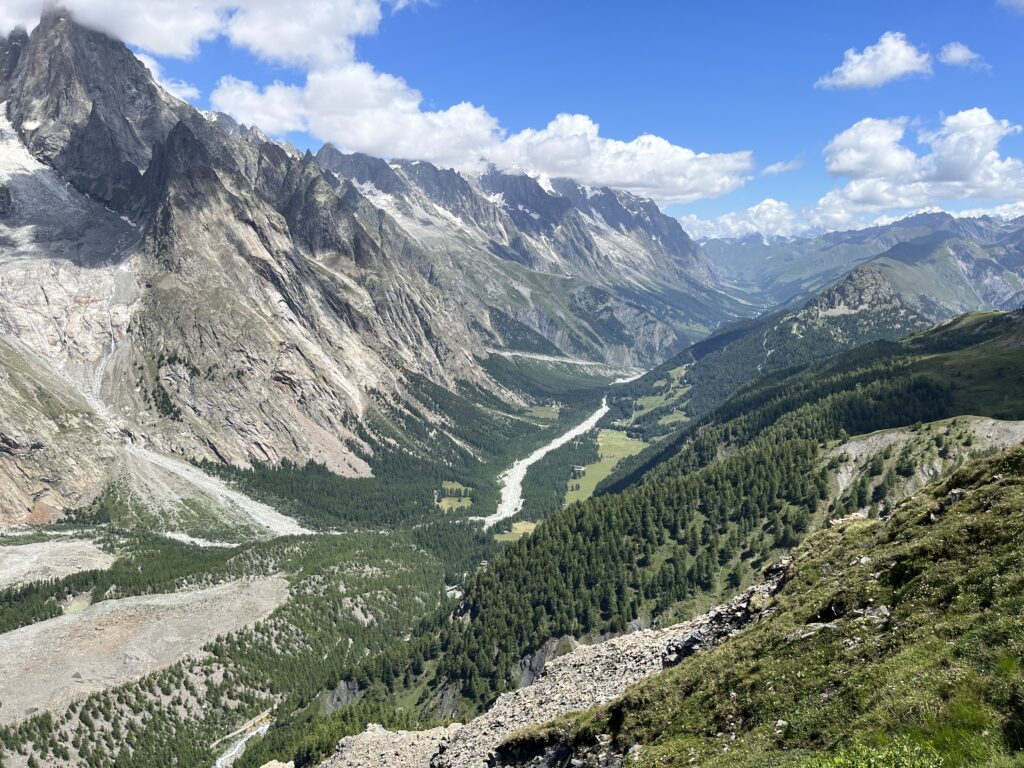
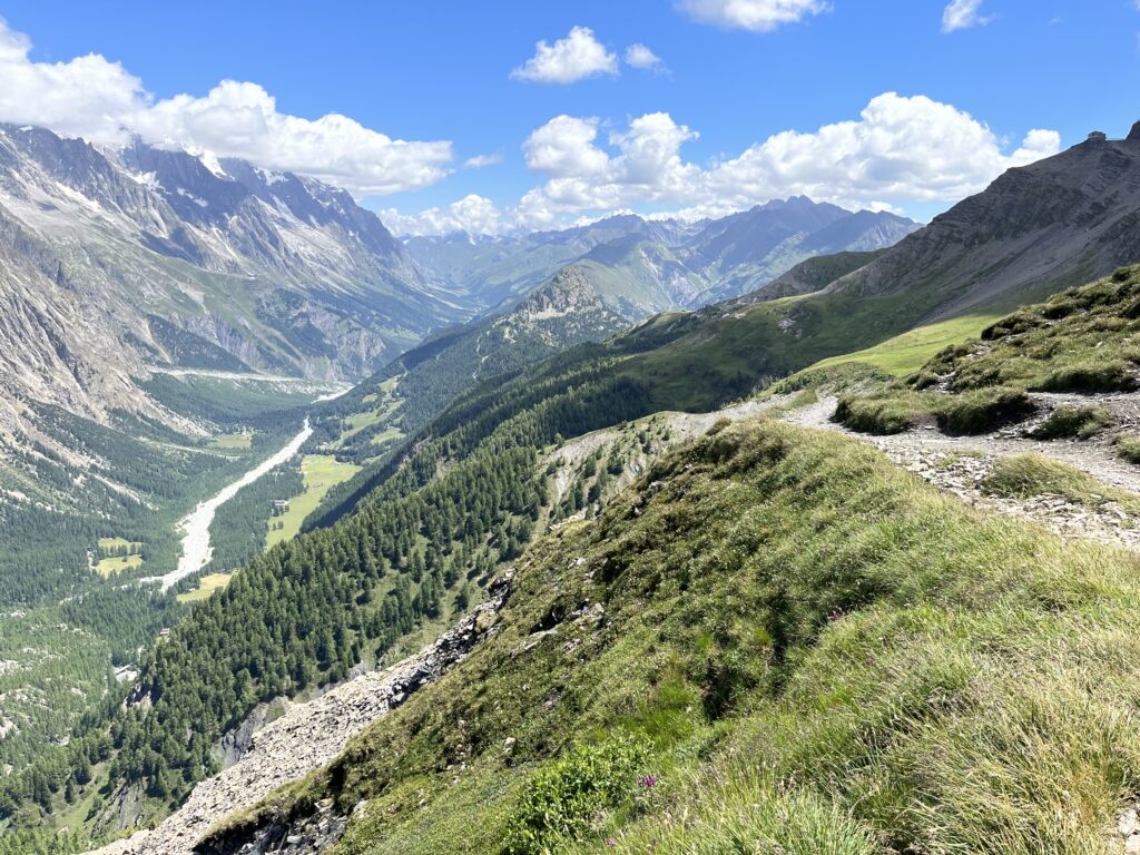
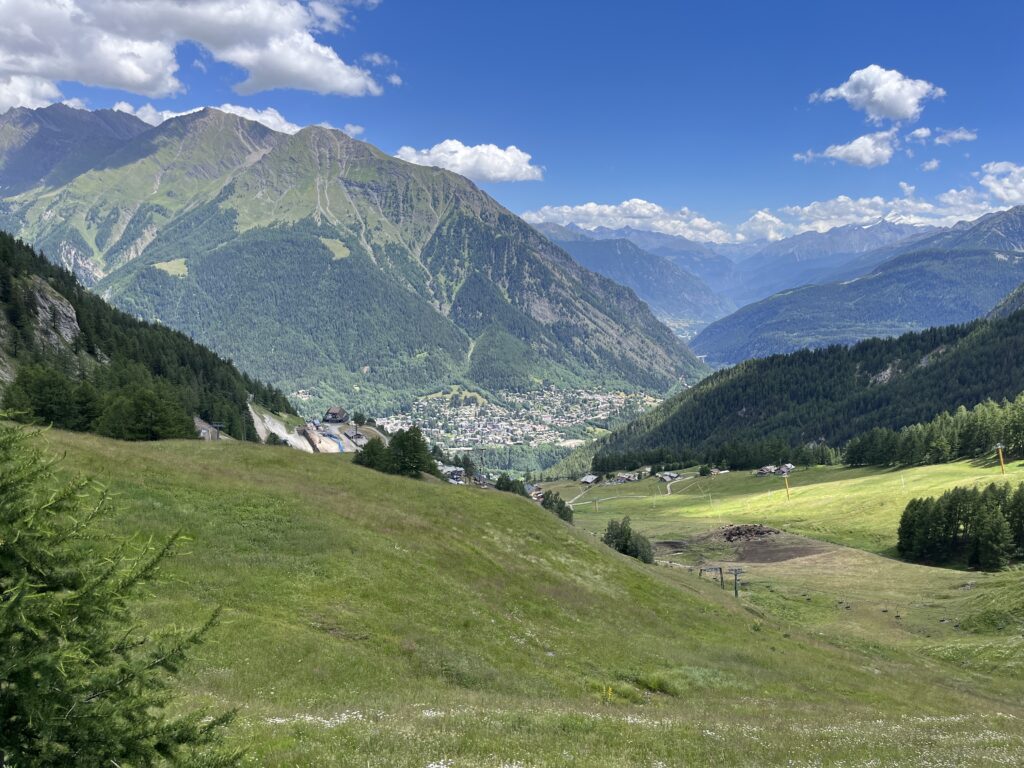
I crossed the border and entered Italy. It was absolutely gorgeous everywhere.
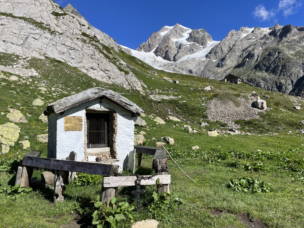
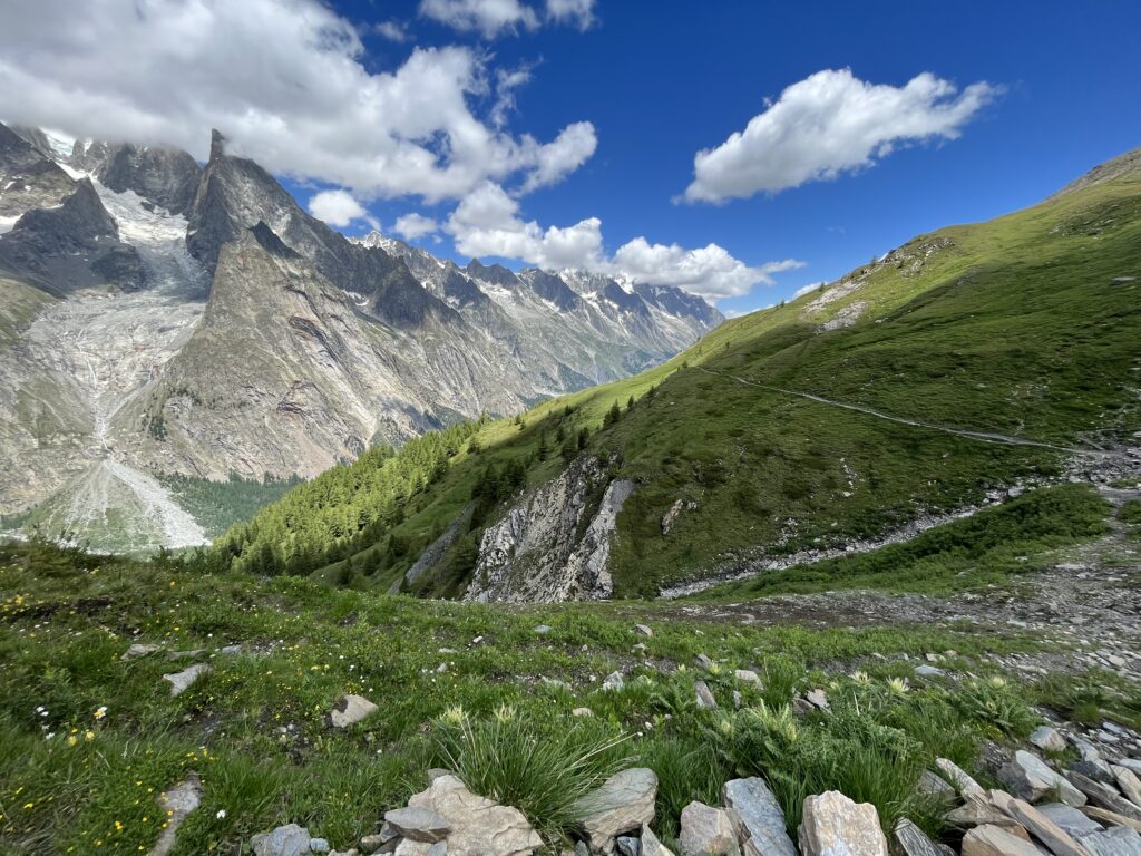
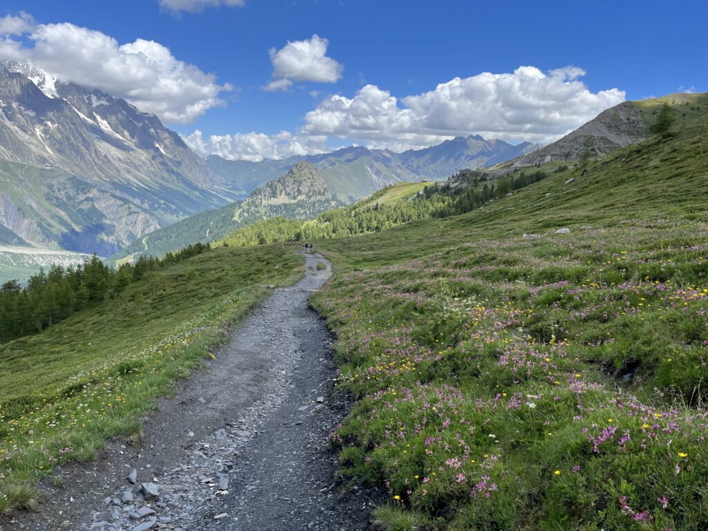
Then another short but steep uphill climb.

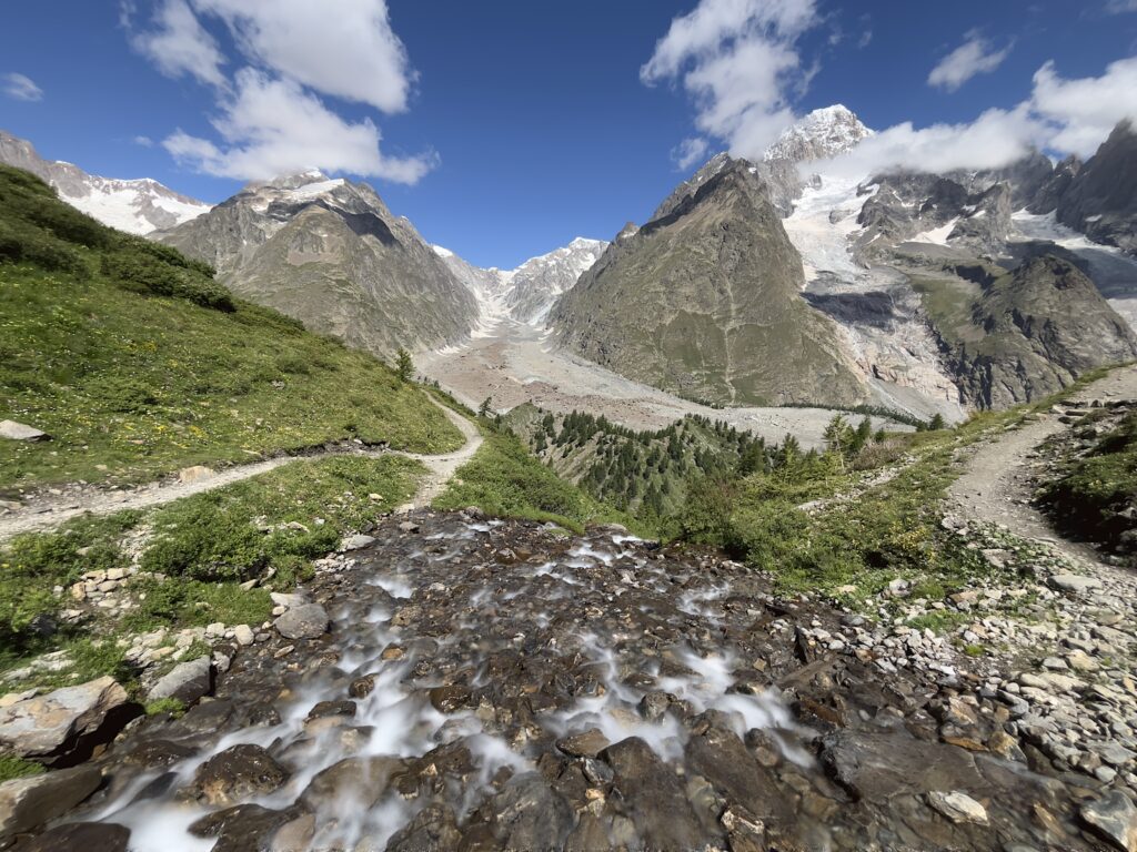
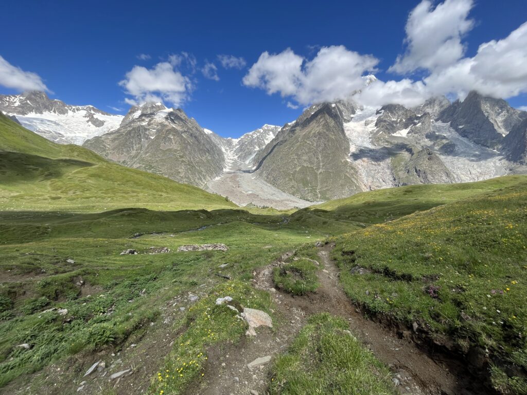
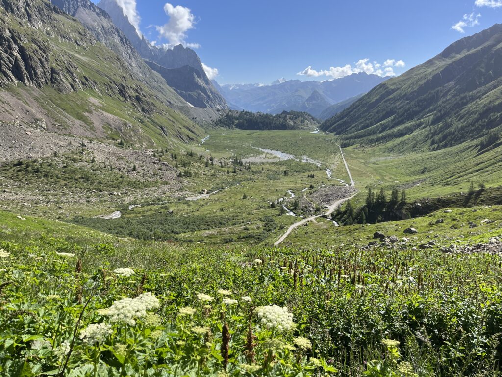
Looking down the valley after the final climb of the day.
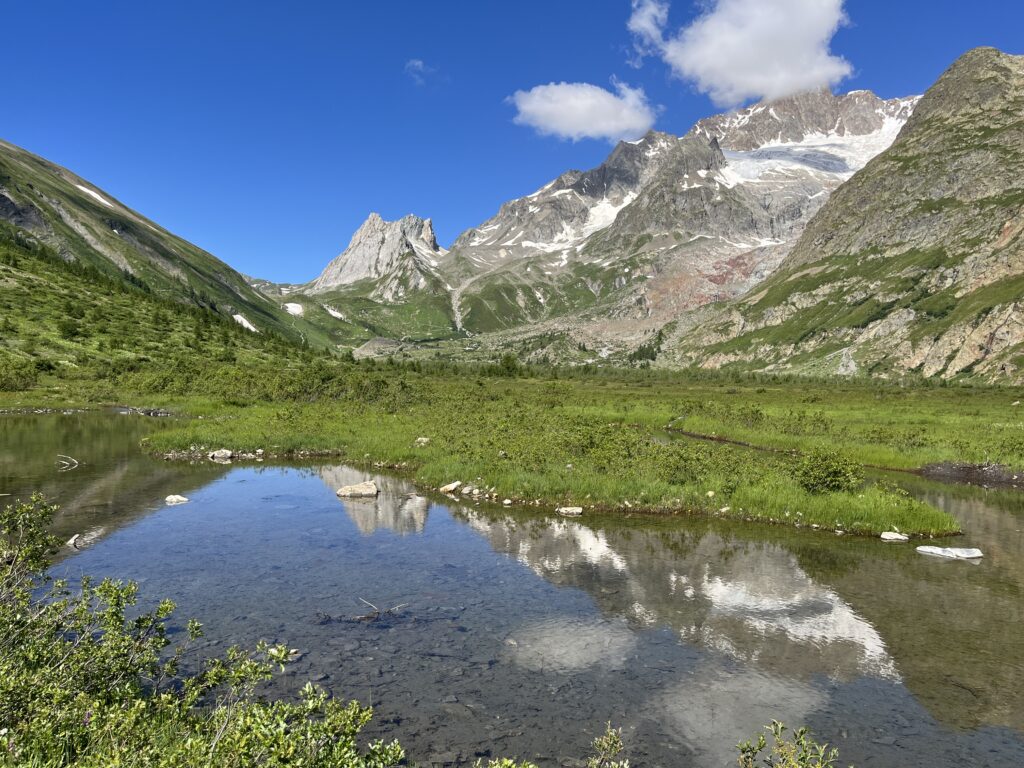
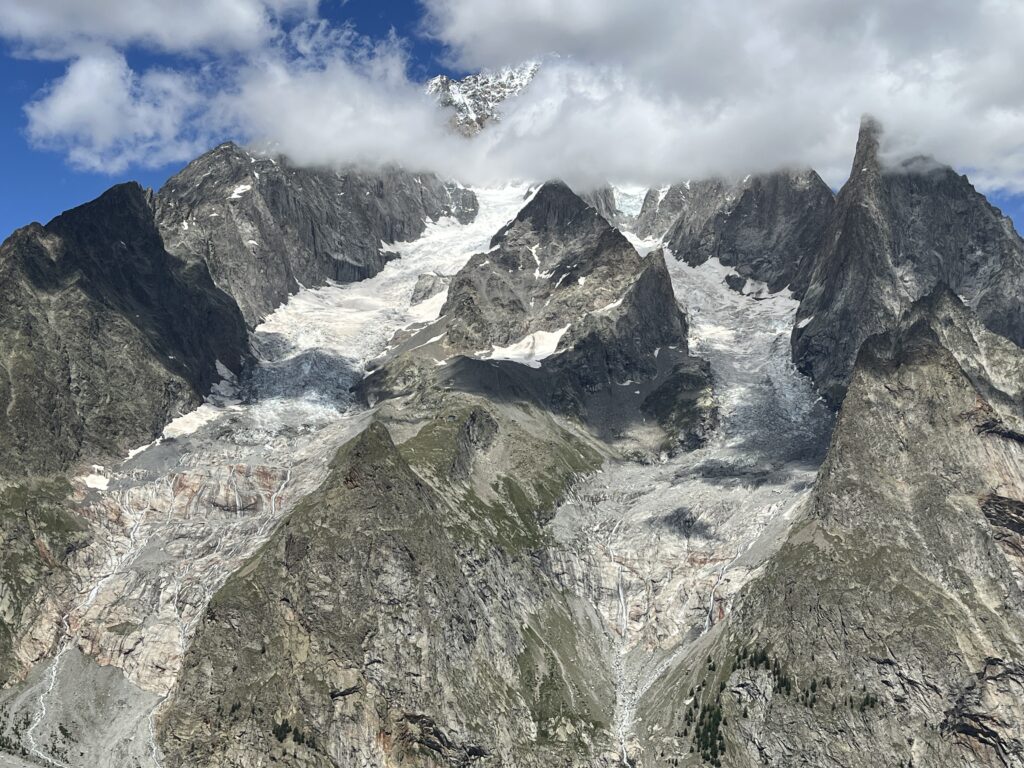
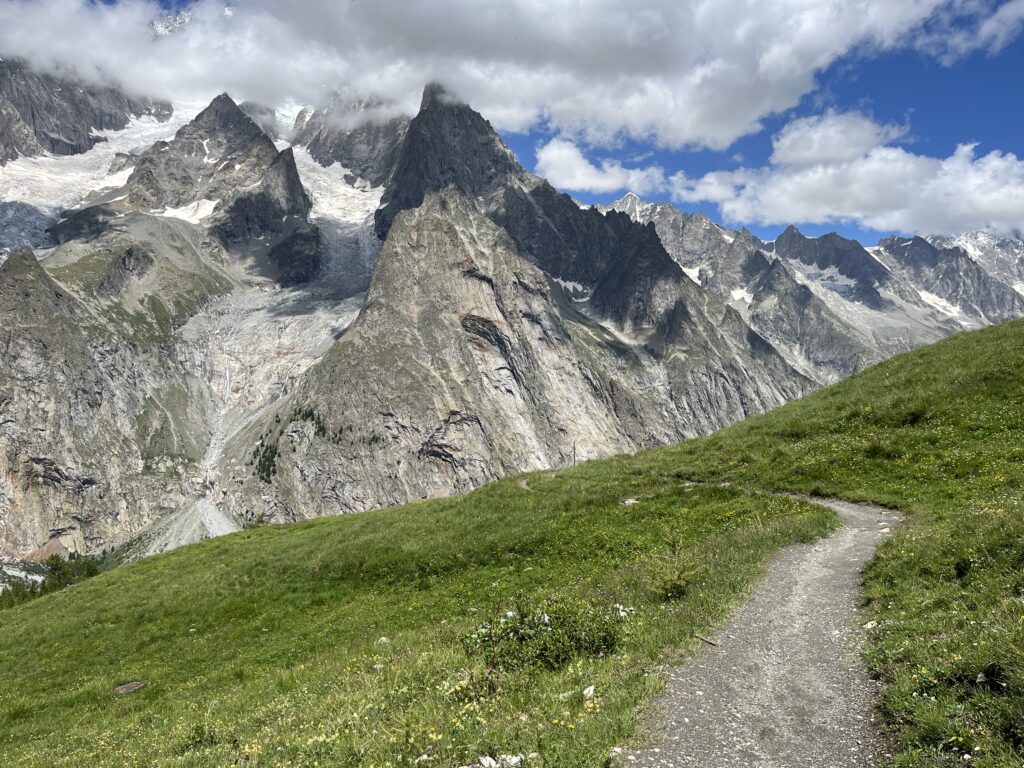
Another view of the glacier.
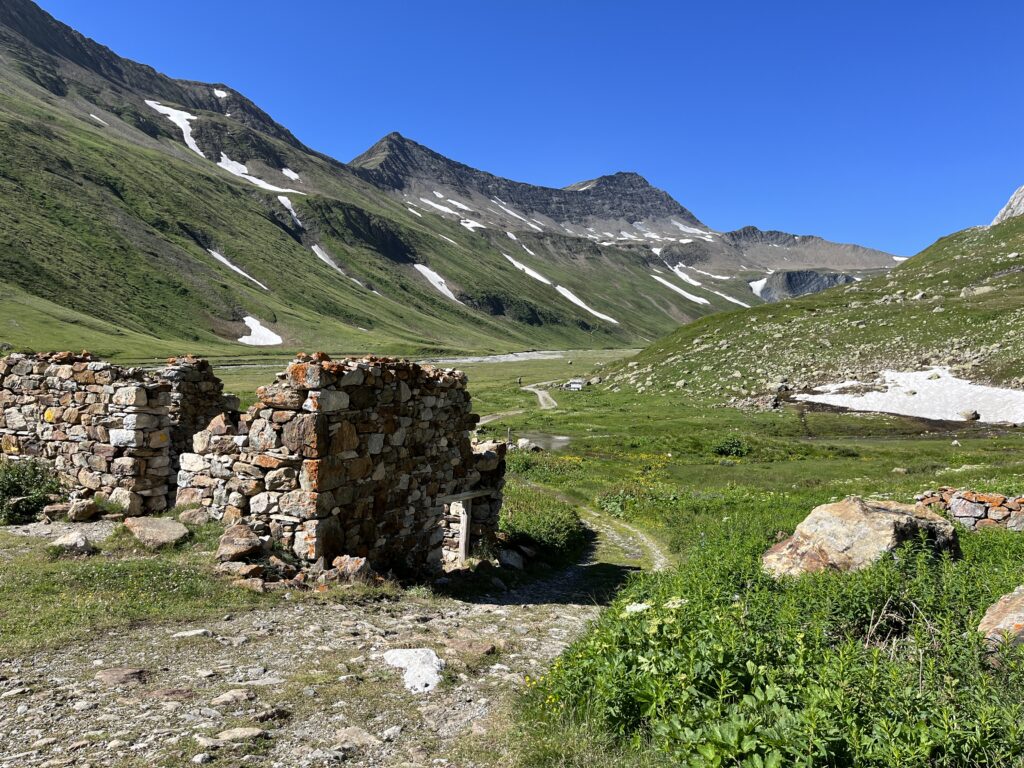
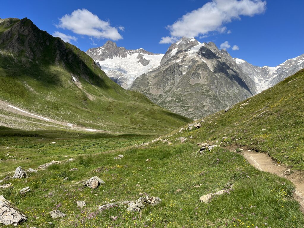
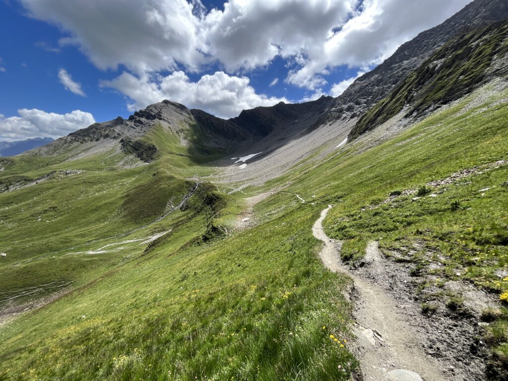
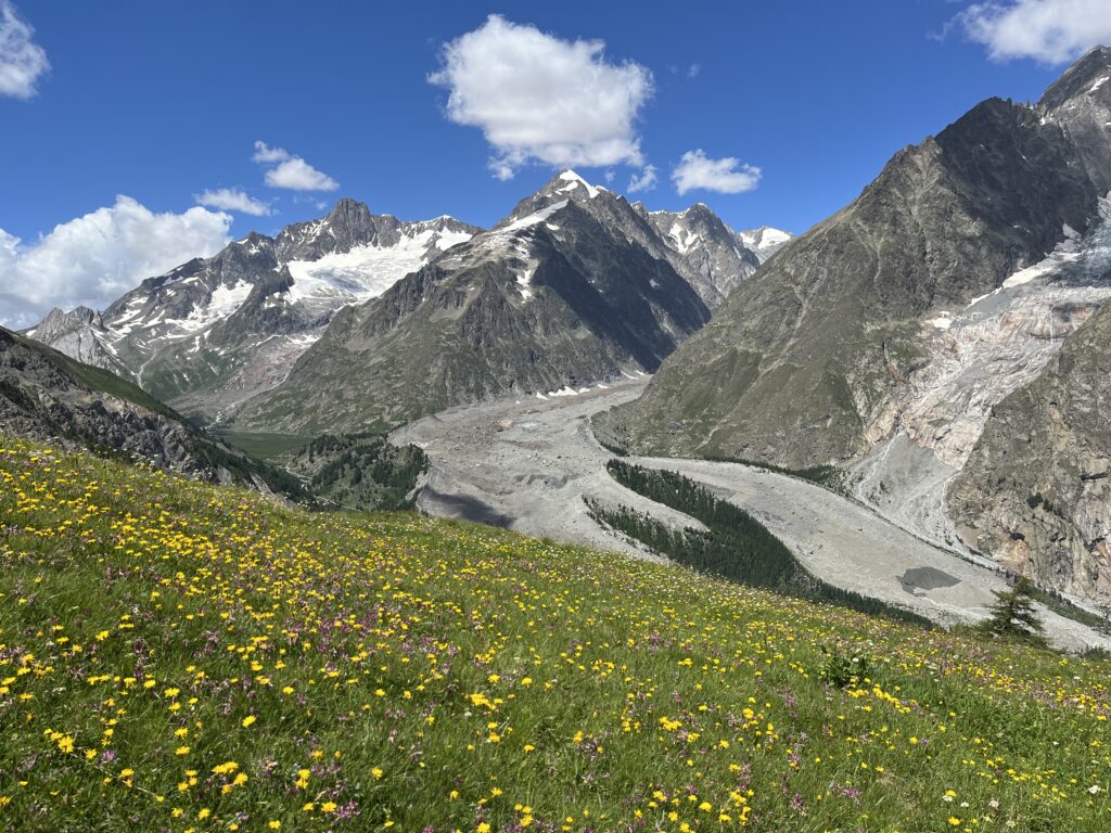
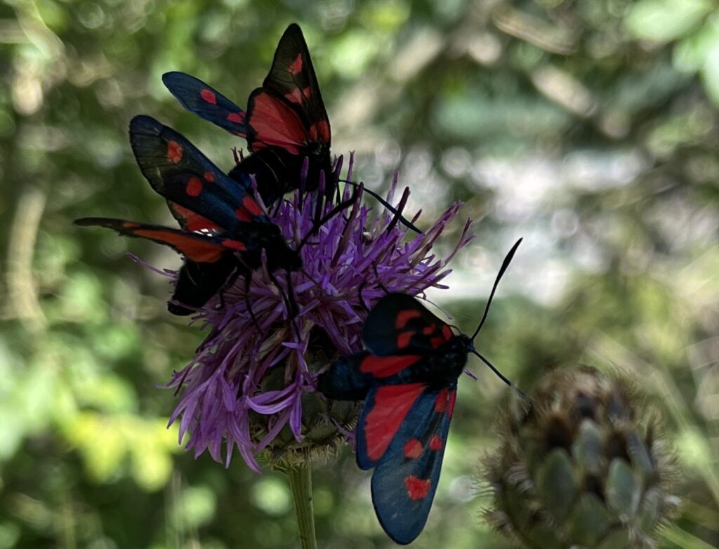
Carpet of wildflowers.
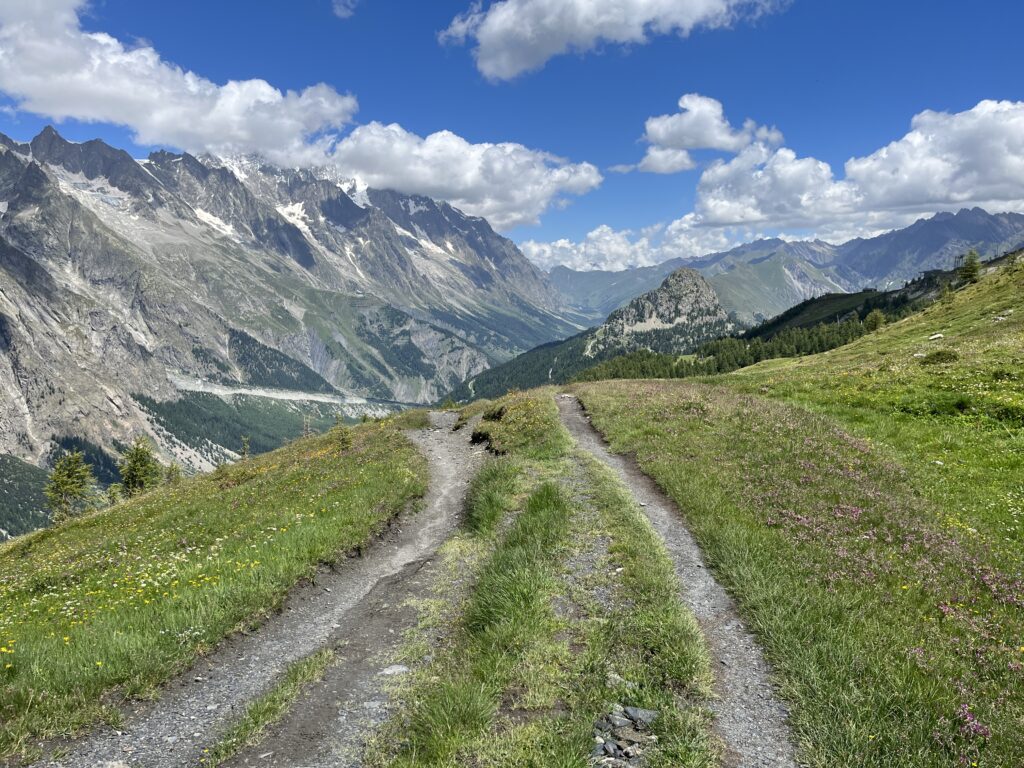
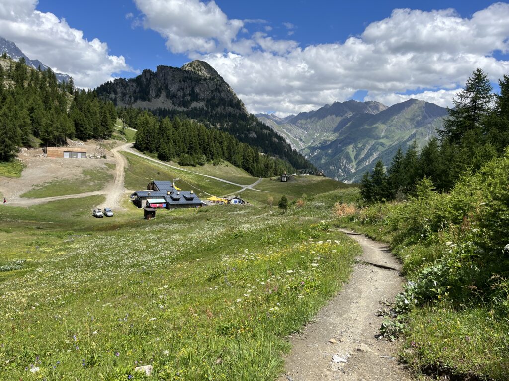
The rest of the hike from here was all downhill. But it was so steep it really hurt my knees which was a first for me. I was usually pretty good at hiking downhill and never had problems before.
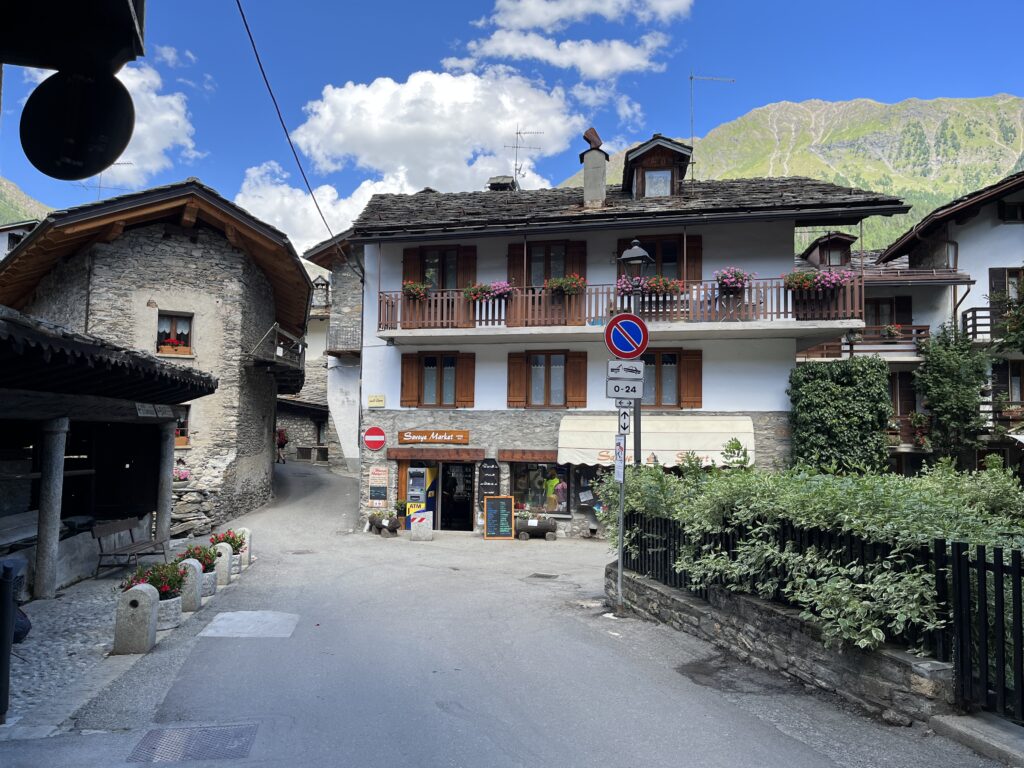
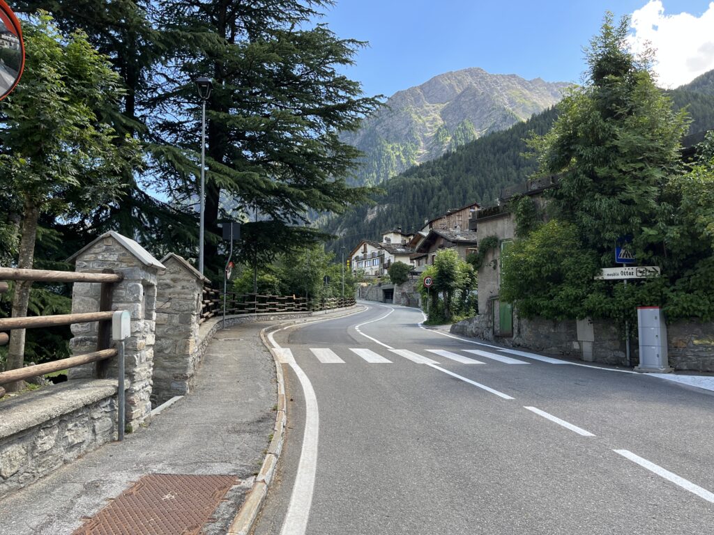
After what seemed to be an endless steep descent (grade as much as 46% at times), I finally arrived at the Italian town of Courmayeur.
My route (Tracking app crashed after about 4 miles but fortunately the GPS locations of the uploaded pics helped):