
Length: 5.11 miles
Elev. gain: 223 ft
Time: 2:07:50
The hike:
This trail is located in Chesapeake and Ohio Canal National Historical Park and is one of the most popular hikes in DC area. So of course I wasn’t going to miss it.
I started the hike at 7am when the park was supposed to open. But lots of people were already there.
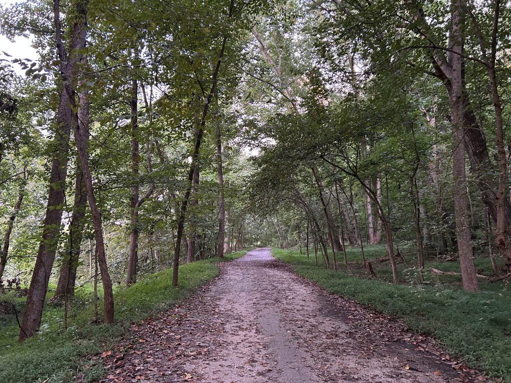
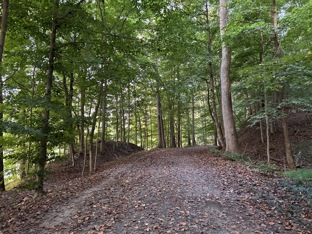
This is a loop trail that started flat and easy and very peaceful, with lots of shade. Since I wanted to finish as early as possible to be back for other activities, I combined the hike with some trail running to save some time.
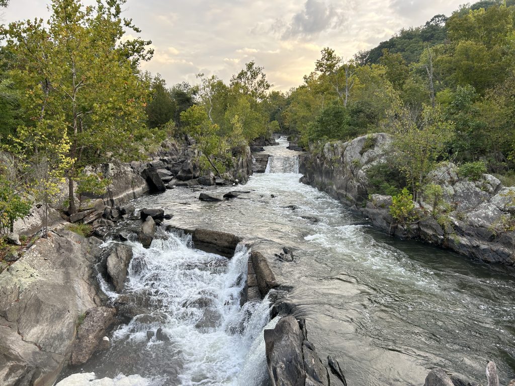
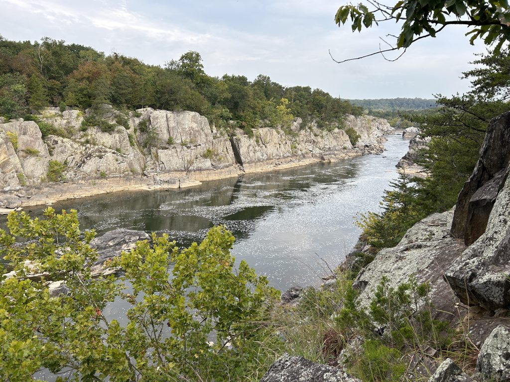
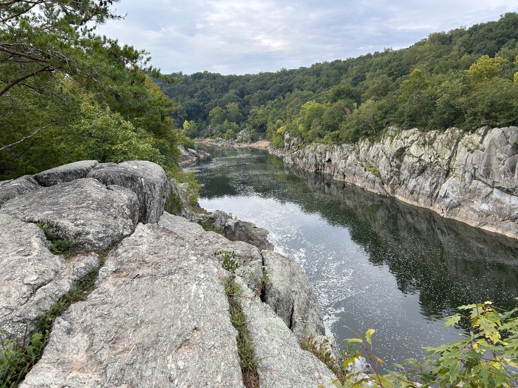
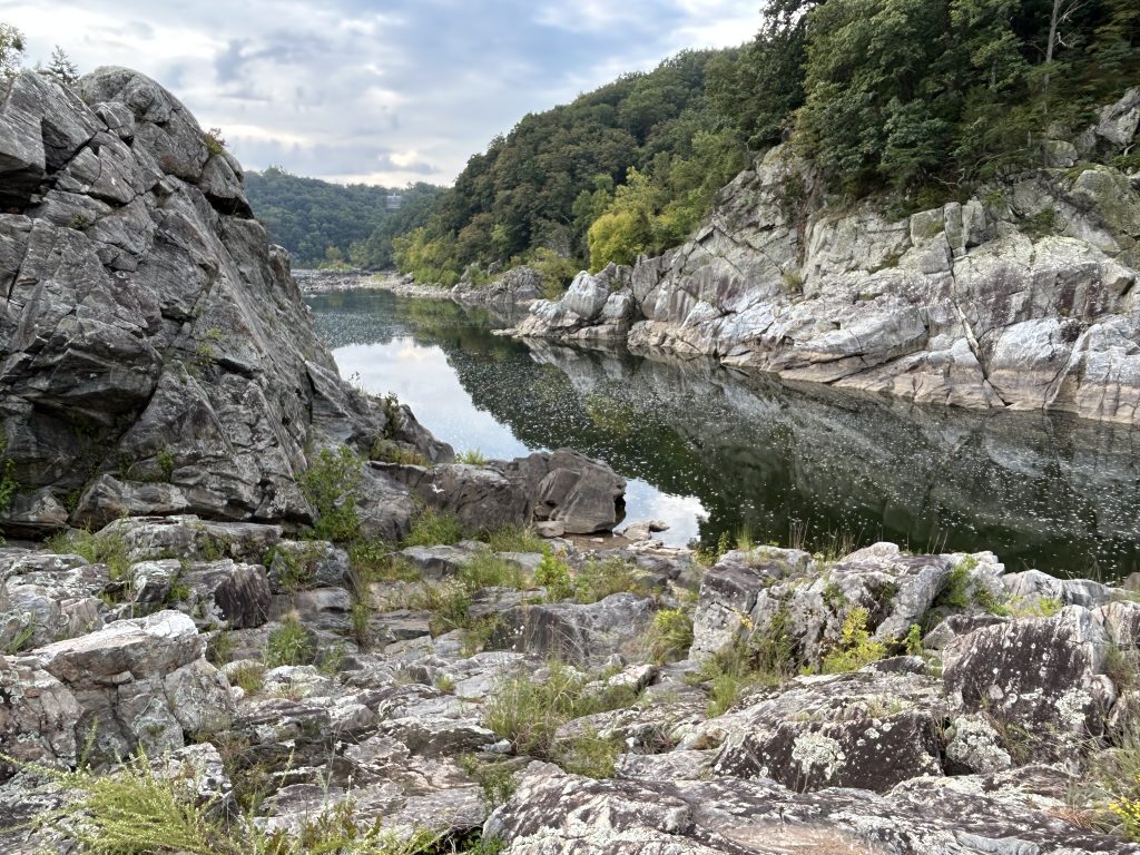
Soon after glimpse of the Potomac River came into view, I took the spur out trail to the overlook.

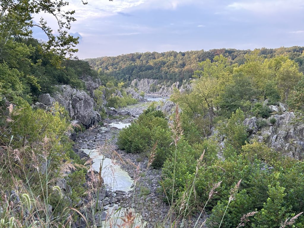
The views were amazing.
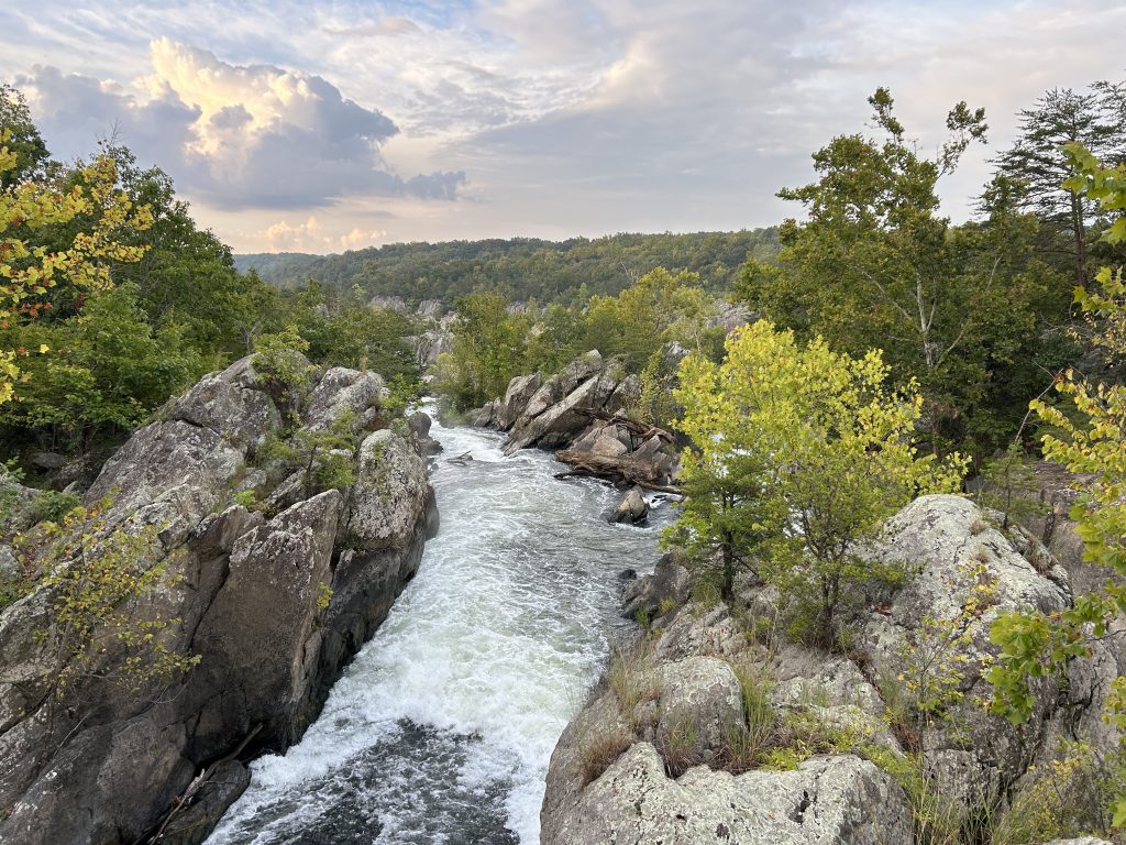
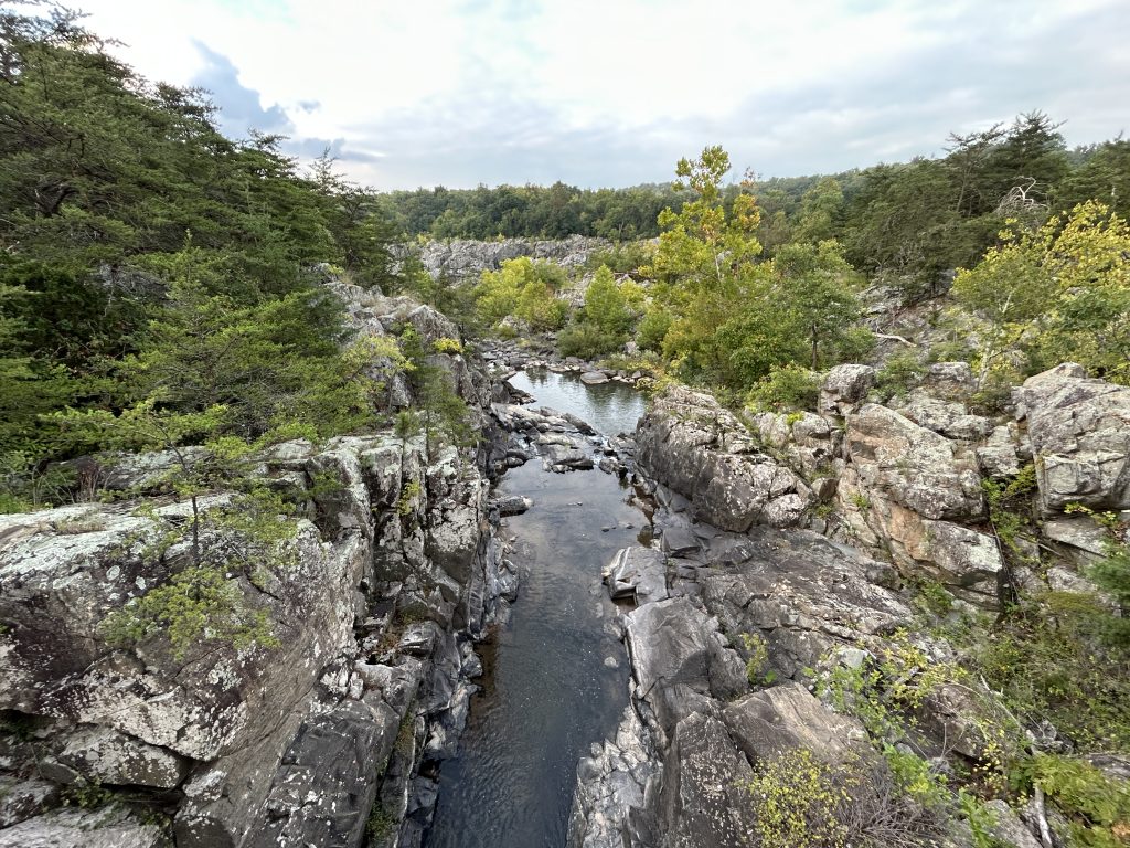
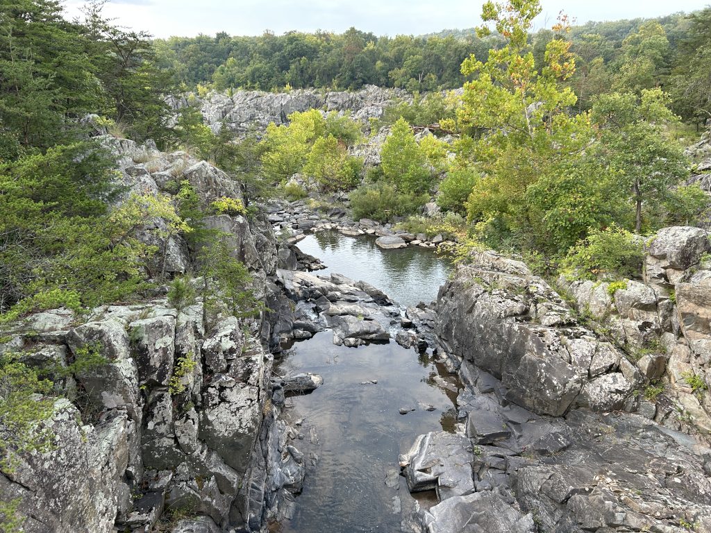

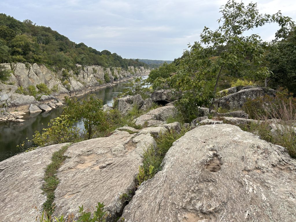
Afterwards I took the Goat Trail back.
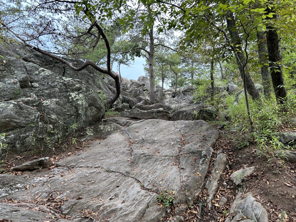
I made the mistake of assuming the whole hike would be as easy as the first part. But then I saw this sign.
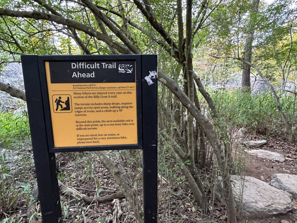
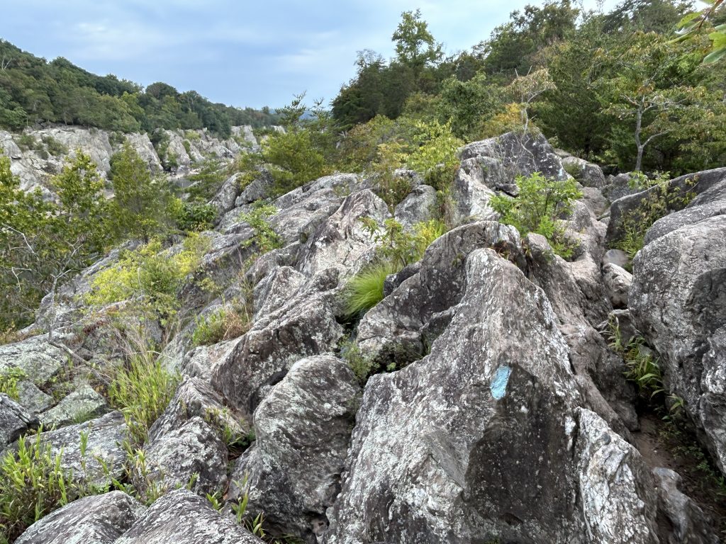
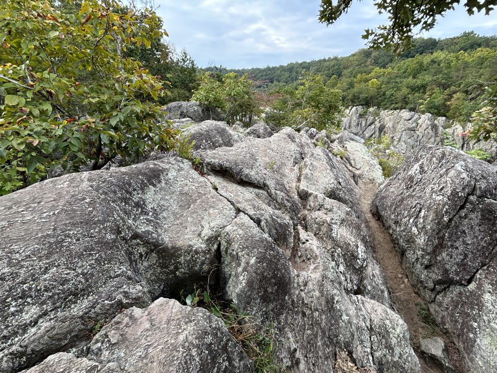
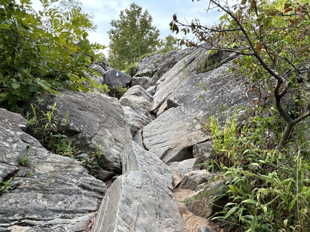
After the sign, the hike was mainly on jagged rocks with lots of scrambling.
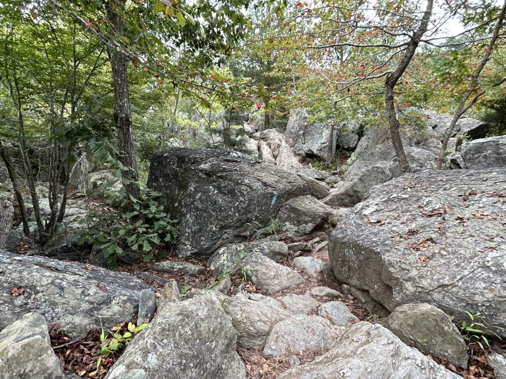
Although it wasn’t too difficult, nor strenuous, it was very time consuming, especially since this section is about a mile long and seemed endless and I was in a rush to finish it.
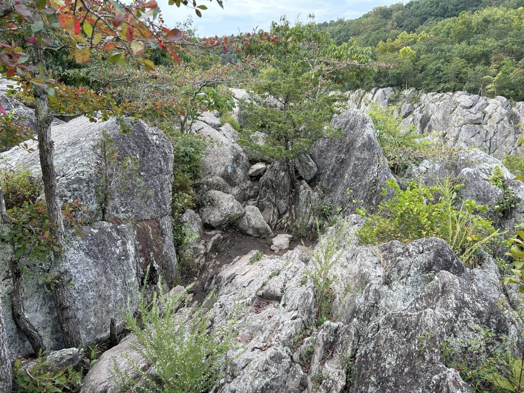
The traverse is steep but not very long. So it was pretty easy to climb.
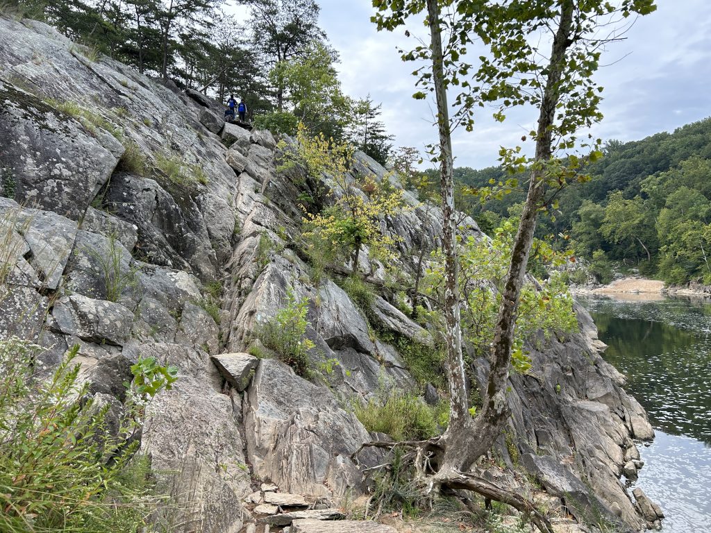
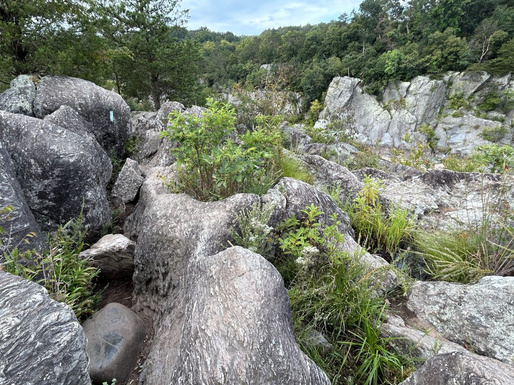
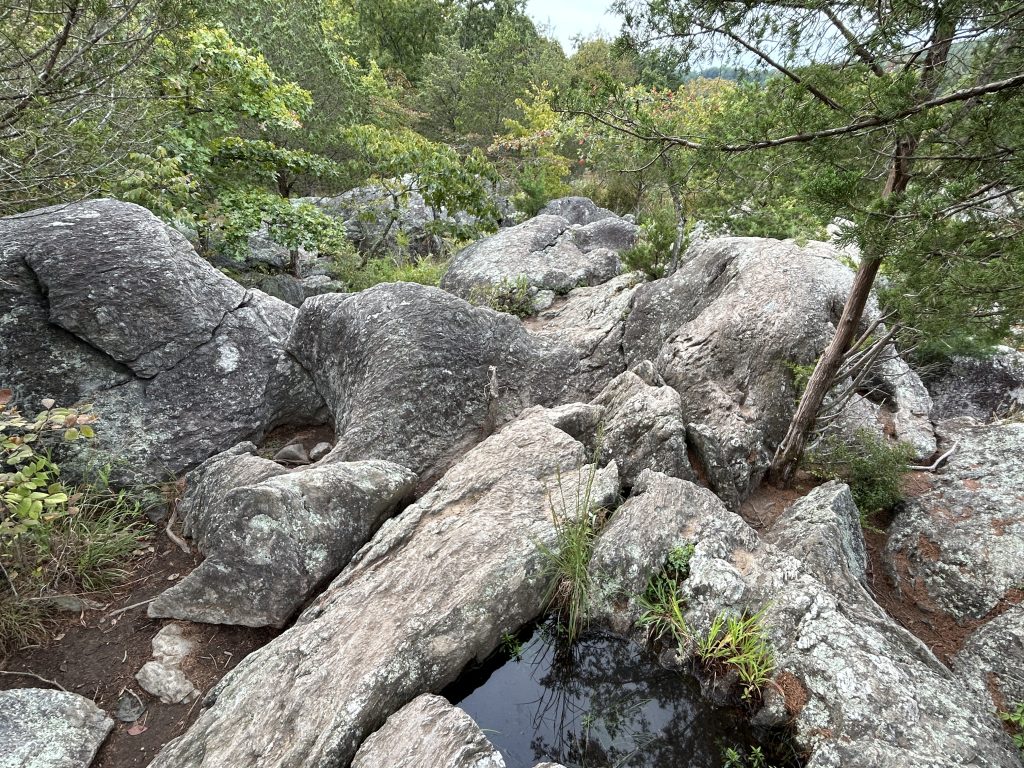
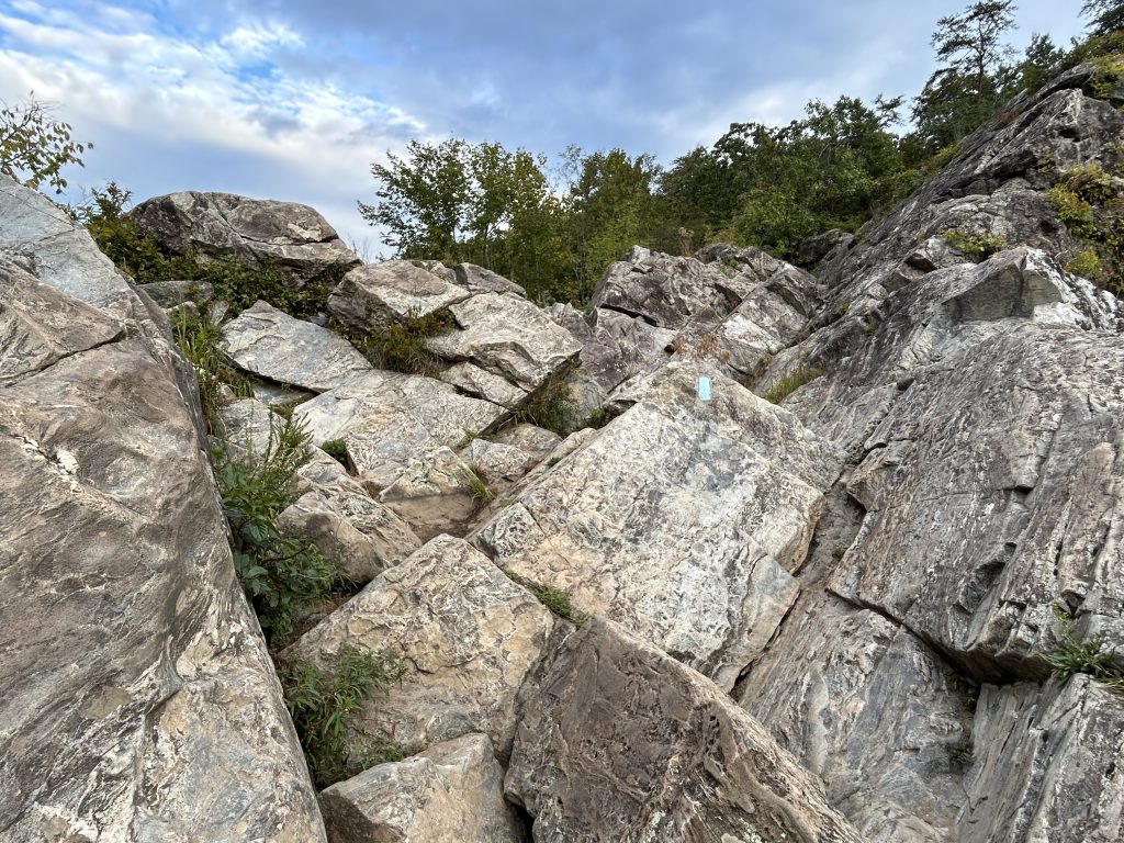
More scrambling after the traverse.
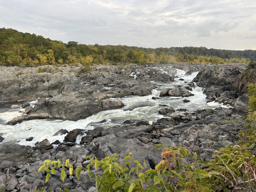
But nice views of Potomac River too.
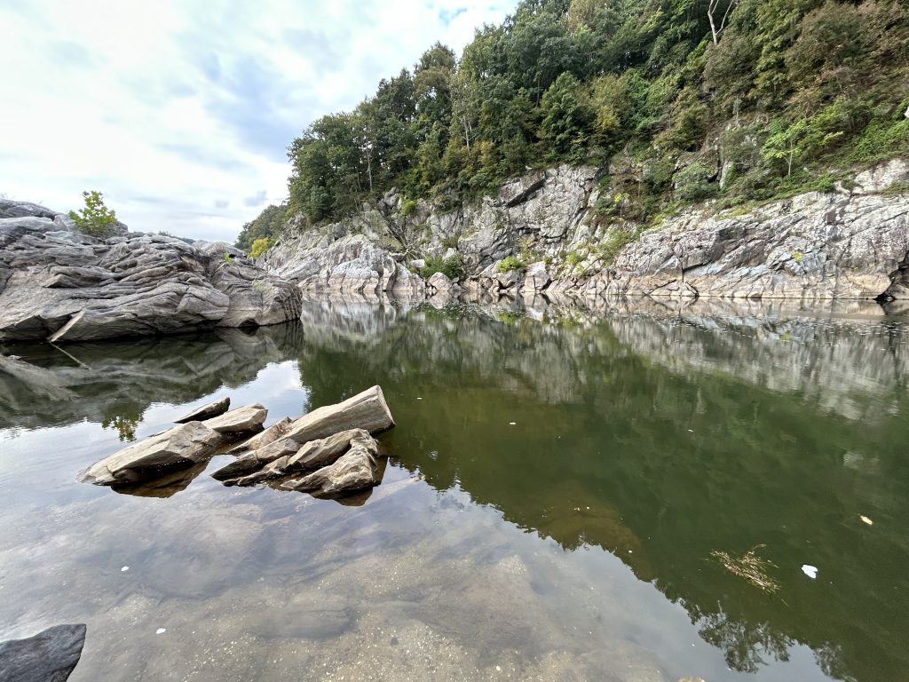

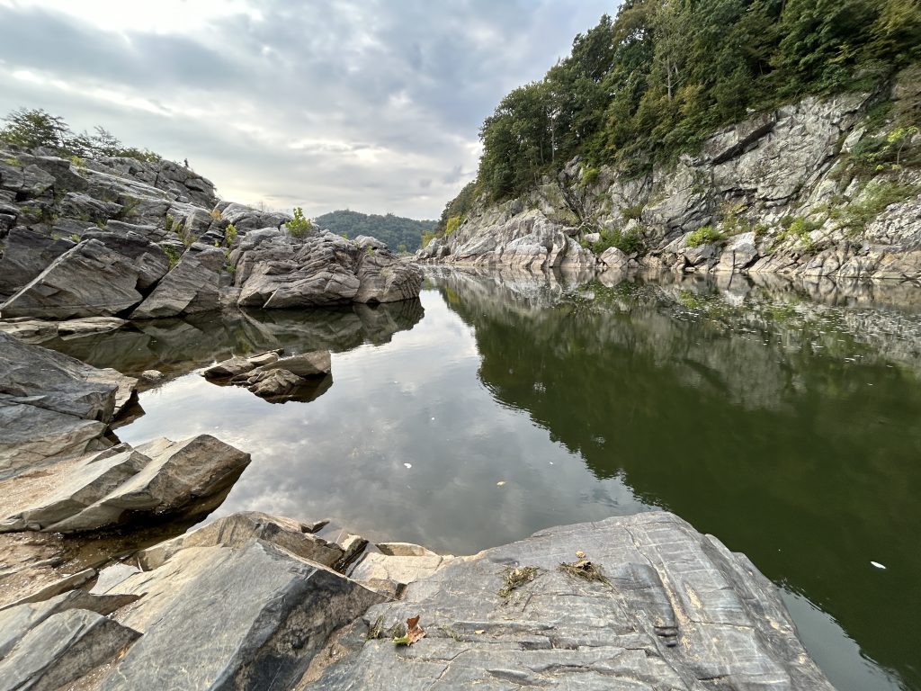

I enjoyed both the scrambling and the views along the trail.

The hike took longer than planned due to the unexpected rocky terrain. But fortunately I wasn’t too far off. I got back to my hotel only five minutes late ✌️.