
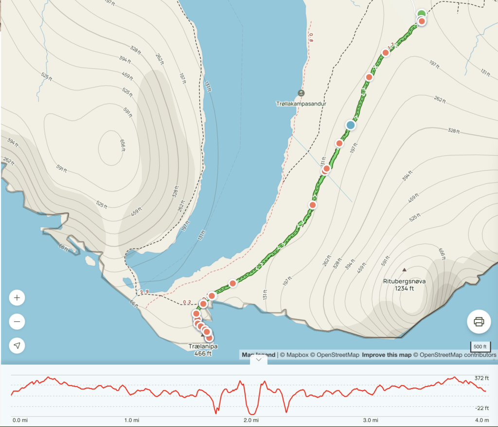
Length: 3.99 mi
Elev. gain: 1056 ft
Time: 1 hr 17 mins
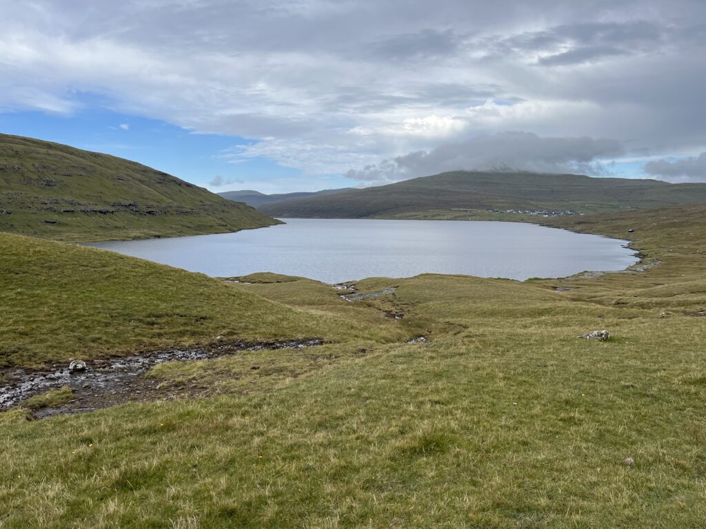
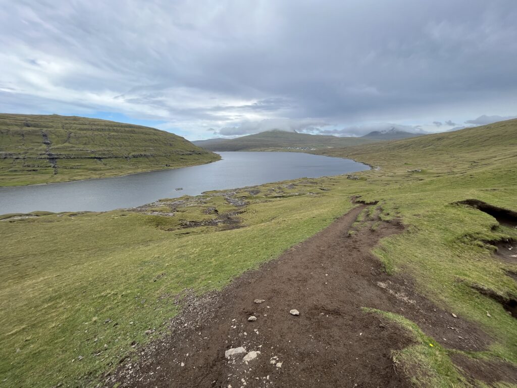
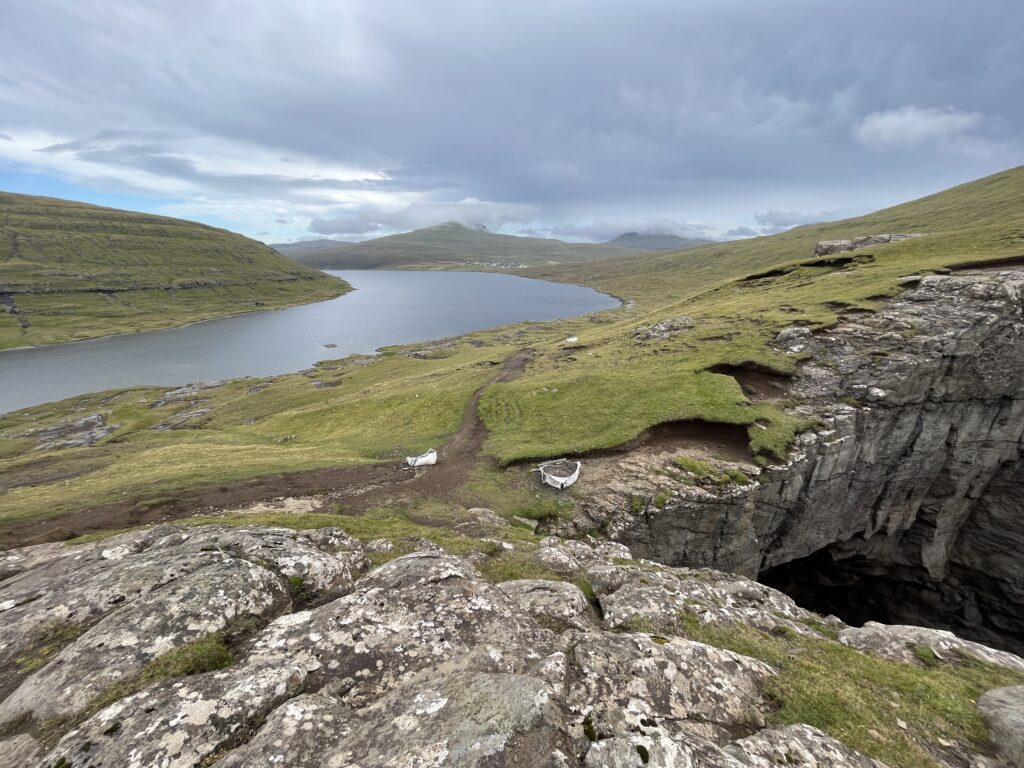
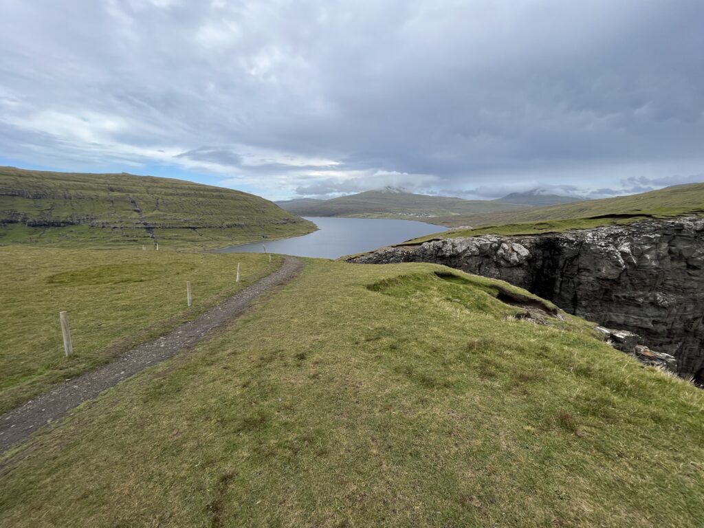
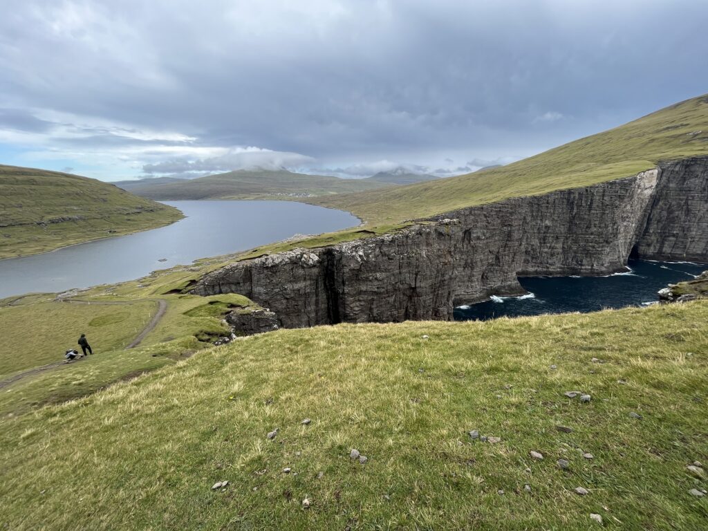
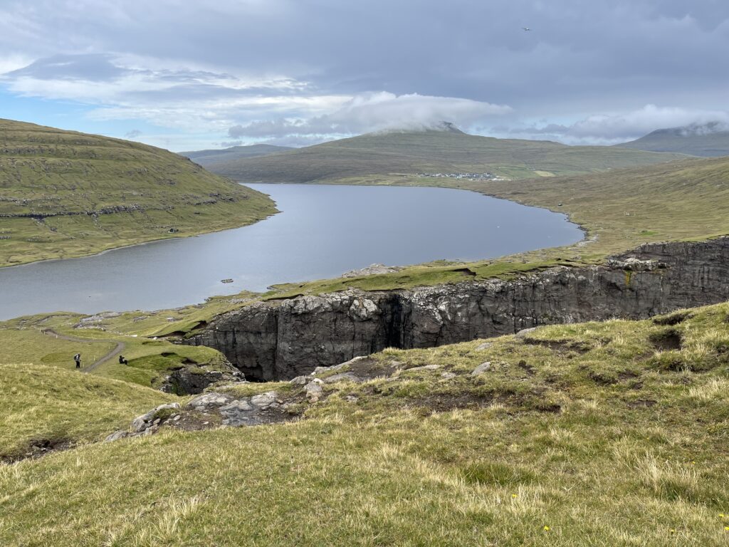
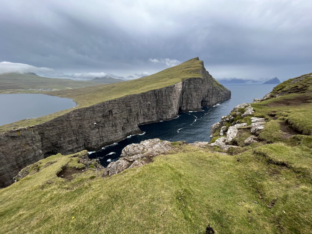
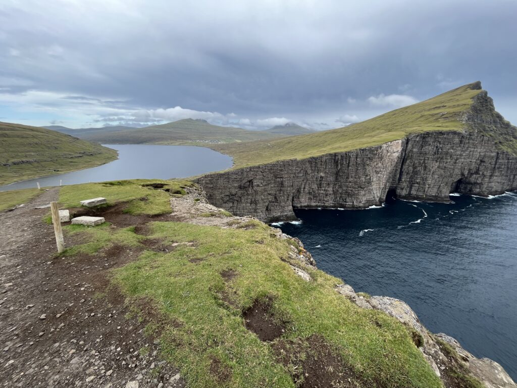
Sørvágsvatn lake is often called the “lake above the ocean” and is the largest lake in the Faroe Islands. It is 32 meters above sea level with steep sides and surrounding cliffs. It’s something we didn’t want to miss when we were on Faroe Islands.
The hike wasn’t free. We had to pay a fee before entering. It was around $27 USD per person (200 krone) at the time and quite expensive considering the actual length of the trail.
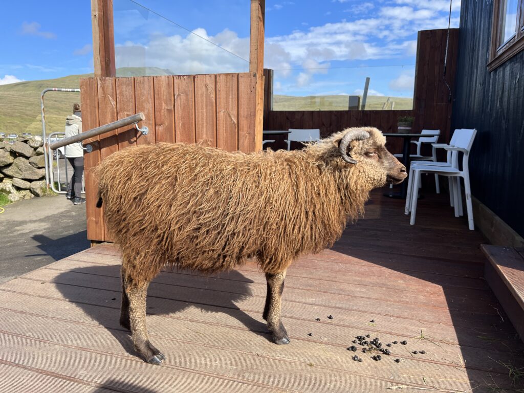
There was a sheep with an attitude at the entrance.
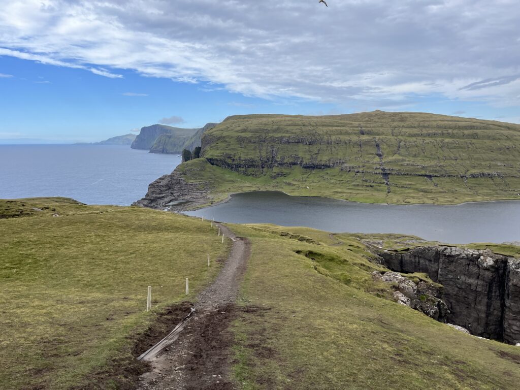
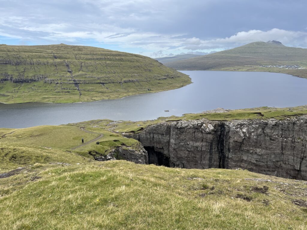
The trail was relatively flat. The scenery was great but it didn’t change much throughout the hike.
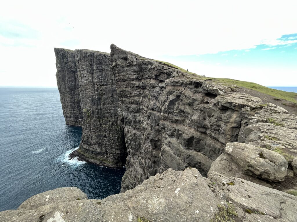

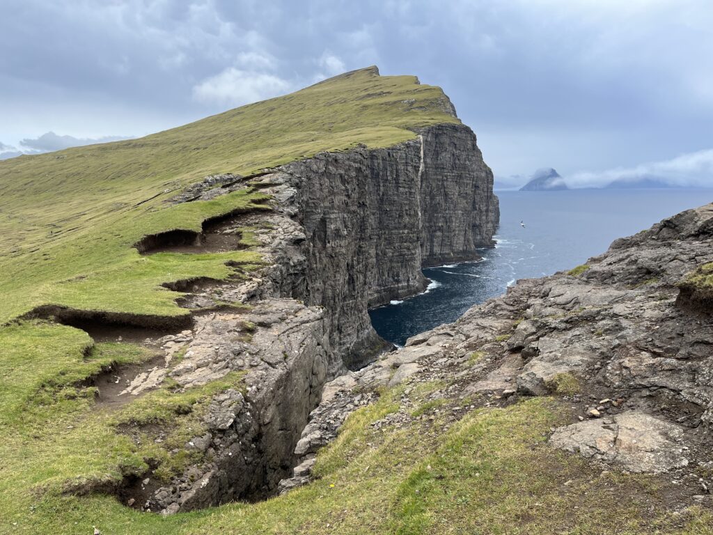
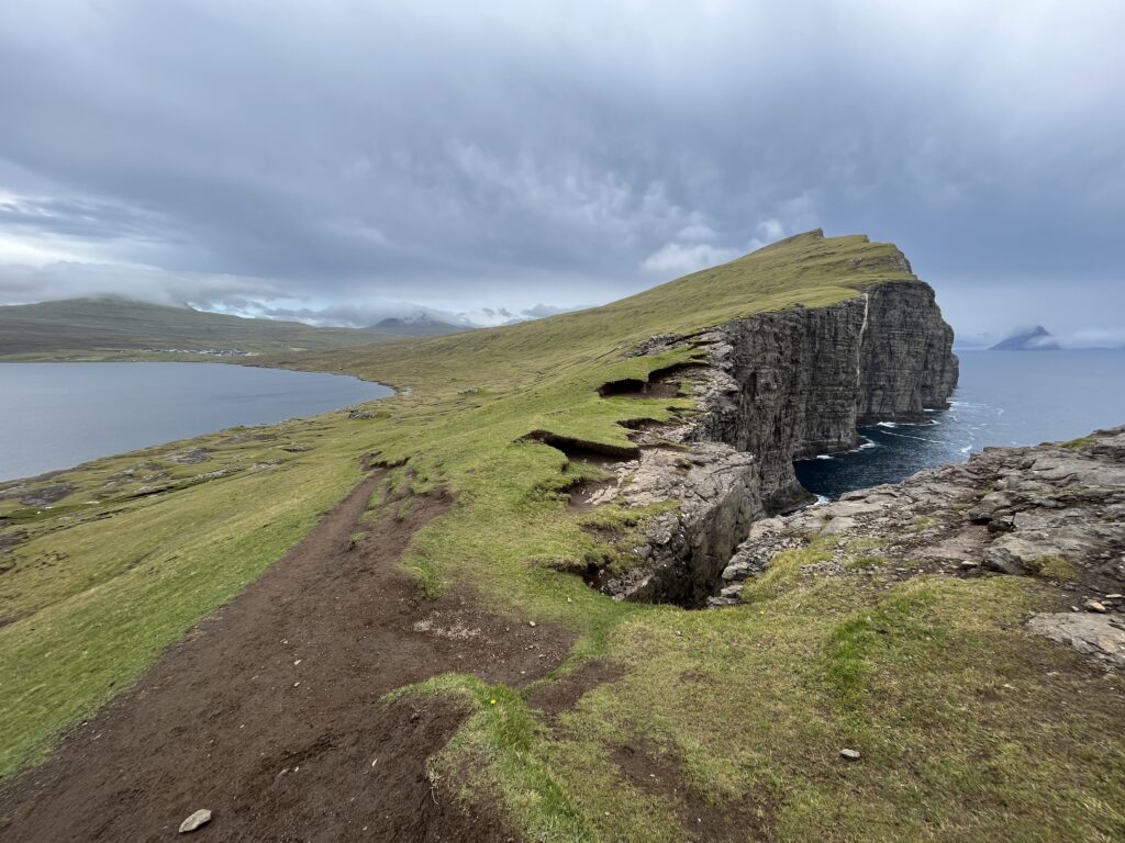
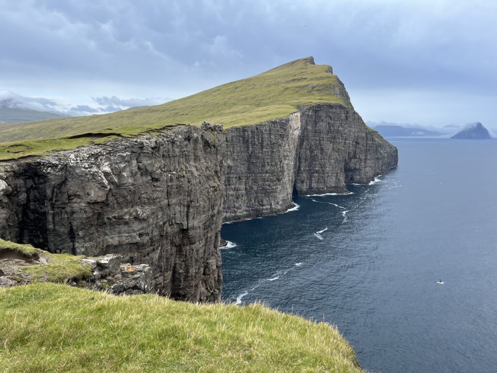
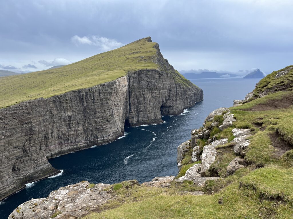
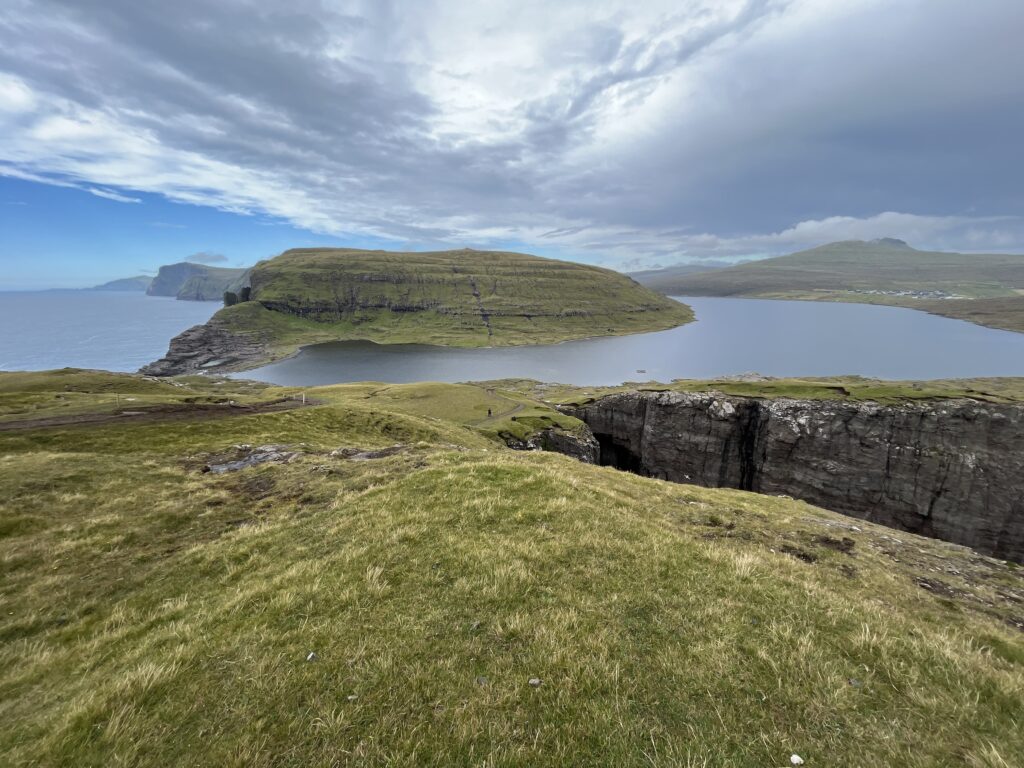
The trail was supposed to end at a viewpoint of a waterfall. But we totally forgot about it and turned back when we thought we had reached the end. So we missed it 😂.
About half way back, it started raining and the wind got stronger. We had to rush to finish it.
The hike:
My route:
Comment